First (Upper) Island Dells
Save this feature with the run it belongs to.
Gauge Conditions
Runnable: 350.0 – 2,200.0 CFS
Low, but possible to do just the dells as PnP. Bump-and-scrape, but some fun play.
Data from American Whitewater & USGS
Photo
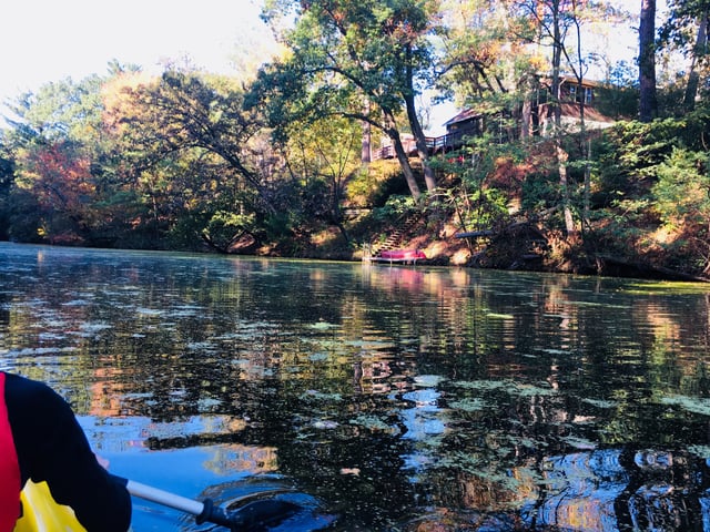
Photo courtesy of American Whitewater
Description
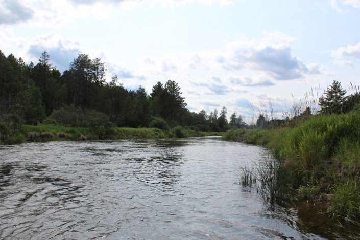
Many low, small islands dot the river at areas with little-or-no real rapids, thus it doesn't matter which side of those you run. However, there are two major (large) wooded islands which do have gradient of interest. This first one is best run on the right (which takes slightly more of the flow). After you pass most of the island, the channel twists to the left, and (before it rejoins the other channel) drops across a fine sequence of ledges and waves.
(The left channel is far less interesting and will be very rocky/boney until flows exceed 1500 cfs or so.)
Location
Interactive river map
Loads as you approach this section.

View Full Run
B) Eau Claire Dells to Lookout Rd. (4.6 miles)
Eau Claire (Wisconsin R. trib)
II-III(IV)
4.7 mi
Current Conditions
5-Day Forecast
Whitewater data from
American Whitewater
American Whitewater