Second (Lower) Island Dells
Save this feature with the run it belongs to.
Gauge Conditions
Runnable: 350.0 – 2,200.0 CFS
Low, but possible to do just the dells as PnP. Bump-and-scrape, but some fun play.
Data from American Whitewater & USGS
Photo
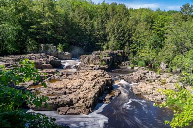
Photo courtesy of American Whitewater
Description
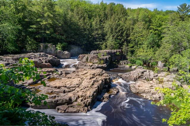
After passing under Hwy.Z, a brief paddle brings you to the second large, wooded island. Take the left channel here and you will find a very sweet constricted dells. This can be run pretty much right down the middle, through a fine series of waves and small holes. At moderate to high flows, the waves and holes will build, and boaters may enjoy a roller-coaster ride, or work the rapids by catching some eddies as you break up this flume/drop.
Location
Interactive river map
Loads as you approach this section.

View Full Run
B) Eau Claire Dells to Lookout Rd. (4.6 miles)
Eau Claire (Wisconsin R. trib)
II-III(IV)
4.7 mi
Current Conditions
5-Day Forecast
Whitewater data from
American Whitewater
American Whitewater