B) Hickey Creek to Hwy.41 (5.7 miles)
Gauge Conditions
Runnable: 400.0 – 4,000.0 CFS
Almost certainly too low for reasonable boating. (Likely less than 100 cfs.)
Data from American Whitewater & USGS
Run Map
Run Time Estimate
Select put-in and take-out to estimate time.
Plan This Trip
See wind-adjusted speed maps, forecast planning, and detailed time estimates.
Sign in to generate an AI timing estimate for this run.
Whitewater timing varies with scouting, portages, and group pace. Use as a planning baseline.
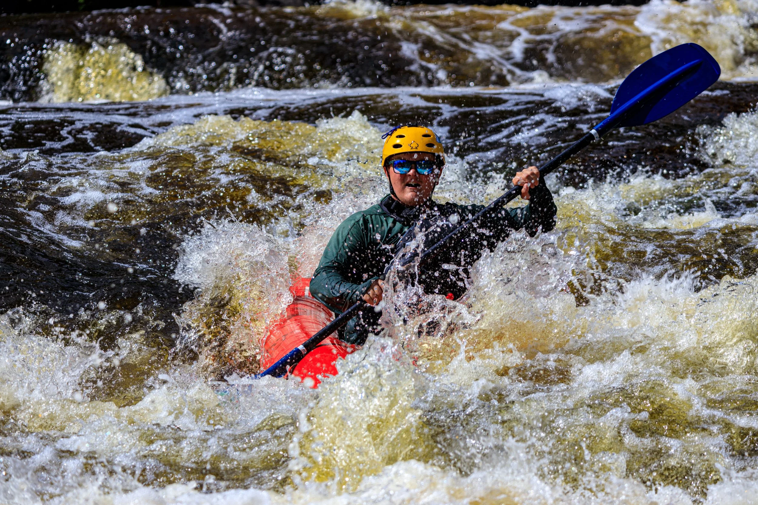
Description
Put-in (if there is adequate water) is on Hinkey Creek. Gradient actually starts about a quarter-mile upstream (South) of Old US Hwy.41. With drainage area at this point of close to 15 square miles, this is obviously 'micro creeking', runnable only with peak snowmelt or soon after heavy rains. From that point, there is very nearly a full mile of creek to the confluence with Sturgeon River, dropping ~90FPM.
At that confluence, you are (unfortunately) right at the end of a fine stretch of rapids on the Sturgeon. You may wish to hike up shore about a quarter-mile to catch this action.
You will then have 4.75 miles of the Sturgeon. The first 2.5 miles averages only 17 FPM, but things pick up so the last 2.25 miles averages nearly 30 FPM.
Make certain to take out immediately after the Hwy.41 bridge. Just downstream lies the Sturgeon Canyon section, with action accelerating quickly toward Canyon Falls. Definitely worth taking a look!
Rapids in this Run (6)
Playspots (1)
Hazards & Portages (1)
Caution: The following locations may require scouting or portaging. Always check current conditions.
Difficulty
Class II(III)
Length
5.5 mi
Gradient
34 ft/mi
max 90
Rapids
6
1 Hazard
Access Points
Difficulty Classes
I Easy
II Novice
III Intermediate
IV Advanced
V Expert/Extreme
VI Unrunnable
Current Conditions
5-Day Forecast
Whitewater data from
American Whitewater
American Whitewater