Rapid
MI
Confluence, Hinkey Creek / Sturgeon River
Save this feature with the run it belongs to.
Gauge Conditions
Runnable: 400.0 – 4,000.0 CFS
Almost certainly too low for reasonable boating. (Likely less than 100 cfs.)
Data from American Whitewater & USGS
Description
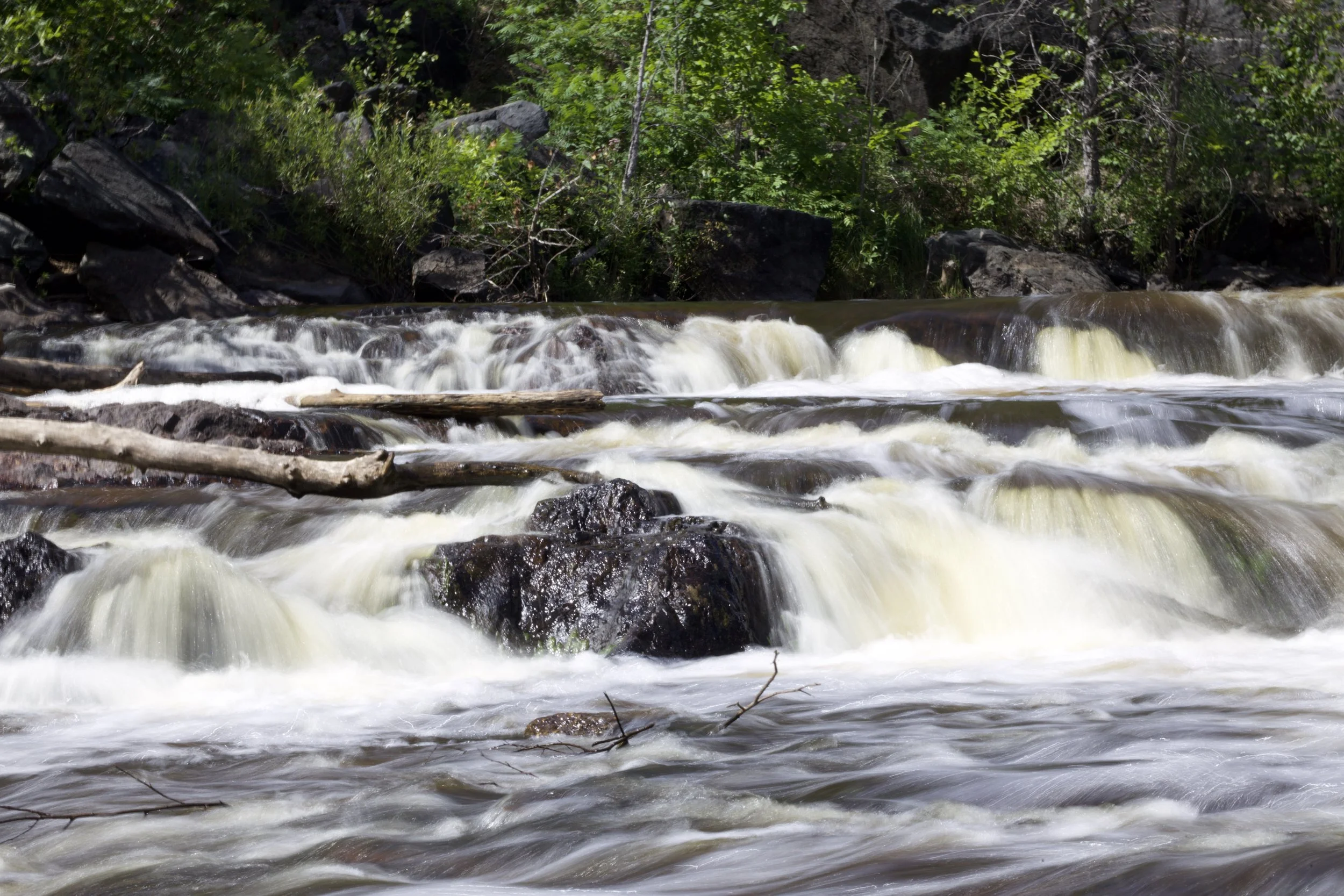
If you have been able to boat Hinkey Creek, at this confluence you are at the bottom of a 0.2 mile rapids on the Sturgeon. It may be worth hiking upstream to catch this fine action before heading downriver.
Location
Interactive river map
Loads as you approach this section.


View Full Run
B) Hickey Creek to Hwy.41 (5.7 miles)
Sturgeon (Baraga)
II(III)
5.5 mi
Current Conditions
5-Day Forecast
Whitewater data from
American Whitewater
American Whitewater