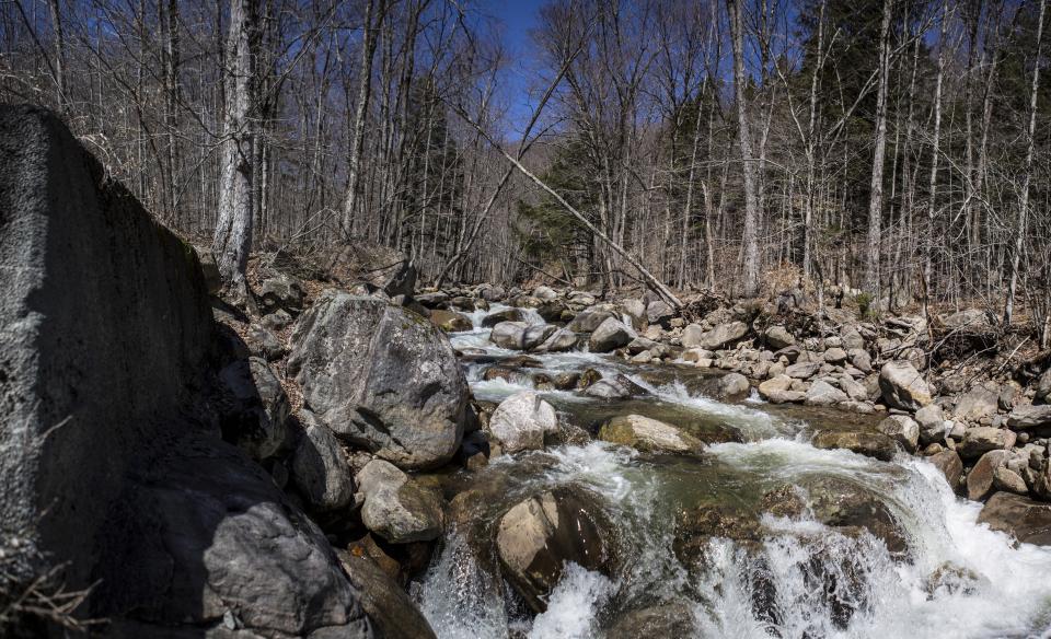
Christine Falls to East Branch
Gauge Conditions
Runnable: 2,000.0 – 15,000.0 CFS
The upper limit is a rough guess. If you think it'll be runnable, go ahead and scout.
Data from American Whitewater & USGS
Run Map
Run Time Estimate
Select put-in and take-out to estimate time.
Plan This Trip
See wind-adjusted speed maps, forecast planning, and detailed time estimates.
Sign in to generate an AI timing estimate for this run.
Whitewater timing varies with scouting, portages, and group pace. Use as a planning baseline.
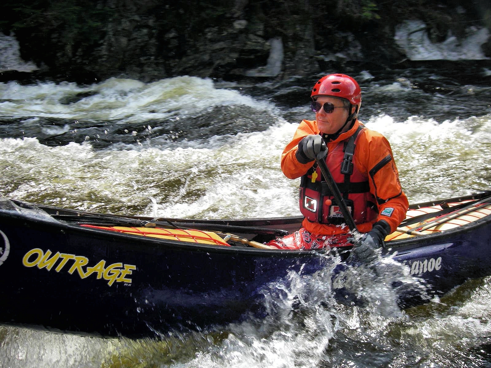
Description
Tim Trezise shared:
The Middle is a great run when everything else has dropped after a long amount of rain. It holds water from the two big slow-draining lakes and still cranks class V rapids when everything else is back to low levels. Put in at the Old Rte. 30 bridge upstream from Christine Falls or just start at or below Christine Falls (you need a lot of water coming over the dam to flirt with Christine). Do not trespass on or around the dam. Finding a starting spot below the dam when the water is high is very tricky. Creative seal starts work. Be careful of the undercut left wall at the bottom of the drop.
Run Christine's Revenge (just downstream - finishing at the powerhouse). Revenge is about a 10' falls on the right and a bumpy slide on the left. At high water the hole below the falls can be very frothy and retentive; you may opt for the left slide.
Boogie water to Roadside Falls (when low, run the slide/slot right; when high, go for the big-air boof left and stay out of the hole). Get some video action here.
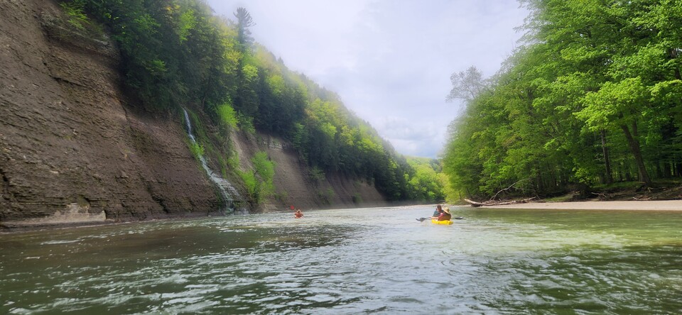
A bunch of boat-scoutable horizon lines and fun slides & more boogie water take you to the flatwater before Austin Falls.
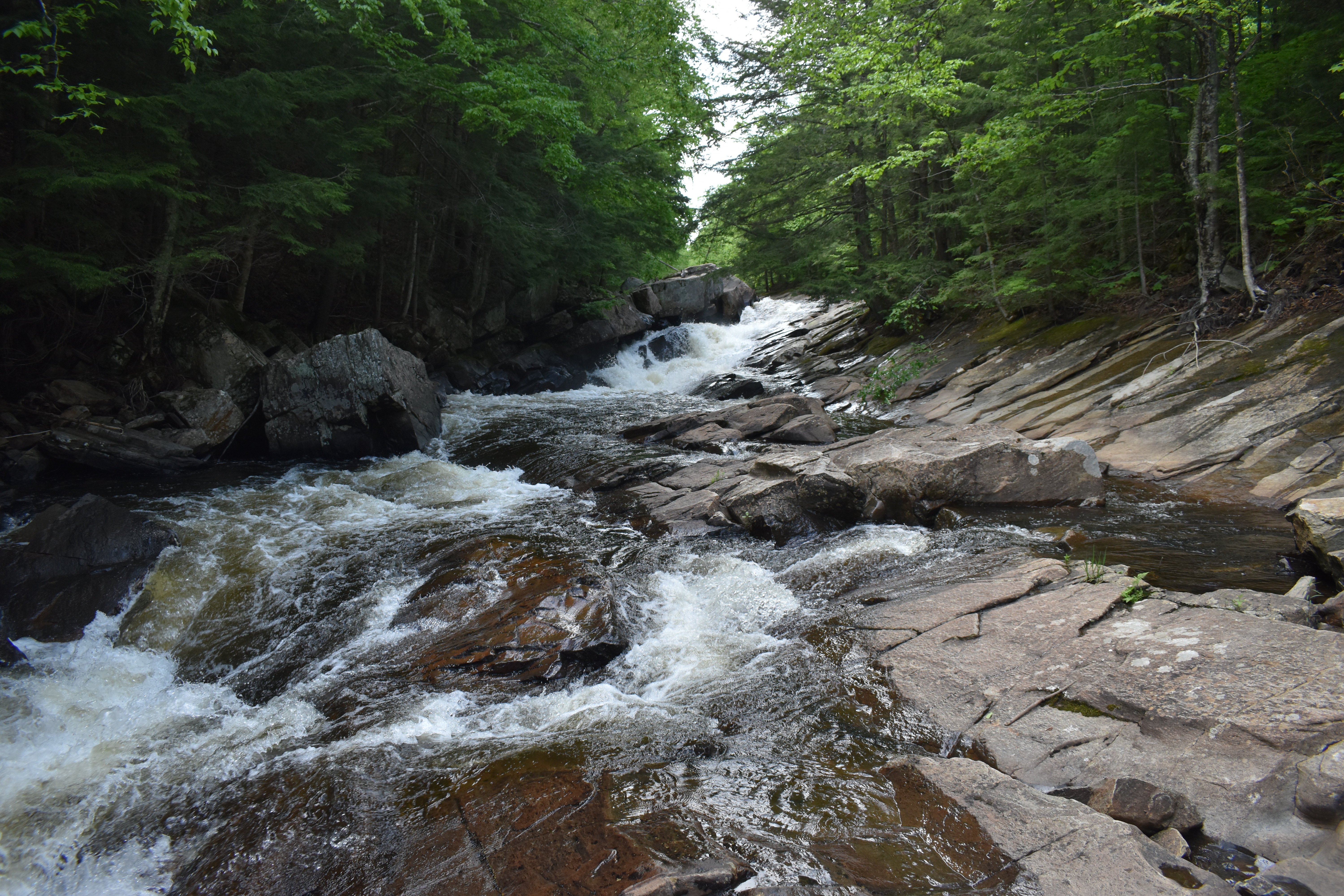
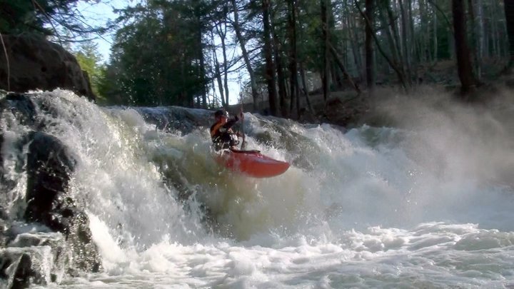
When you see the rapids forming again, get out and scout on the left, using the old road. The upper section is a powerful slide (V) with undercut/pinning rocks on the right. You can run the lower IV+ section into the big curly tube or waterfall - depending on if it is low or medium. The Groove Tube (at low-medium water) is a very unique river feature that is fun to paddle right into and emerge airborne on when coming out the other side. High water is dangerous, fast and powerful V+--not recommended. The Class-IV runout of Austin below the Groove Tube is a great series of slides and boulder drops. Mellow class II brings you to the old bridge (optional takeout) or blast through 2 miles of flatwater to the class-III entrance to Auger (VI).
Take out right before Screaming Right Hand Turn. Carry or die. One boater accidentally was swept over the falls and survived by an act of God. The gorge below Auger is V, tapering to IV to III to II, finishing in over a mile at the Rte. 8 Bridge. Take out about 200 meters past the bridge on the left along a secondary road. Watch out for poison ivy.
Portage: Auger Falls
South-Eastern Adirondack Area Reaches
Batten Kill Beecher Creek County Line Brook
Dunning Creek East Stony CreekElbow Creek
Georgia Brook Glen CreekHolmes Lake Outlet
Hudson (3. Riparius to the Glen) Hudson (4.) Hudson (5.)
Hudson (6.) Jimmy Creek Mill Creek (Hudson trib.)
North Creek Pike Brook Piseco Outlet
Roaring Branch Sacandaga (1.) Sacandaga (2.)
Sacandaga, E. Branch (1.) Sacandaga, E. Branch (2.) Sacandaga, E. Branch (3.)
Sacandaga, Middle Branch Sacandaga, W. Branch (Upper) Sacandaga, W. Branch (Lower)
Sand Creek Schroon (Starbuckville to Riverbank) Schroon (Warrensburg to Thurman Station)
Stony Creek (1.) Stony Creek (2.)Tenant Creek
Wolf Creek
Google Map of New York Whitewater
New York Whitewater Paddlers Facebook Group
Rapids in this Run (2)
Waterfalls (2)
Hazards & Portages (2)
Caution: The following locations may require scouting or portaging. Always check current conditions.
Difficulty
Class III-V+
Length
10.1 mi
Rapids
2
2 Hazards
Access Points
Difficulty Classes
I Easy
II Novice
III Intermediate
IV Advanced
V Expert/Extreme
VI Unrunnable
Current Conditions
5-Day Forecast
Whitewater data from
American Whitewater
American Whitewater