FM 501 to CR 442 (9 miles)
Gauge Conditions
Runnable: ? – ? CFS
Approximate reading: This gauge is 12.8 miles away on Cherokee Creek. Use as a general reference only.
Data from American Whitewater & USGS
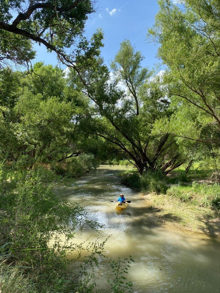
Run Map
Run Time Estimate
Select put-in and take-out to estimate time.
Plan This Trip
See wind-adjusted speed maps, forecast planning, and detailed time estimates.
Sign in to generate an AI timing estimate for this run.
Whitewater timing varies with scouting, portages, and group pace. Use as a planning baseline.
Description
Texas Whitewater described Cherokee as 'probably the third best whitewater creek in the state' (after Crabapple and Mexican) and described a 'nonstop playground' of whitewater features, but unfortunately that no longer appears to be the case. As of July 2025, paddlers report that most of the first 6-7 miles is now flat water impounded by must-portage low-head dams and low-water crossings, which would likely become deadly with thousands of cfs. These hazards have been catalogued below. Most if not all of them did not exist when Texas Whitewater was written.
The book suggests parking on the south side of the bridge at the put-in to avoid landowner issues.
Difficulty rating and recommended level are taken from the book. Distances and gradient measured using GIS tools in 2015.
Use the LCRA Hydromet for Cherokee Creek at Bend to determine whether Cherokee is runnable. The book recommends 5.5' minimum on this gauge and suggests that if the low-water crossing at the takeout is covered, then the creek is runnable.
Hazards & Portages (7)
Caution: The following locations may require scouting or portaging. Always check current conditions.


Difficulty
Class III-IV
Length
9.1 mi
Gradient
17 ft/mi
Rapids
0
7 Hazards
Access Points
Difficulty Classes
I Easy
II Novice
III Intermediate
IV Advanced
V Expert/Extreme
VI Unrunnable
Current Conditions
5-Day Forecast
Whitewater data from
American Whitewater
American Whitewater