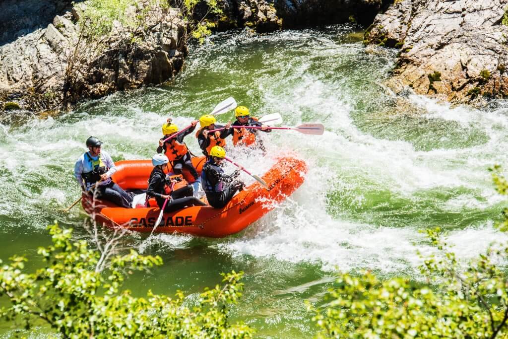
Hazard
TX
Low-Water Crossing
Save this feature with the run it belongs to.
Gauge Conditions
Runnable: ? – ? CFS
Approximate - nearest available gauge. Use as general reference only.
Data from American Whitewater & USGS
Photo
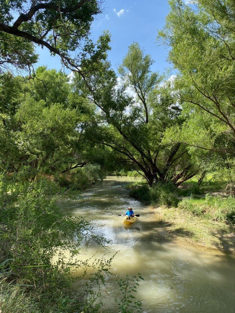
Photo courtesy of American Whitewater
Description
Low-Water Crossing presents a significant hazard at low water levels, with exposed concrete or rock infrastructure creating potential pin and entrapment risks for paddlers. Navigating this section requires careful scouting and precise boat placement to avoid infrastructure and potential strainers, with the concrete crossing potentially creating hydraulic features that can trap boats and paddlers. Extreme caution is advised, particularly during low flow conditions when underwater obstacles become more prominent.
Location


View Full Run
FM 501 to CR 442 (9 miles)
Cherokee Creek
III-IV
9.1 mi
Hazard — Exercise extreme caution. Portage recommended — scout before running.
Current Conditions
5-Day Forecast
Whitewater data from
American Whitewater
American Whitewater