FR 68 Bridge to Highway 2 bridge
Gauge Conditions
Runnable: ? – ? CFS
Approximate reading: This gauge is 4.0 miles away on Foss. Use as a general reference only.
Data from American Whitewater & USGS
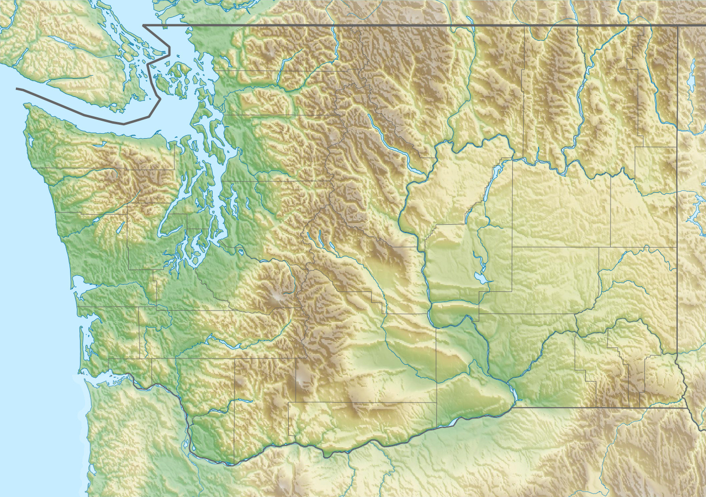
Run Map
Run Time Estimate
Select put-in and take-out to estimate time.
Plan This Trip
See wind-adjusted speed maps, forecast planning, and detailed time estimates.
Sign in to generate an AI timing estimate for this run.
Whitewater timing varies with scouting, portages, and group pace. Use as a planning baseline.
Description
The Foss is a popular creek run in the Skykomish drainage and a dependable option during spring snowmelt. It is sometimes possible to run the Foss during an early fall rain event, but it is typically snowed in during the winter.
You could put in as high as the bridge across the river at Forest Road 68 mile 5.0, as described in the Bennett guidebook, but this option is not recommended due to the low-gradient, braided channel and the likelihood of log jams. Most boaters put in at the start of the whitewater at Forest Road 68 mile 3.5. This access is at the turnoff to Forest Road 6830, where a decent trail leads down to the river and puts you on the water just upstream of an island.
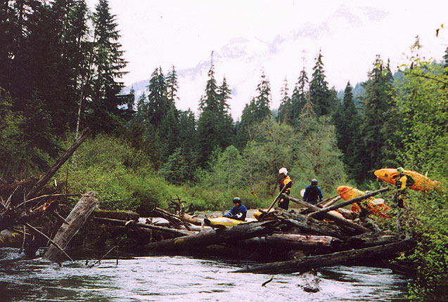
From this point downstream, the rapids are Class III+ until you encounter larger boulders and a horizon line a few short minutes below the put-in. This marks the beginning of a couple hundred yards of Class IV action, ending at an eddy upstream of Ken and Barbie. On river left, a talus field slopes down toward the river, and several very large boulders extend into the channel. Ken and Barbie can also be partially scouted during the shuttle by scrambling down toward the river near the mile 3 marker on Forest Road 68, though trees make scouting from the road difficult.
At Ken and Barbie, the river splits left and right around a midstream rock, with the two pourovers rejoining in a hole at the bottom. The primary hazard here is wood, which can easily wedge between the boulders (this drop can push V- particulary at higher flows). Catch an eddy below Ken and Barbie and stay in control through continued Class IV action for the next several hundred yards. Stay alert for logs and enjoy the ride. Most rapids from this point downstream are straightforward, though you may want to get out and check a few drops to confirm they are clean. Shortly after this section, the river begins to mellow, lines become easier to read from the boat, and within a few minutes the railroad bridge appears overhead.
The railroad bridge can serve as an alternate put-in for those looking for a fun but short 2.2 mile Class III+ creek run (1.4 miles on the Foss and 0.8 mile on the Tye). Unlike the nearby Miller, the Foss offers quality whitewater all the way to the confluence with the Tye River, which itself contains a couple of fun, moderately technical Class III drops before reaching the Highway 2 bridge, the standard take-out.
Logistics: Follow Highway 2 east to the bridge across the Tye River at mile 51.0 (elevation 990'). There is space for one or two vehicles and a decent take-out on river right, just upstream of the bridge. To reach the put-in, continue west across the bridge and make an immediate left onto Tye River Road. Follow this road for 0.7 miles to the junction with Foss River Road (Forest Road 68) and turn left. The bridge across the Foss River at Forest Road 68 mile 1.0 serves as an alternate take-out (if driving directly to this take-out, turn onto Foss River Road from Highway 2 at mile 50.6). After crossing the Foss River bridge, the pavement ends and the road makes a sharp right turn. At mile 2.5, the road passes beneath the railroad trestle, which can be used as an alternate put-in for the easier Class III stretch. To put in at the start of the Class IV section, continue to mile 3.5 at the Forest Road 6830 turnoff. For the complete run, including the braided channel at the start, continue to mile 5.0 and the Forest Road 68 bridge across the river (elevation 1,500'). Check road conditions with the Mt. Baker - Snoqualmie National Fores; follow the forest road conditions report under the recreation section of the website.
for additional information see:
- Bennett, J. and T. Bennett. 1997. A guide to the whitewater riversof Washington, second edition. Swiftwater Publishing. Portland, OR.
- Skykomish Ranger District - USFS Mt. Baker - Snoqualmie National Forest website
- Foss River
page on Rackley's Oregon Kayaking site.

Difficulty
Class IV+
Length
2.6 mi
Gradient
104 ft/mi
max 193
Rapids
4
Access Points
Difficulty Classes
I Easy
II Novice
III Intermediate
IV Advanced
V Expert/Extreme
VI Unrunnable
Current Conditions
5-Day Forecast
Whitewater data from
American Whitewater
American Whitewater