Rapid
WA
Forest Road 68 Bridge Take-out
Save this feature with the run it belongs to.
Gauge Conditions
Runnable: ? – ? CFS
Approximate - nearest available gauge. Use as general reference only.
Data from American Whitewater & USGS
Photo
Photo courtesy of American Whitewater
Description
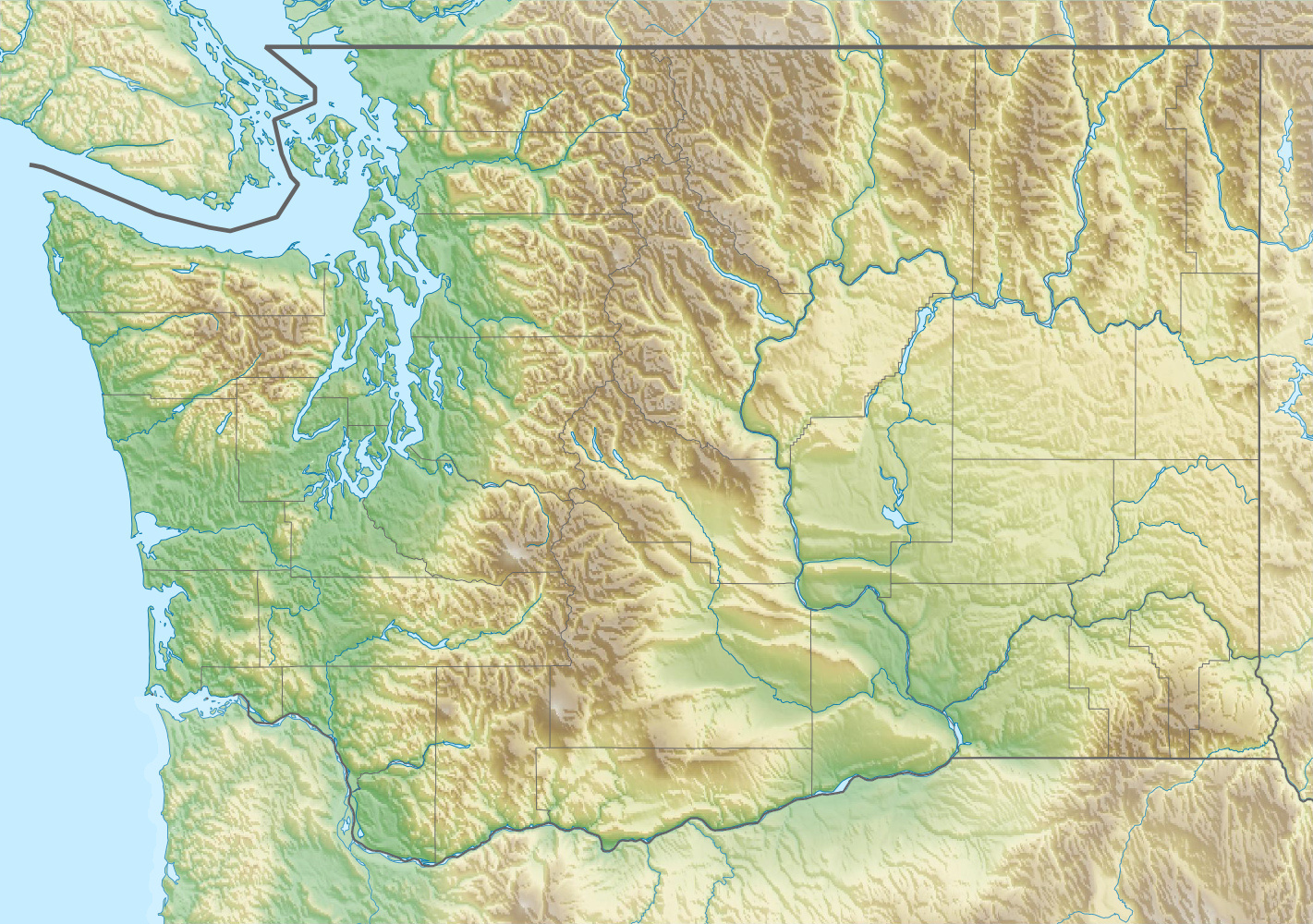
Although many continue downstream onto the Tye River for another 0.8 mile, the bridge across the Foss River at mile 1.0 on Forest Road 68 serves as an alternate takeout. It is located immediately upstream of the confluence with the Tye River. The land here is all private so be sure to stay within the bridge right-of-way if using this as an access point. Forest Road 68 (the Foss River Road) begins at Highway 2, mile 50.6.
Location
Interactive river map
Loads as you approach this section.
View Full Run
FR 68 Bridge to Highway 2 bridge
Foss
IV+
2.6 mi
Current Conditions
5-Day Forecast
Whitewater data from
American Whitewater
American Whitewater