Rapid
WA
Foss-Tye River confluence
Save this feature with the run it belongs to.
Gauge Conditions
Runnable: ? – ? CFS
Approximate - nearest available gauge. Use as general reference only.
Data from American Whitewater & USGS
Photo
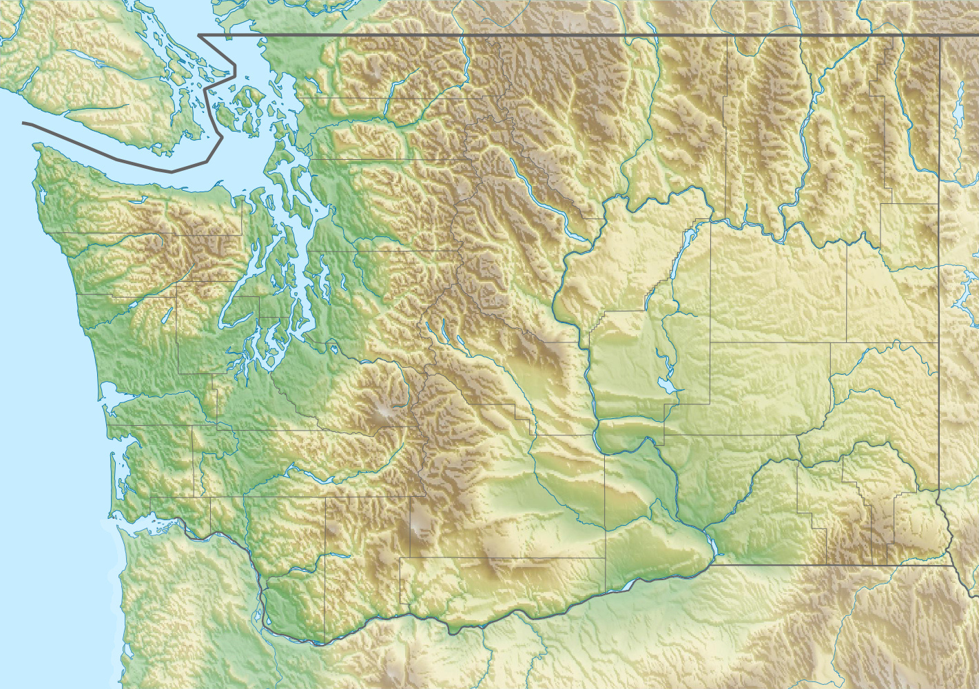
Photo courtesy of American Whitewater
Description
From the confluence where the Foss River joins the Tye River, continue 0.8 mile down the Tye River to the Highway 2 Bridge.
Location
Interactive river map
Loads as you approach this section.


View Full Run
FR 68 Bridge to Highway 2 bridge
Foss
IV+
2.6 mi
Current Conditions
5-Day Forecast
Whitewater data from
American Whitewater
American Whitewater