Put-in
WA
Forest Road 6830 Junction Put-in
Save this feature with the run it belongs to.
Gauge Conditions
Runnable: ? – ? CFS
Approximate - nearest available gauge. Use as general reference only.
Data from American Whitewater & USGS
Photo
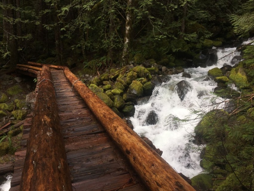
Photo courtesy of American Whitewater
Description
Although the river can be accessed farther upstream, the standard put-in—used to avoid the low-gradient, braided channel—is at the junction of Forest Road 6830 and Forest Road 68. This access is located at mile 3.5 on Forest Road 68 (the Foss River Road), where Forest Road 6830 branches off to the left. From here, it is a short hike through the woods down to the river. A faint social trail, worn in by kayakers, may be visible, though it is not always easy to find. If no clear path appears, continue working your way downslope toward the river; the Pacific coastal rainforest is quick to reclaim any trace of past travel.
Location
Interactive river map
Loads as you approach this section.
View Full Run
FR 68 Bridge to Highway 2 bridge
Foss
IV+
2.6 mi
Current Conditions
5-Day Forecast
Whitewater data from
American Whitewater
American Whitewater