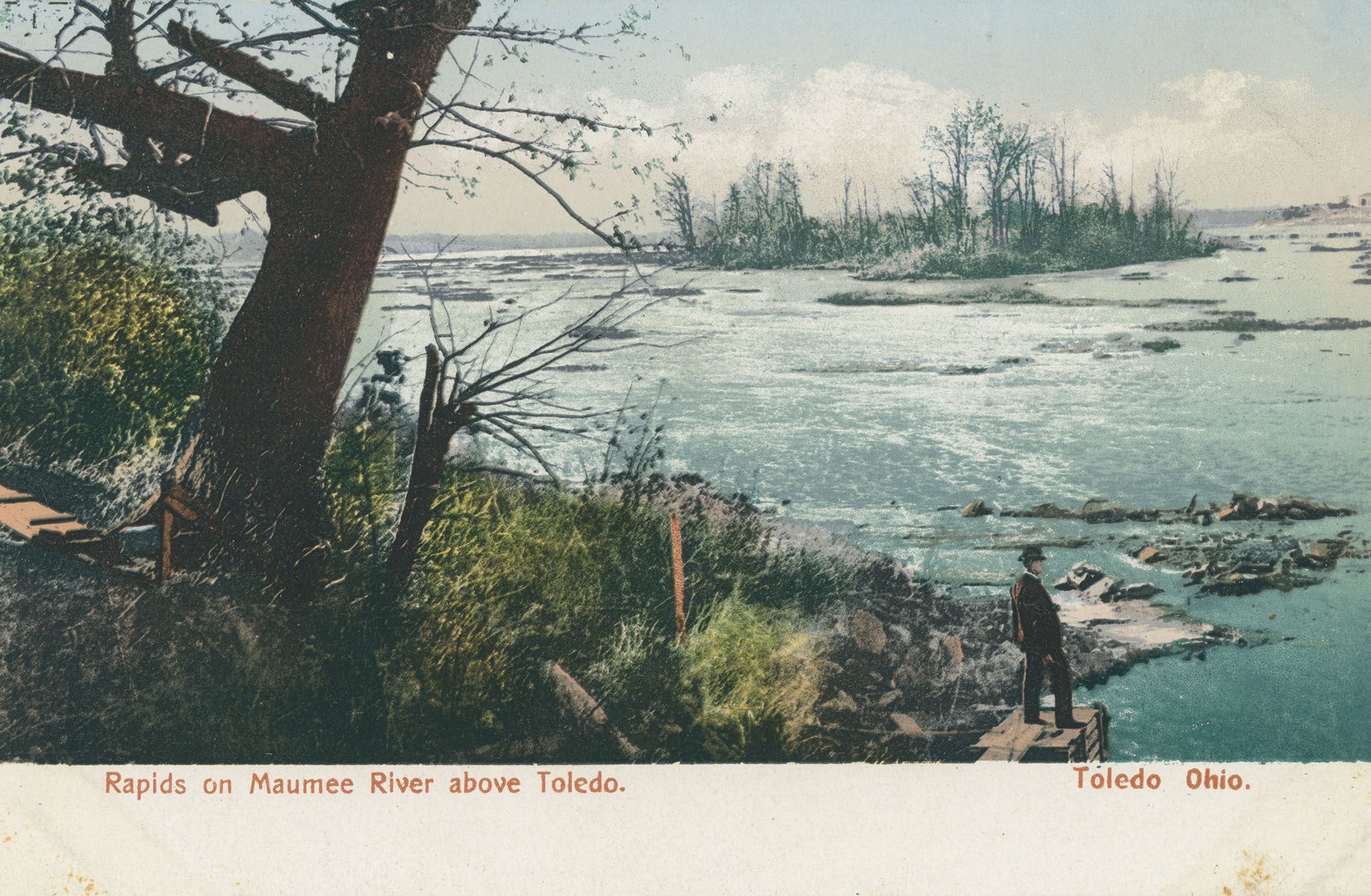
Highway 212 to Minnesota River (10.6 miles)
Gauge Conditions
Runnable: 300.0 – 2,000.0 CFS
Likely too low for reasonable whitewater trip. (We lack first-hand awareness here. Please add a comment or report.)
Data from American Whitewater & USGS
Run Map
Run Time Estimate
Select put-in and take-out to estimate time.
Plan This Trip
See wind-adjusted speed maps, forecast planning, and detailed time estimates.
Sign in to generate an AI timing estimate for this run.
Whitewater timing varies with scouting, portages, and group pace. Use as a planning baseline.
Description
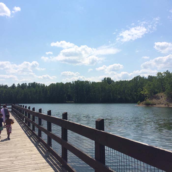
This appears to have a bit of gradient and aerial views show at least some shoals.
Have you looked at or paddled any of this? Please help out your fellow boaters by providing a report. (Even better if you can include some photos or link to video!)
Rapids in this Run (5)
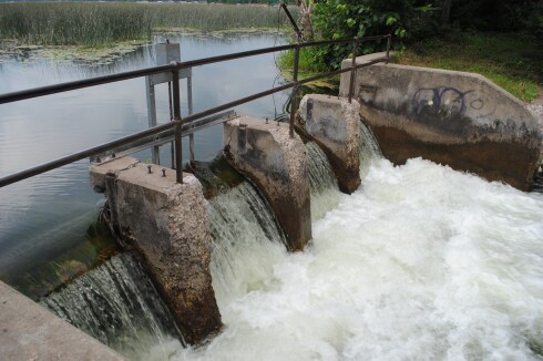
Hazards & Portages (1)
Caution: The following locations may require scouting or portaging. Always check current conditions.
Difficulty
Class I-II
Length
10.6 mi
Gradient
7 ft/mi
max 10
Rapids
5
1 Hazard
Access Points
Difficulty Classes
I Easy
II Novice
III Intermediate
IV Advanced
V Expert/Extreme
VI Unrunnable
Current Conditions
5-Day Forecast
Whitewater data from
American Whitewater
American Whitewater