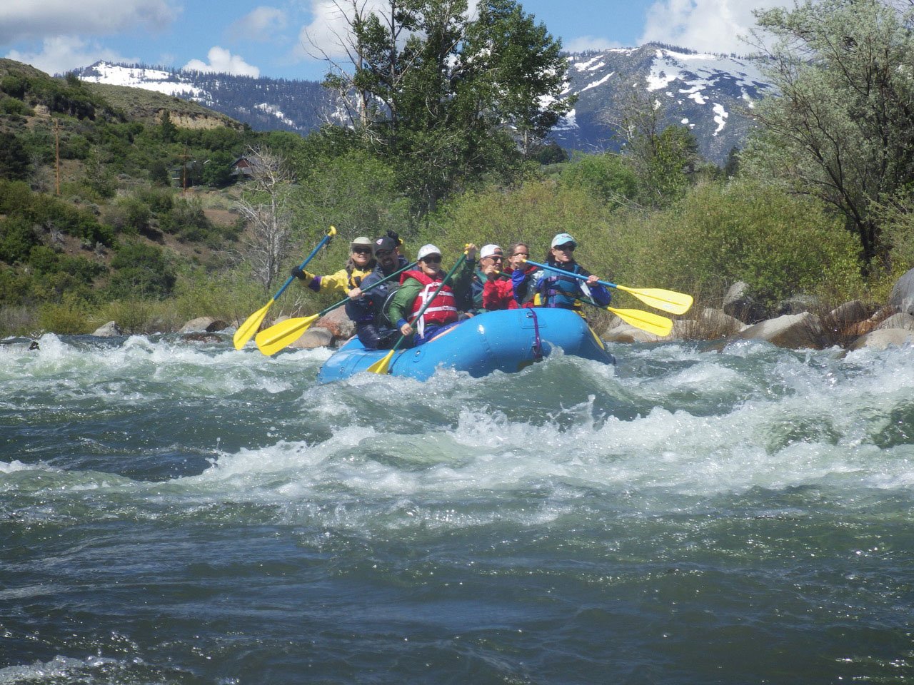
Rapid
MN
Powerlines
Save this feature with the run it belongs to.
Gauge Conditions
Runnable: 300.0 – 2,000.0 CFS
Likely too low for reasonable whitewater trip. (We lack first-hand awareness here. Please add a comment or report.)
Data from American Whitewater & USGS
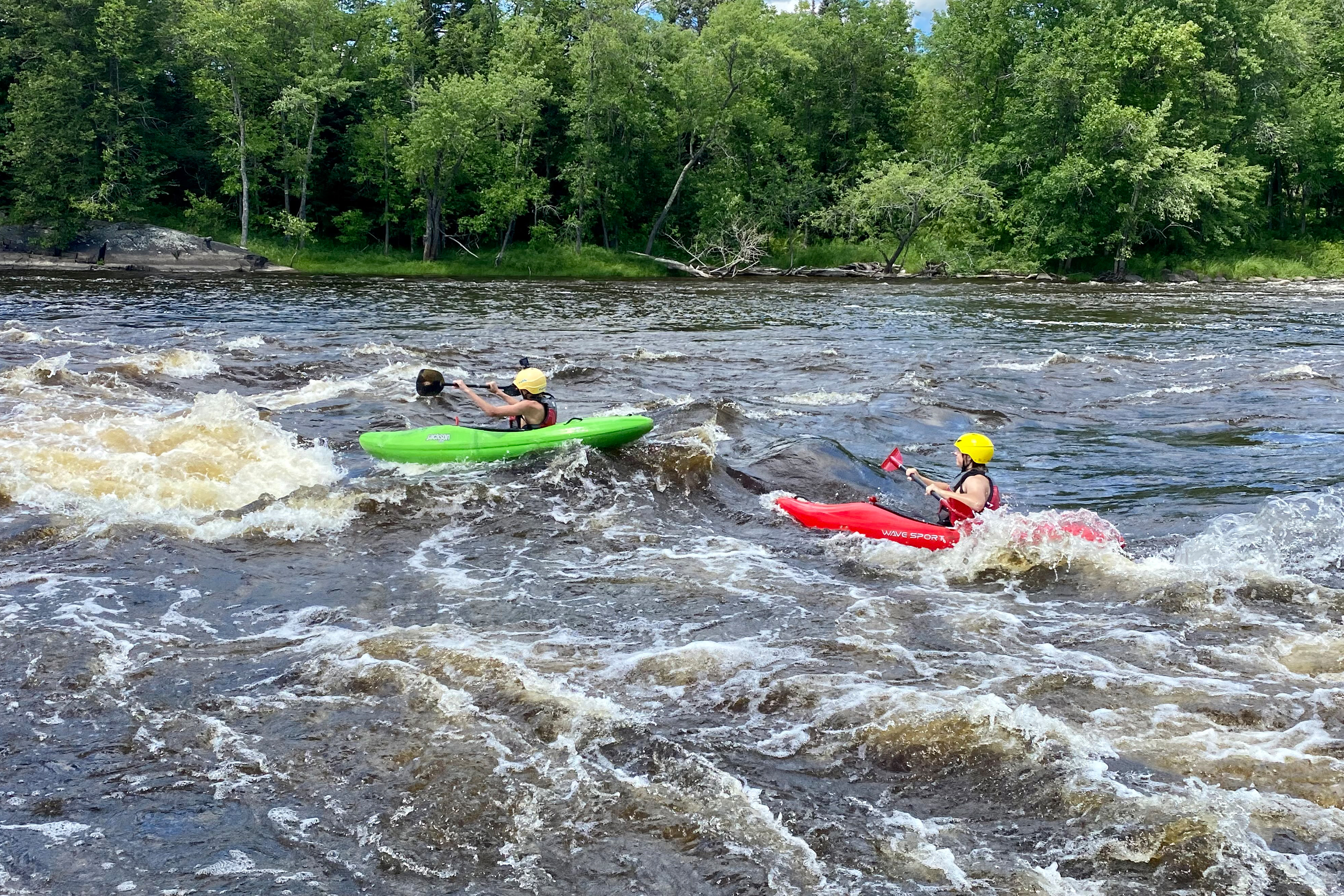
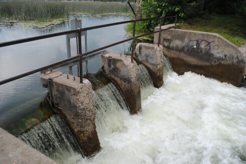
Photo

Photo courtesy of American Whitewater
Description
Just after you pass under some powerlines overhead, there is a big shoals or gravelled island. Satellite view shows an accumulation of woody debris to the left (may or may not still be present, but likely to (re)accumulate more wood in future), so better choice may be staying to the right here.
Location

View Full Run
Highway 212 to Minnesota River (10.6 miles)
Hawk Creek
I-II
10.6 mi
Current Conditions
5-Day Forecast
Whitewater data from
American Whitewater
American Whitewater