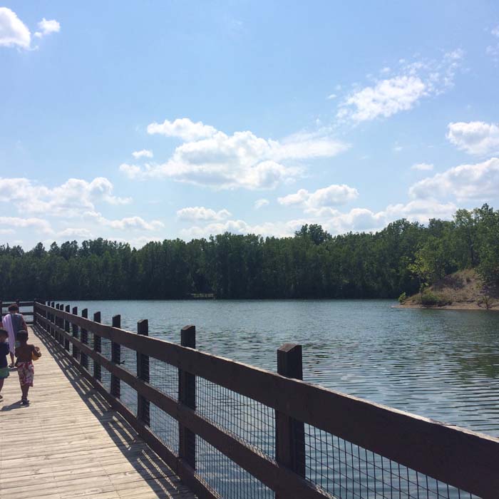
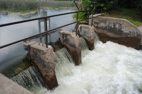
Take-out
MN
Take Out: County Road 21
Save this feature with the run it belongs to.
Gauge Conditions
Runnable: 300.0 – 2,000.0 CFS
Likely too low for reasonable whitewater trip. (We lack first-hand awareness here. Please add a comment or report.)
Data from American Whitewater & USGS
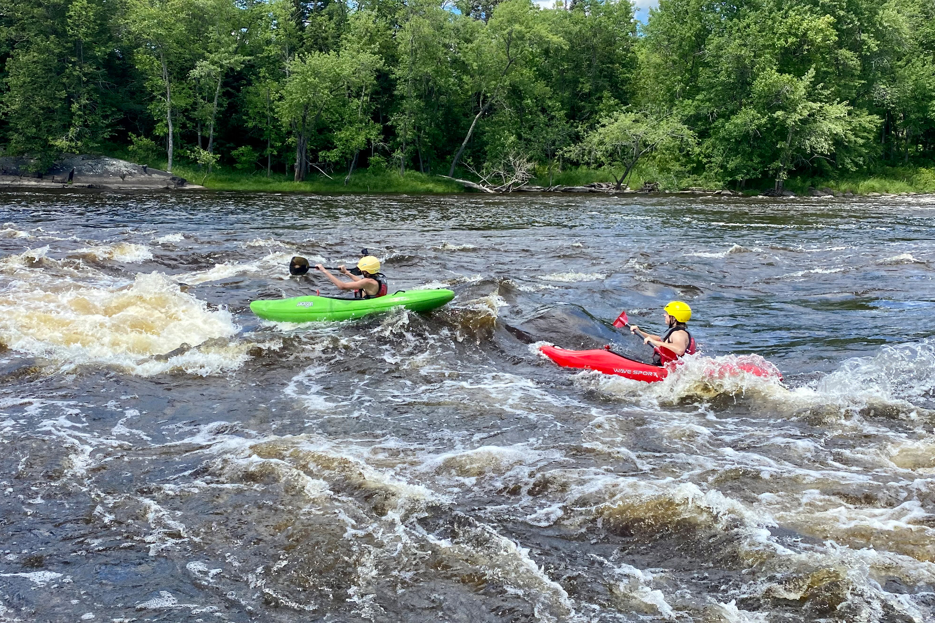
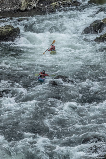
Photo
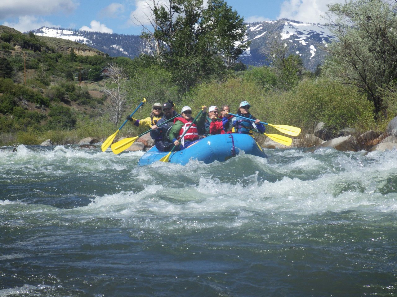
Photo courtesy of American Whitewater
Description
Alternative take-outs may be available (and may actually prove more advantageous ... let us know!)
Location


View Full Run
Highway 212 to Minnesota River (10.6 miles)
Hawk Creek
I-II
10.6 mi
Current Conditions
5-Day Forecast
Whitewater data from
American Whitewater
American Whitewater