Hazard
MN
Island
Save this feature with the run it belongs to.
Gauge Conditions
Runnable: 300.0 – 2,000.0 CFS
Likely too low for reasonable whitewater trip. (We lack first-hand awareness here. Please add a comment or report.)
Data from American Whitewater & USGS
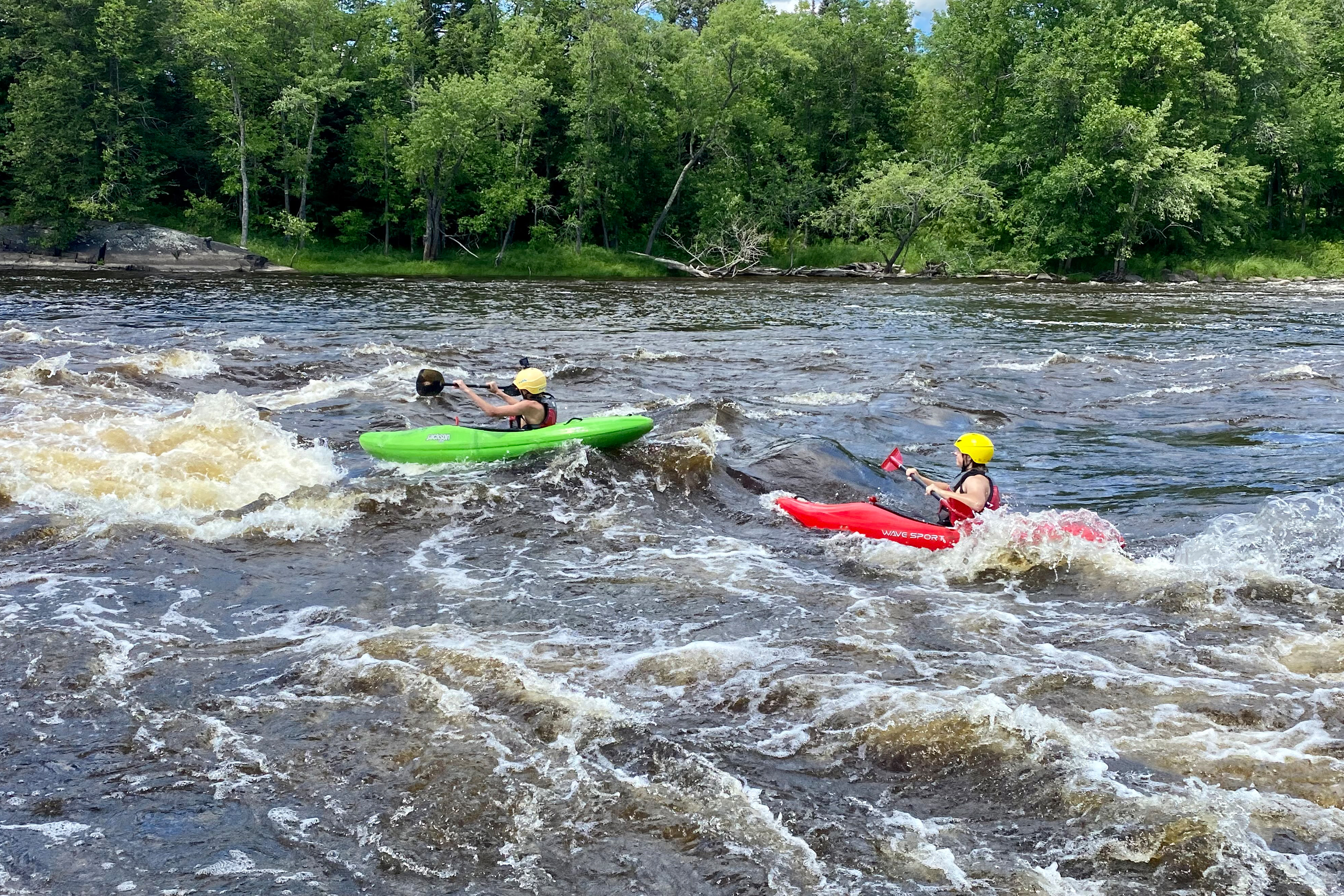
Photo
Photo courtesy of American Whitewater
Description
A pretty fair-sized island splits the flow. As of the date of the present satellite images, there appears to be considerable wood accumulated at the head of this island, and on a much smaller island toward the end of the left channel. Passage appears possible, but could change at any time.
Heading down the right channel may be the safer choice for those inexperienced in dealing with snags in strong currents.
Location


View Full Run
Highway 212 to Minnesota River (10.6 miles)
Hawk Creek
I-II
10.6 mi
Hazard — Exercise extreme caution in this area.
Current Conditions
5-Day Forecast
Whitewater data from
American Whitewater
American Whitewater