Hwy.45 to M Br Ontonagon to Hwy.45 (5.9 + 3.3 miles)
Gauge Conditions
Runnable: ? – ? CFS
Approximate reading: This gauge is 5.8 miles away on Baltimore. Use as a general reference only.
Data from American Whitewater & USGS
Run Map
Description
Quick Facts:
Location: midway between Rockland and Bruce Crossing, 18 miles SSW of Ontonagon, MI.
Shuttle Length: 4.3 miles. (See details in "Directions" Tab.)
Character: A couple short falls, bedrock slides, and undercuts.
Put-in is approximately 959' elevation.
Confluence is approximately 713' elevation.
Thus total elevation change (Baltimore only) is approximately 246'.
Take-out is approximately 661' elevation.
Thus total elevation change (full run) is approximately 298' (for overall gradient of 32 FPM).
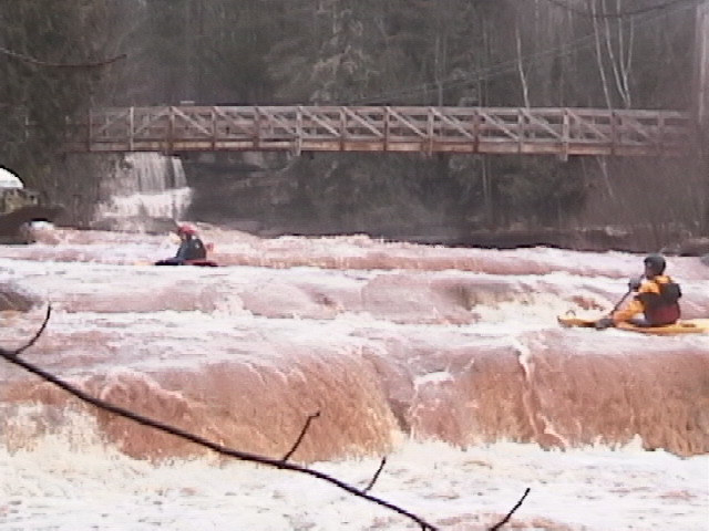
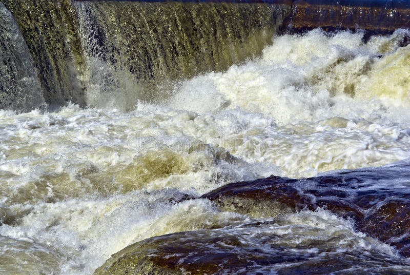
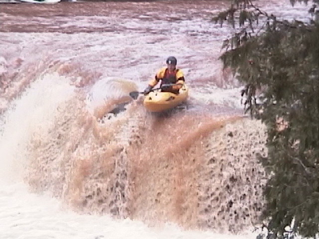
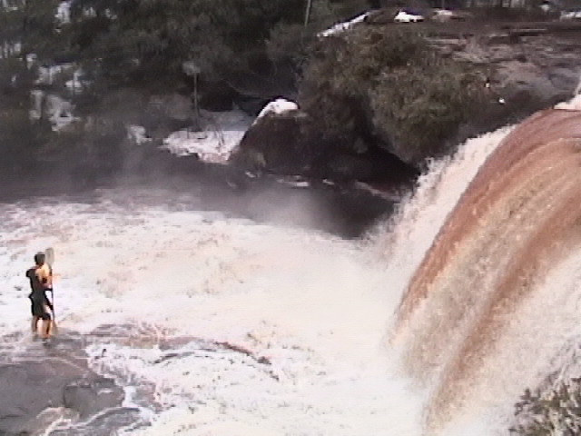
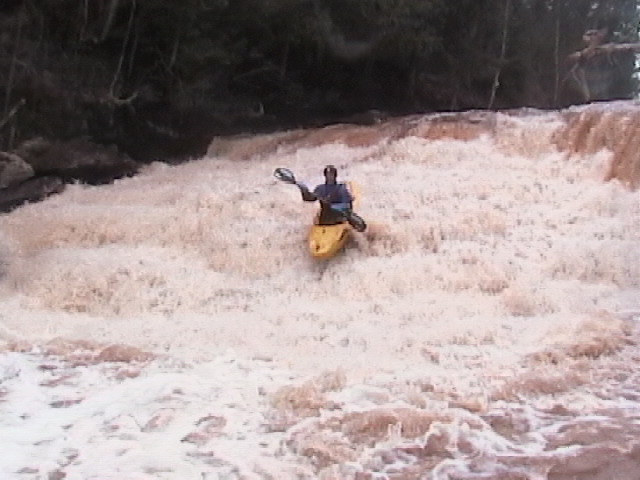
The first 2.5 miles of this reach are a quietwater access paddle with very little gradient. Things start picking up as one approaches _" Creamy Peanut Butter Falls"_, a very runnable vertical drop of about 10'. A short distance downstream, _Okundekun Falls_, about 20' vertical which, while possibly runnable, should be considered a portage (river left) since it mostly lands hard on rock. The fun part of the Baltimore begins below Okundekun Falls with very interesting geology creating a great mix of slides and boulder drops (see rapids details below). Unlike most other challenging runs in the U.P., the river bottom is smooth sandstone. (This is the midwest version of slick-rock. In fact, the canyon section downstream makes for some great mountain biking in the summer.) The paddle out on the M.Br.Ontonagon adds 3.9 miles of low gradient paddling (~13 FPM) to this run, and consists of moving water interspersed with a few light rockbed rapids.
Before you change out of your paddling gear, be sure to have a look at Sandstone Creek about 1/2 mile south of the take out, roadside along HWY 45. If you find it boatable, it will be a great 'capper' to your day!
Rapids in this Run (7)
Hazards & Portages (1)
Caution: The following locations may require scouting or portaging. Always check current conditions.
Difficulty
Class III-IV+
Length
8.5 mi
Gradient
46 ft/mi
max 116
Rapids
7
1 Portage
Access Points
Difficulty Classes
I Easy
II Novice
III Intermediate
IV Advanced
V Expert/Extreme
VI Unrunnable
Current Conditions
5-Day Forecast
Whitewater data from
American Whitewater
American Whitewater