Cyclops
Save this feature with the run it belongs to.
Gauge Conditions
Runnable: ? – ? CFS
Approximate - nearest available gauge. Use as general reference only.
Data from American Whitewater & USGS
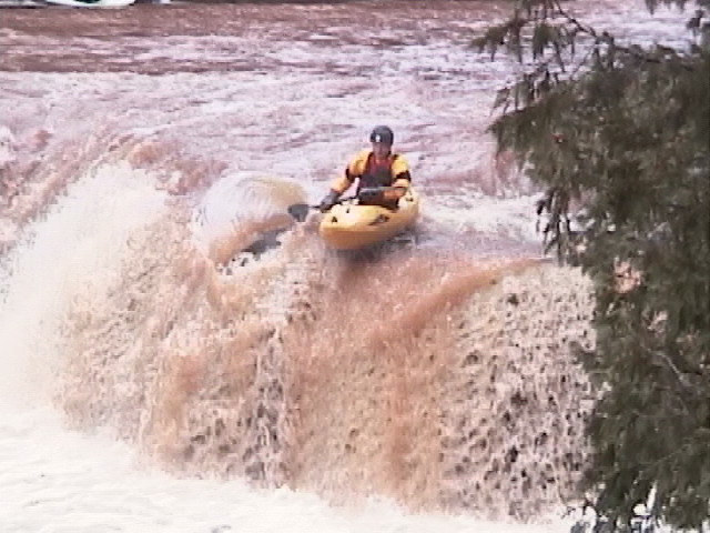
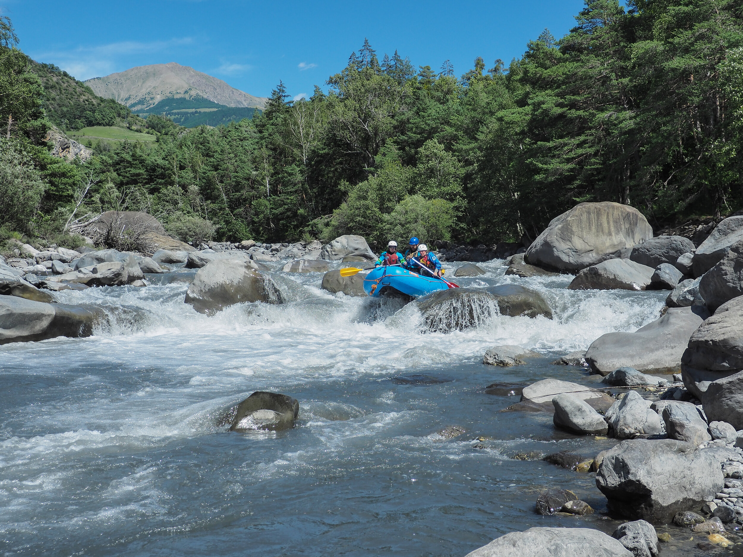
Photo
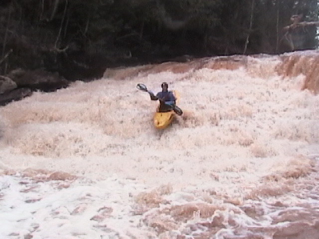
Photo courtesy of American Whitewater
Description
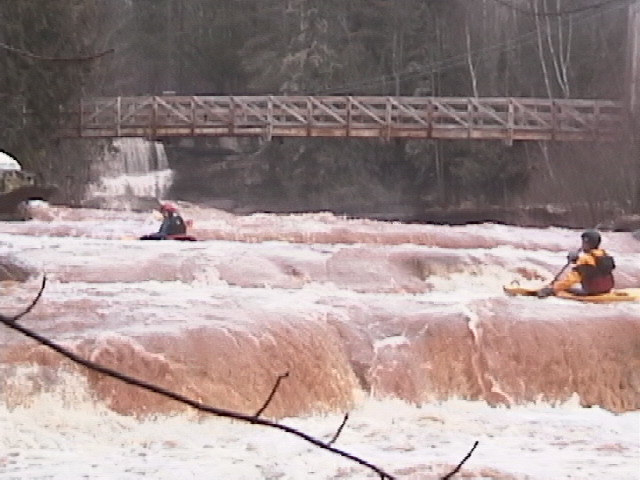
There are a number of class II and III rapids on the way to "Cyclops". The river splits around a rocky island and gradient increases. As you head near the end of the main island, the river drops about 12' in a short, steep slide on each side of the island. Good gradient (class II) continues downstream.
Location
Other Rapids on This Run (11)
 Rapid
N/A
Rapid
N/A
Access paddle
 Rapid
N/A
Rapid
N/A
Put In
 Rapid
N/A
Rapid
N/A
Take Out
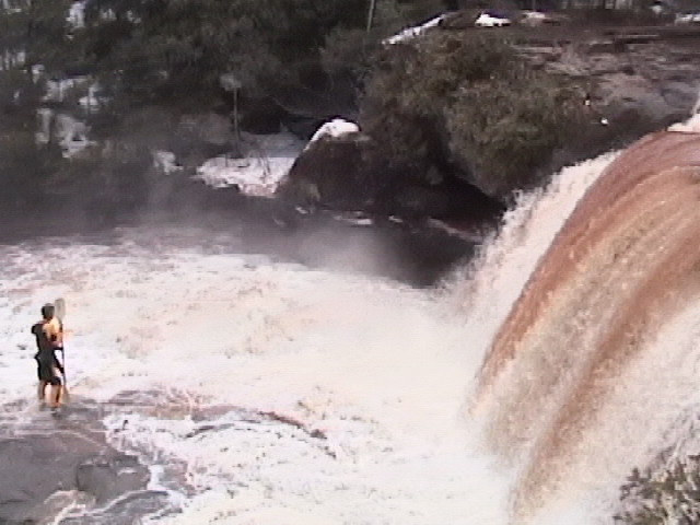
 Waterfall
III+
Waterfall
III+
Creamy Peanut Butter Falls
 Waterfall
IV
Waterfall
IV
O Kun De Kun Falls
 Rapid
II+
Rapid
II+
Let Us Pray
 Rapid
IV+
Rapid
IV+
Mass Has Ended
 Rapid
II+
Rapid
II+
Go In Peace
 Rapid
N/A
Rapid
N/A
Possible egress?
 Rapid
N/A
Rapid
N/A
Confluence with M.Br.Ontonagon
Rapid
N/A
Confluence of M.Br+E.Br.Ontonagon
View Full Run
Hwy.45 to M Br Ontonagon to Hwy.45 (5.9 + 3.3 miles)
Baltimore
III-IV+
8.5 mi
Current Conditions
5-Day Forecast
Whitewater data from
American Whitewater
American Whitewater