Take-out
MI
Take Out
Save this feature with the run it belongs to.
Gauge Conditions
Runnable: ? – ? CFS
Approximate - nearest available gauge. Use as general reference only.
Data from American Whitewater & USGS
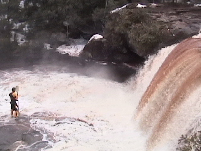
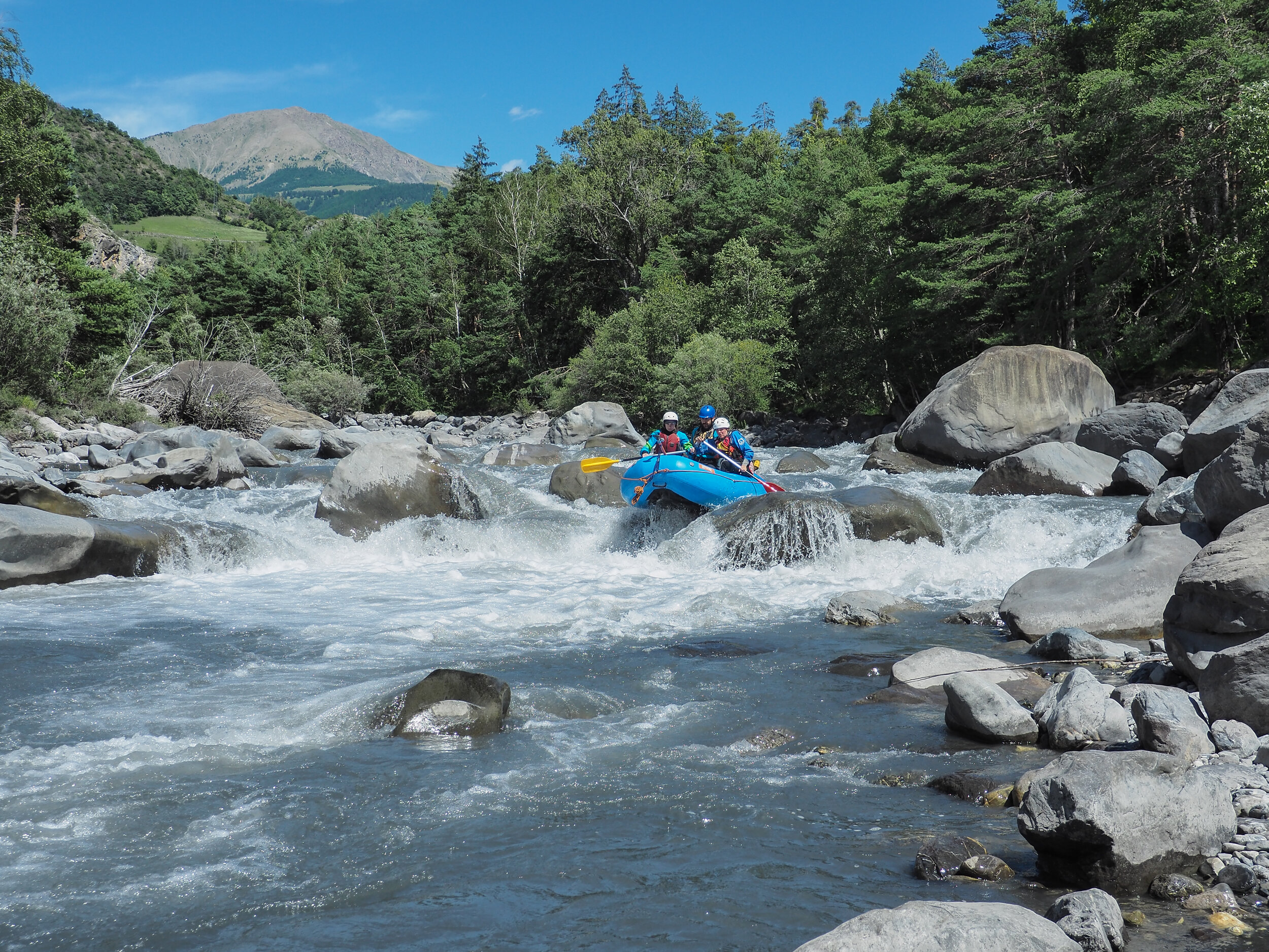
Photo
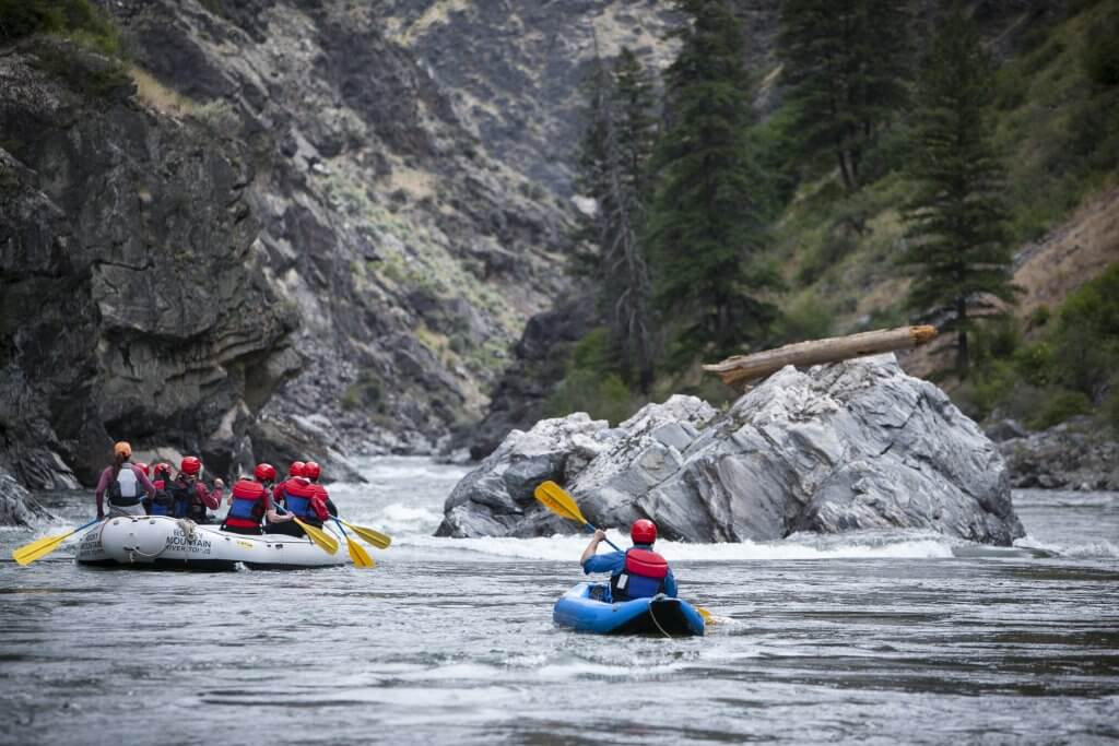
Photo courtesy of American Whitewater
Description
Take Out rapid on Michigan's Baltimore River presents minimal technical challenges, with straightforward water flow and few notable obstacles. Paddlers should be aware of potential shallow sections and scattered mid-stream rocks that could impact navigation during lower water levels. While not classified with a specific difficulty rating, standard river reading and maneuvering skills are recommended for safe passage.
Location
Interactive river map
Loads as you approach this section.
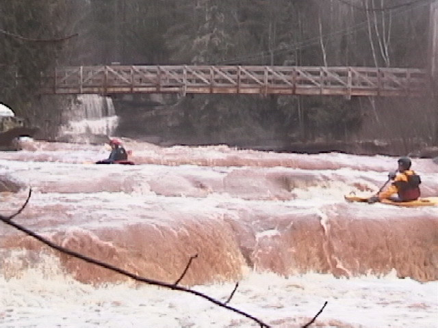
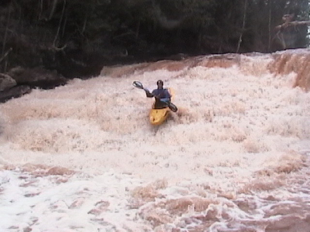
Other Rapids on This Run (11)
 Rapid
N/A
Rapid
N/A
Put In
 Rapid
N/A
Rapid
N/A
Access paddle
 Waterfall
III+
Waterfall
III+
Creamy Peanut Butter Falls
 Waterfall
IV
Waterfall
IV
O Kun De Kun Falls
 Rapid
II+
Rapid
II+
Let Us Pray
 Waterfall
III+
Waterfall
III+
Cyclops
 Rapid
IV+
Rapid
IV+
Mass Has Ended
 Rapid
II+
Rapid
II+
Go In Peace
 Rapid
N/A
Rapid
N/A
Possible egress?
 Rapid
N/A
Rapid
N/A
Confluence with M.Br.Ontonagon
Rapid
N/A
Confluence of M.Br+E.Br.Ontonagon
View Full Run
Hwy.45 to M Br Ontonagon to Hwy.45 (5.9 + 3.3 miles)
Baltimore
III-IV+
8.5 mi
Current Conditions
5-Day Forecast
Whitewater data from
American Whitewater
American Whitewater