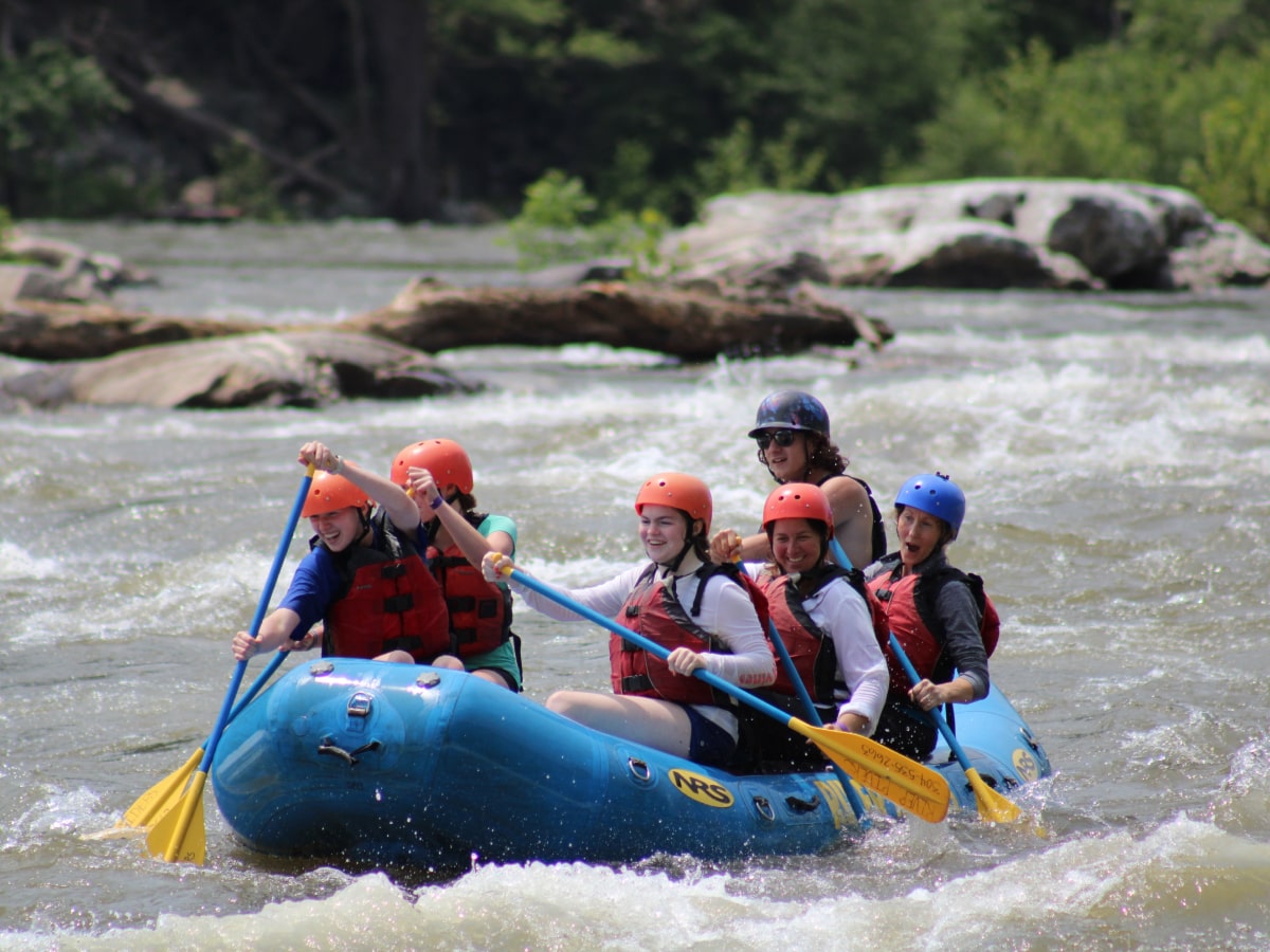
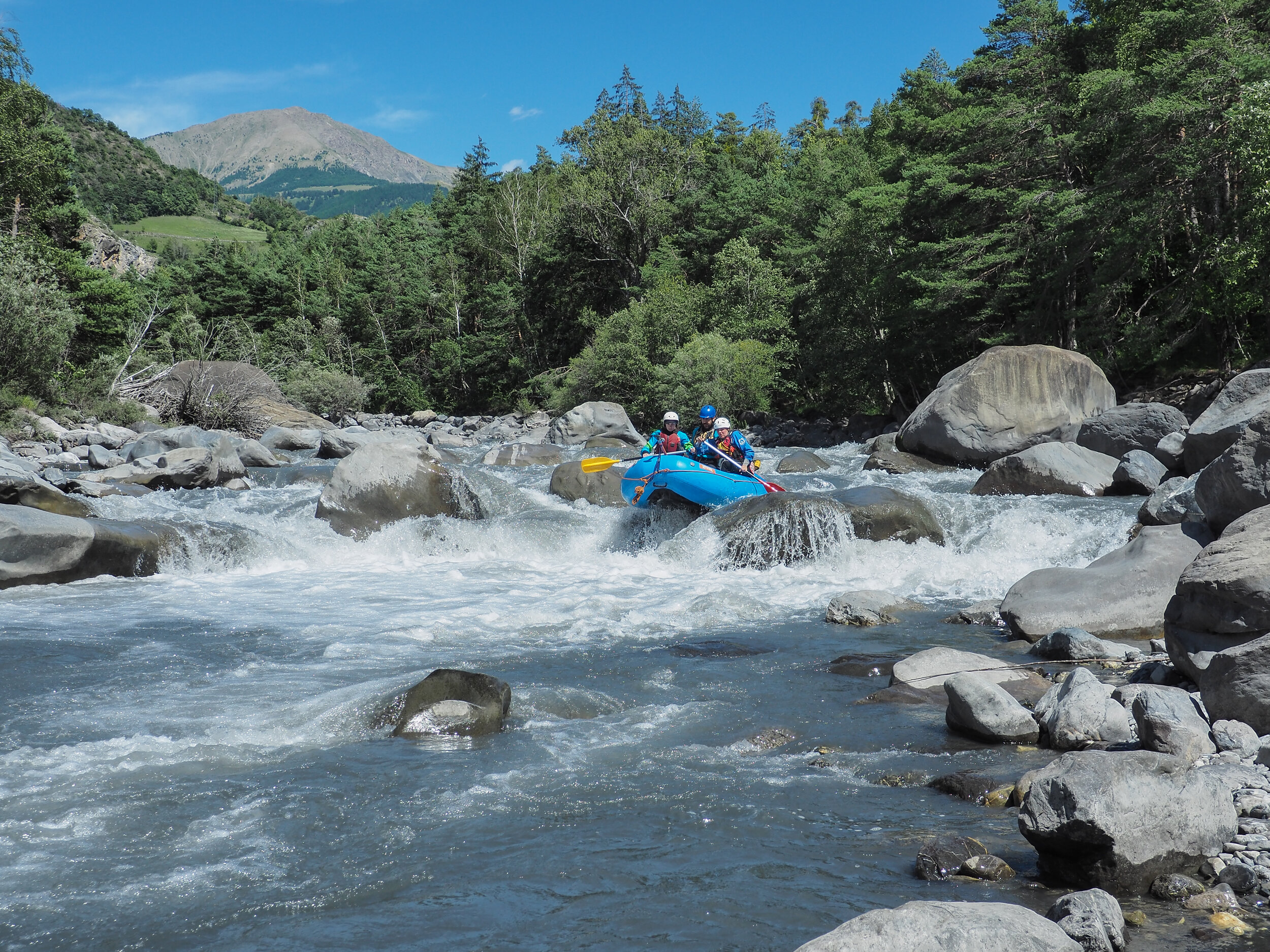
Access paddle
Save this feature with the run it belongs to.
Gauge Conditions
Approximate - nearest available gauge. Use as general reference only.
Photo
Description
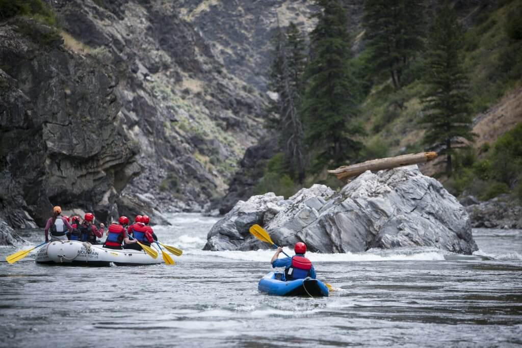
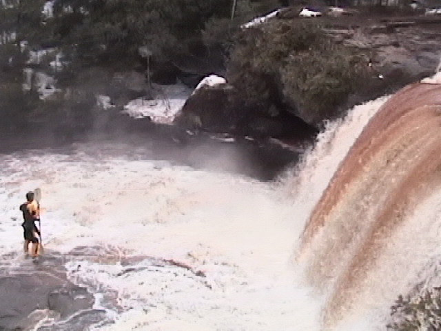
You'll have a nearly 2.5 mile access paddle before the first real drop. There may be a few areas of minor swifts (riffles and rips), but mostly this will be flatwater. And . . . if you are curious what might exist upstream of our listed put-in . . . miles and miles of pretty much the same -- flatwater, riffles, and riffs, maybe a few very brief low-grade rapids (mostly just waves), and likely many many portages (or deadfall-dodging-and-ducking). There is evidence this may be canoed, but it is hard to recommend as a whitewater trip. And the same may be said of various tributaries.
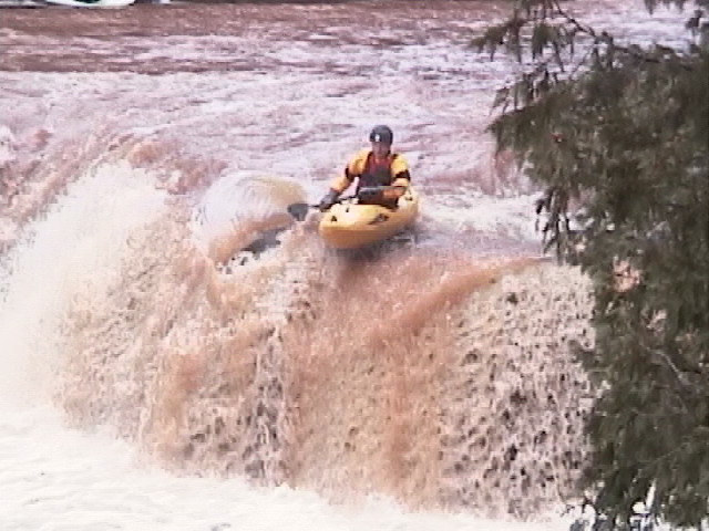
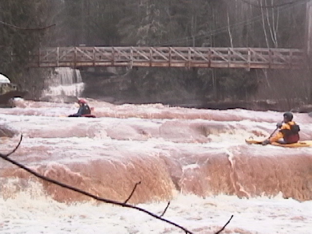
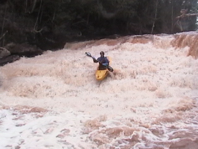
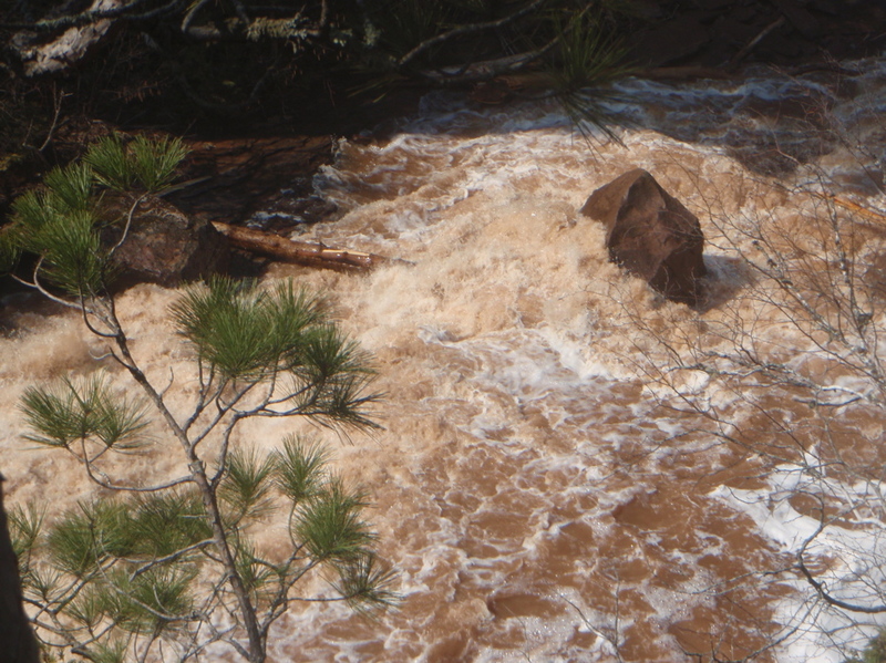
You will also no doubt notice (most occasions this is boatable) that the water is very muddy/silty. This is due to (1) considerable logging upstream, and (2) mostly loose soils, not the rocky stuff of, say, rivers around L'Anse area.
Location
Other Rapids on This Run (11)
 Rapid
N/A
Rapid
N/A
 Rapid
N/A
Rapid
N/A
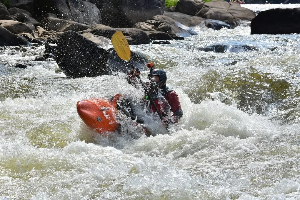
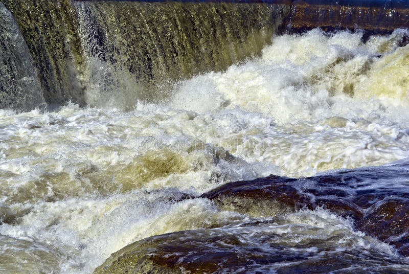
 Waterfall
III+
Waterfall
III+
 Waterfall
IV
Waterfall
IV
 Rapid
II+
Rapid
II+
 Waterfall
III+
Waterfall
III+
 Rapid
IV+
Rapid
IV+
 Rapid
II+
Rapid
II+
 Rapid
N/A
Rapid
N/A
 Rapid
N/A
Rapid
N/A
Current Conditions
5-Day Forecast
American Whitewater