rail grade off AAA Rd to Skanee Rd (6.2 miles)
Gauge Conditions
Runnable: ? – ? CFS
Approximate reading: This gauge is 8.8 miles away on Huron. Use as a general reference only.
Data from American Whitewater & USGS
Run Map
Interactive run map
Loads as you approach this section.
Run Time Estimate
Select put-in and take-out to estimate time.
Plan This Trip
See wind-adjusted speed maps, forecast planning, and detailed time estimates.
Sign in to generate an AI timing estimate for this run.
Whitewater timing varies with scouting, portages, and group pace. Use as a planning baseline.
Description
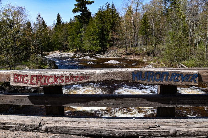
Put-in is reached (from L'Anse, MI) by heading out on Skanee Road, which becomes Erick Road just before Big Erics Bridge. Continuing 4.5 miles East-South-East of that bridge, Erick Road veers more Easterly and becomes Northwestern Road (eventually becoming Triple-A or AAA Road). It will likely be necessary to park on a stub at this bend and carry/drag South, then West down an abandoned railroad grade (a total of nearly a mile) to get to the river. (Note: Looking on aerial views you may see various logging roads which look like they might provide other access. While some of them may work for later spring or random summer rain events which may bring this to runnable conditions, they will not be passable with road vehicles in early or mid spring when most runs are done on this river.)
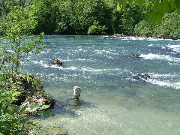
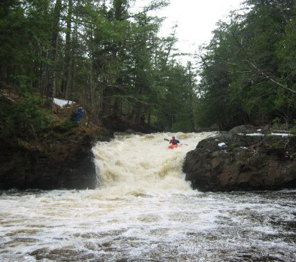
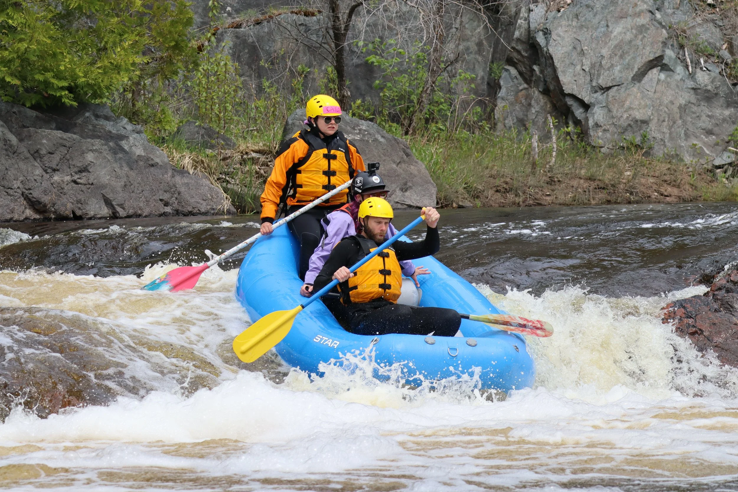
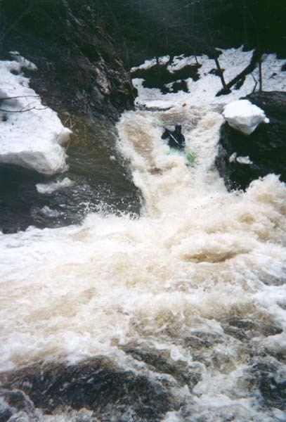
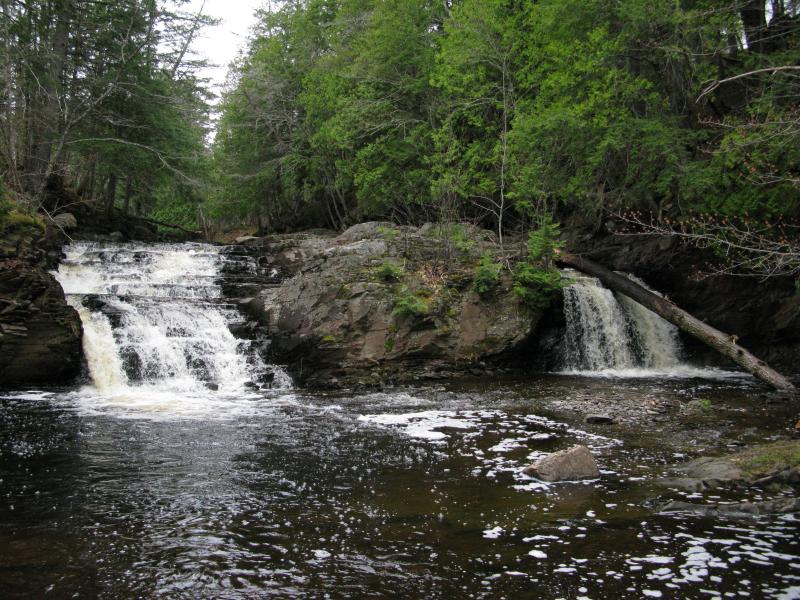
Two big drops (Big Falls and East Branch Falls) and a number of deceptively powerful smaller ones punctuate this scenic gem.
Rapids in this Run (16)
 Rapid
Rapid
Ledges
 Rapid
Rapid
Increased Action
 Rapid
Rapid
Ledge/Falls
 Rapid
Rapid
Ledge/Falls
 Rapid
Rapid
Ledge/Falls
 Rapid
Rapid
Ledge Falls Sequence
 Rapid
Rapid
Ledge Combo
 Rapid
Rapid
Residence/buildings Ledge Sequence
 Rapid
Rapid
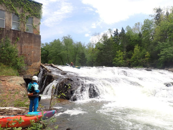
Big Falls
 Rapid
Rapid
Next Ledge/drop sequence
 Rapid
Rapid
Major Action
 Rapid
Rapid
Warning!
 Rapid
Rapid
U-Turn
 Rapid
Rapid
USGS sampling site
 Rapid
Rapid
Road Nears
 Rapid
Rapid
Erick Road Bridge
Waterfalls (1)
Difficulty
Class II-IV+
Length
5.5 mi
Gradient
71 ft/mi
max 130
Rapids
16
Access Points
Shuttle Info
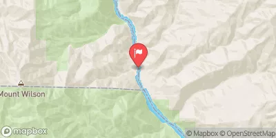
The following map shows the shuttle near to the put-in. Keep in mind, it will be necessary to hike in the final stretch to the river, using the old railroad right-of-way.
1\. Head north toward Northwestern Rd, 0.2 mi
2\. Continue straight onto Erick, 4.0 mi
3\. Turn left to stay on Erick, 466 ft
4\. Park, and hike in on old railroad right-of-way.
[View Larger Map](http://maps.google.com/maps?f=d&source=embed&saddr=Unknown+road&daddr=46.864299,-88.0831&hl=en&geocode=FfNhygIdCovA-g%3B&mra=dme&mrcr=0&mrsp=1&sz=15&sll=46.86383,-88.084774&sspn=0.017694,0.033689&gl=us&ie=UTF8&ll=46.86383,-88.084774&spn=0.017694,0.033689)
Difficulty Classes
I Easy
II Novice
III Intermediate
IV Advanced
V Expert/Extreme
VI Unrunnable
Current Conditions
5-Day Forecast
Whitewater data from
American Whitewater
American Whitewater