Rapid
MI
Increased Action
Save this feature with the run it belongs to.
Gauge Conditions
Runnable: ? – ? CFS
Approximate - nearest available gauge. Use as general reference only.
Data from American Whitewater & USGS
Photo

Photo courtesy of American Whitewater
Description
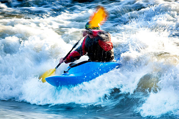
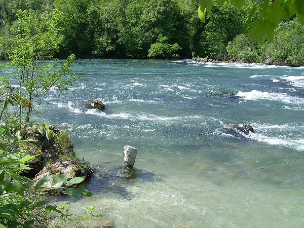
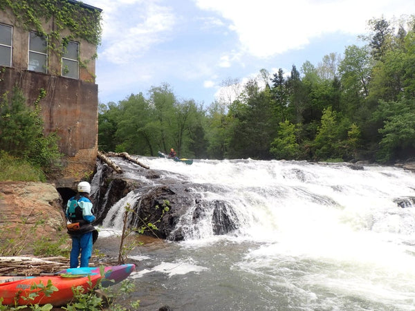
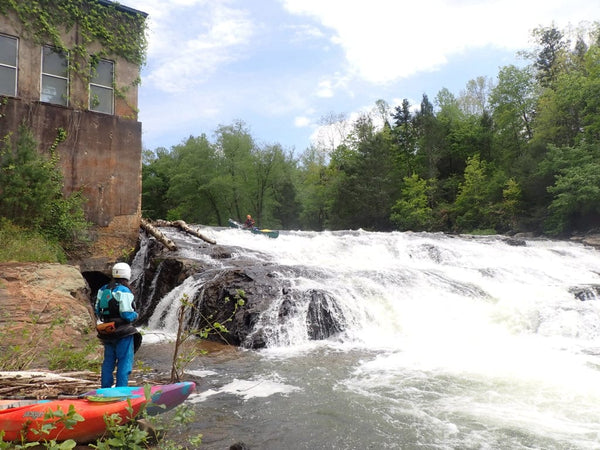
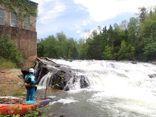
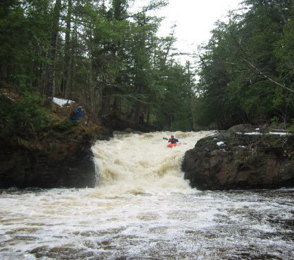
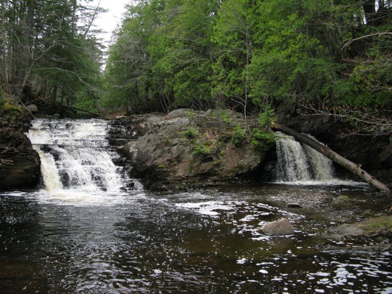
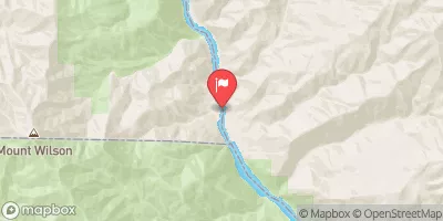
After a short spell of generally straight going, the river takes a sharp hook to the left, and encounters some increased gradient and a fine series of ledges and falls.
Location
Interactive river map
Loads as you approach this section.
Other Rapids on This Run (18)
 Rapid
N/A
Rapid
N/A
Put In
 Rapid
N/A
Rapid
N/A
Ledges
 Rapid
N/A
Rapid
N/A
Ledge/Falls
 Rapid
N/A
Rapid
N/A
Ledge/Falls
 Rapid
N/A
Rapid
N/A
Ledge/Falls
 Rapid
N/A
Rapid
N/A
Ledge Falls Sequence
 Rapid
N/A
Rapid
N/A
Ledge Combo
 Rapid
N/A
Rapid
N/A
Residence/buildings Ledge Sequence
 Rapid
N/A
Rapid
N/A
Big Falls
 Rapid
N/A
Rapid
N/A
Next Ledge/drop sequence
 Rapid
N/A
Rapid
N/A
Major Action
 Rapid
N/A
Rapid
N/A
Warning!
 Rapid
N/A
Rapid
N/A
U-Turn
 Waterfall
N/A
Waterfall
N/A
East Branch Falls
 Rapid
N/A
Rapid
N/A
USGS sampling site
 Rapid
N/A
Rapid
N/A
Road Nears
 Rapid
N/A
Rapid
N/A
Take Out
 Rapid
N/A
Rapid
N/A
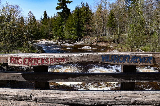
Erick Road Bridge
View Full Run
rail grade off AAA Rd to Skanee Rd (6.2 miles)
Huron, E.Br.
II-IV+
5.5 mi
Current Conditions
5-Day Forecast
Whitewater data from
American Whitewater
American Whitewater