S. CR 60 E to S. CR60 SW (4.2 miles)
Gauge Conditions
Runnable: ? – ? CFS
Approximate reading: This gauge is 12.2 miles away on Cobbs Fork (of Sand Creek). Use as a general reference only.
Data from American Whitewater & USGS
Run Map
Run Time Estimate
Select put-in and take-out to estimate time.
Plan This Trip
See wind-adjusted speed maps, forecast planning, and detailed time estimates.
Sign in to generate an AI timing estimate for this run.
Whitewater timing varies with scouting, portages, and group pace. Use as a planning baseline.
Description
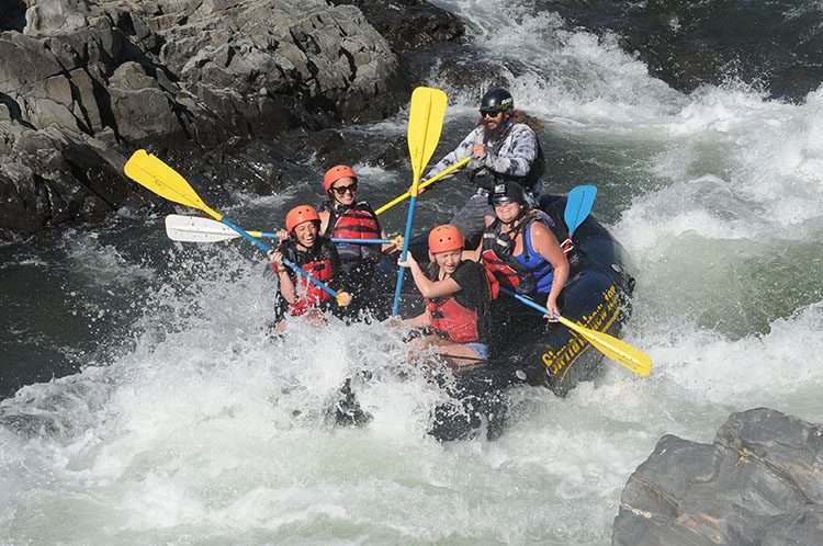
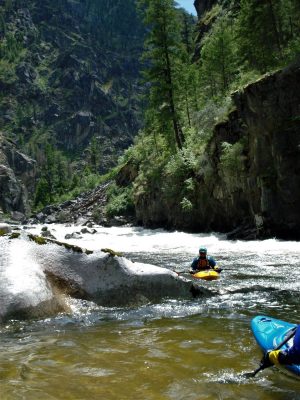
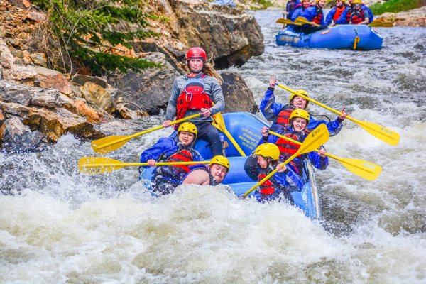
With only ~18 square miles drainage at our listed put-in, this is fairly small creek which will take significant snowmelt or rain to bring it to runnable. Satellite views of this section are often obscured by trees, which suggests wood (hangers, sweepers, deadfall, and snags) is likely to be a very common problem. Very cautious and alert boating will be necessary to keep from broaches and pins, especially if you catch it at higher flows.
Rapids in this Run (4)
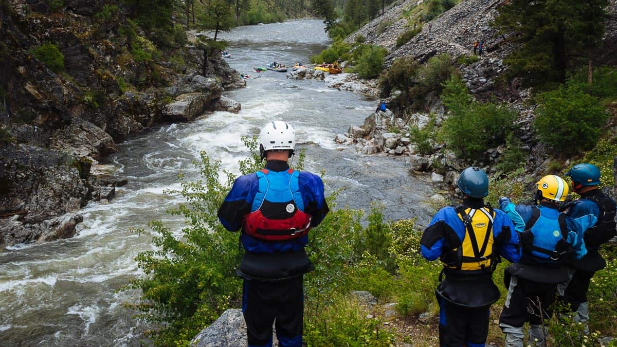
Hazards & Portages (1)
Caution: The following locations may require scouting or portaging. Always check current conditions.
Difficulty
Class I-II(III)
Length
4.3 mi
Gradient
25 ft/mi
max 35
Rapids
4
1 Hazard
Access Points
Difficulty Classes
I Easy
II Novice
III Intermediate
IV Advanced
V Expert/Extreme
VI Unrunnable
Current Conditions
5-Day Forecast
Whitewater data from
American Whitewater
American Whitewater