Rapid
IN
Confluence: Fall Branch
Save this feature with the run it belongs to.
Gauge Conditions
Runnable: ? – ? CFS
Approximate - nearest available gauge. Use as general reference only.
Data from American Whitewater & USGS
Photo
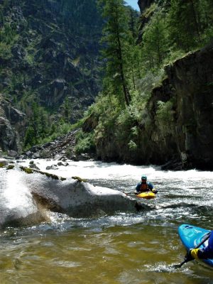
Photo courtesy of American Whitewater
Description
Drainage area after this confluence is ~26.4 square miles.
Location


View Full Run
S. CR 60 E to S. CR60 SW (4.2 miles)
Cobbs Fork (of Sand Creek)
I-II(III)
4.3 mi
Current Conditions
5-Day Forecast
Whitewater data from
American Whitewater
American Whitewater