Take-out
IN
Take Out
Save this feature with the run it belongs to.
Gauge Conditions
Runnable: ? – ? CFS
Approximate - nearest available gauge. Use as general reference only.
Data from American Whitewater & USGS
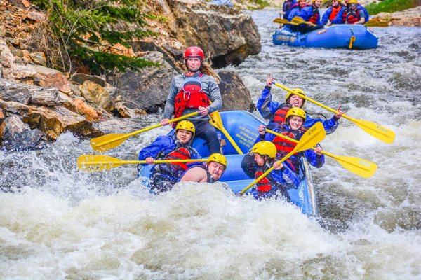
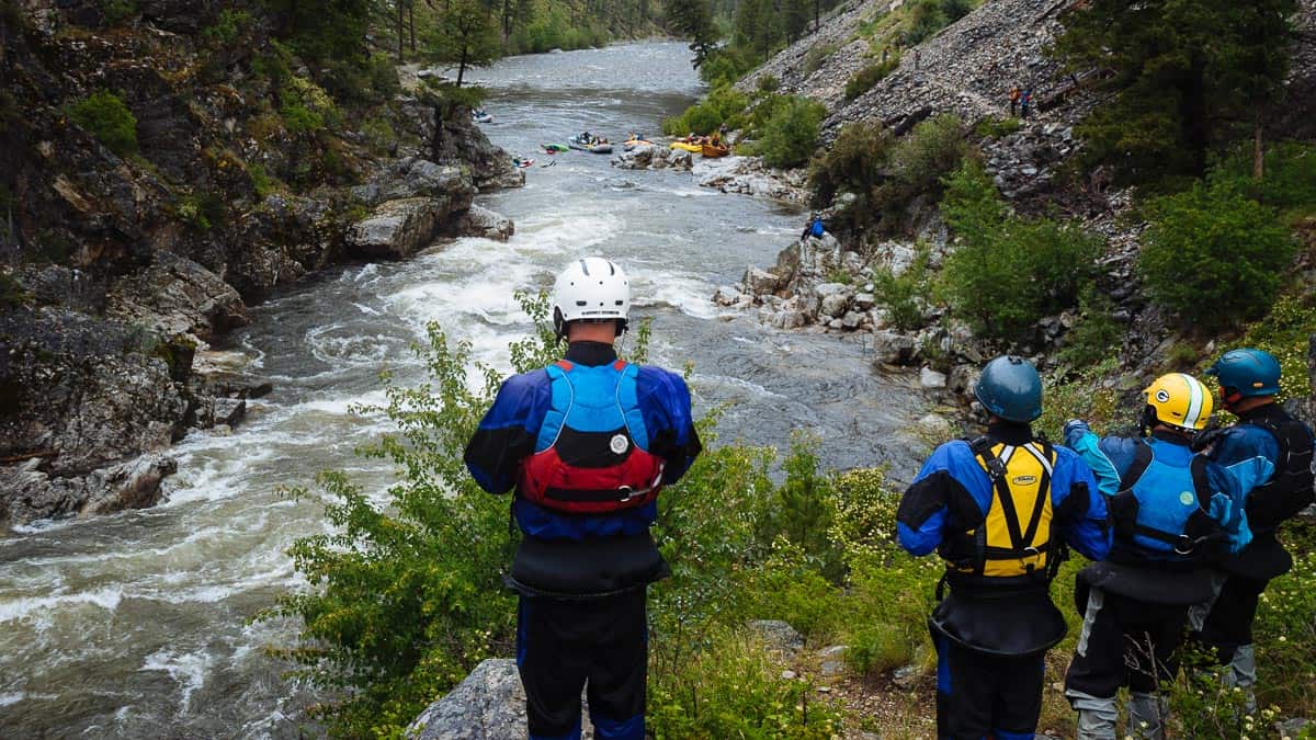
Photo
Photo courtesy of American Whitewater
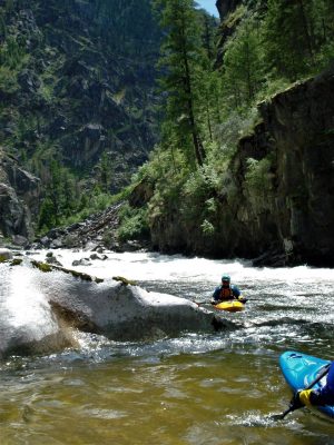
Description
Take Out rapid marks the end of this section of Cobbs Fork, serving as a critical transition point for paddlers completing the run. While specific details are limited due to the N/A difficulty rating, paddlers should be prepared for potential debris, potential shallow water, and the need for careful boat positioning as they approach the takeout point near S. CR 60 SW.
Location
View Full Run
S. CR 60 E to S. CR60 SW (4.2 miles)
Cobbs Fork (of Sand Creek)
I-II(III)
4.3 mi
Current Conditions
5-Day Forecast
Whitewater data from
American Whitewater
American Whitewater