Hazard
IN
S.CR100W
Save this feature with the run it belongs to.
Gauge Conditions
Runnable: ? – ? CFS
Approximate - nearest available gauge. Use as general reference only.
Data from American Whitewater & USGS
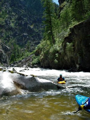
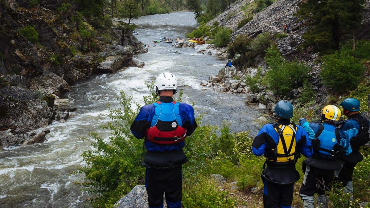
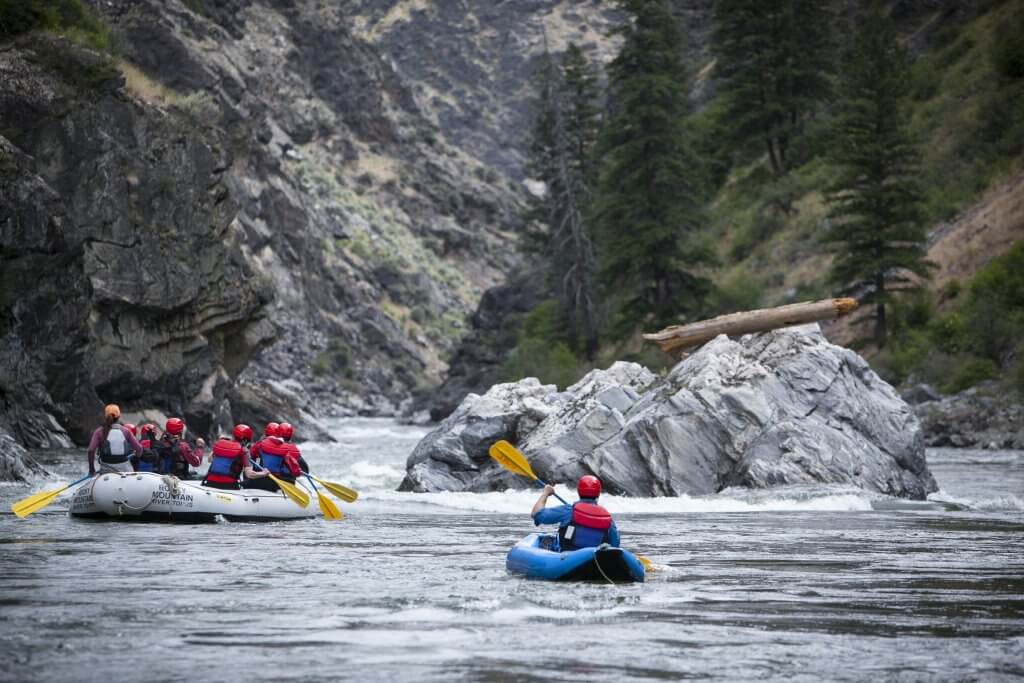
Photo
Photo courtesy of American Whitewater
Description
This road dead-ends at the river. Satellite views appear to show a defunct bridge (or ford/crossing?) at this point, which could mean some caution on approaching should be taken, in case it poses a hazard to navigation (low clearance, water disturbance, or dead-wood accumulation).
Location
View Full Run
S. CR 60 E to S. CR60 SW (4.2 miles)
Cobbs Fork (of Sand Creek)
I-II(III)
4.3 mi
Hazard — Exercise extreme caution in this area.
Current Conditions
5-Day Forecast
Whitewater data from
American Whitewater
American Whitewater