Unnamed road to Niemi Road/Co.Hwy.102 (8.86 miles) Scenic
Gauge Conditions
Runnable: ? – ? CFS
Approximate reading: This gauge is 13.1 miles away on Whitefish. Use as a general reference only.
Data from American Whitewater & USGS
Run Map
Put-in
Take-out
Rapids/Hazards
Scenic
Run Time Estimate
Select put-in and take-out to estimate time.
Plan This Trip
See wind-adjusted speed maps, forecast planning, and detailed time estimates.
Sign in to generate an AI timing estimate for this run.
Whitewater timing varies with scouting, portages, and group pace. Use as a planning baseline.
Description
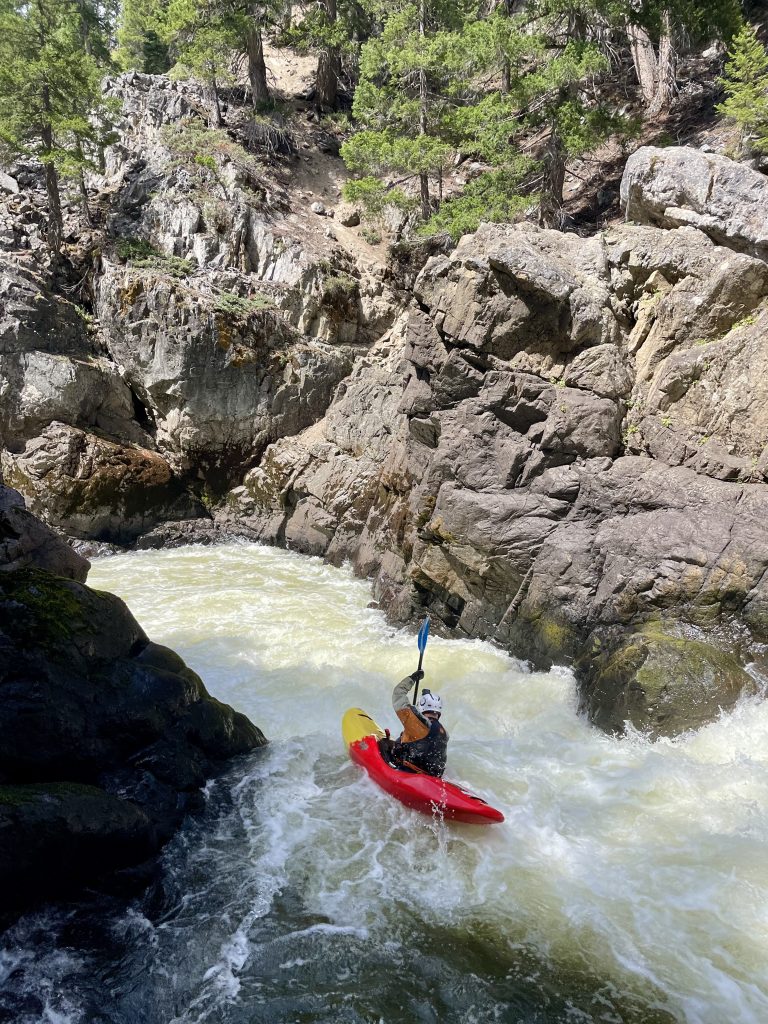
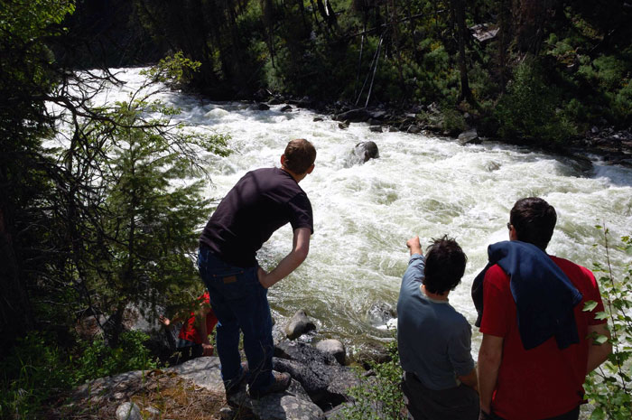
The highlight of this run is Whitefish Falls, which is not really a falls but a fine stretch of bedrock ledge/drop rapids.
Boaters looking specifically for whitewater will prefer to do this (approximately) quarter-mile stretch as a park-and-play, since there is good access to it.
The listed take-out is on private property. Permission would need be sought to leave a vehicle and take-out here. Absent that, either use access points further upstream or further downstream.
Rapids in this Run (14)
Rapid
II
Small ledge
Rapid
Johnson Road
 Rapid
II
Rapid
II
Second small ledge
Rapid
II
Third and Fourth small ledges
Rapid
I
Wave/Chute
Rapid
I
Head of better gradient
Rapid
Whitefish Falls, Upper ledge
Rapid
Island
 Rapid
Rapid
Diffin Road
Rapid
Power lines
Rapid
Saari Road
Rapid
I
Confluence, Werners Creek
Rapid
Confluence, Scott Creek
Rapid
USGS sampling site
Playspots (1)
Hazards & Portages (1)
Caution: The following locations may require scouting or portaging. Always check current conditions.
Difficulty
Class I-II(III)
Length
8.6 mi
Gradient
20 ft/mi
max 40
Rapids
14
1 Hazard
Access Points
Shuttle Info
Access at listed put-in is uncertain. Alternate access points do exist, allowing shorter or longer trips. Some boaters may just wish to do a park-and-play at Whitefish Falls (a quarter-mile of bedrock ledge/drop rapids), thus foregoing any shuttle.
Difficulty Classes
I Easy
II Novice
III Intermediate
IV Advanced
V Expert/Extreme
VI Unrunnable
Current Conditions
5-Day Forecast
Whitewater data from
American Whitewater
American Whitewater