Rapid
MI
Diffin Road
Save this feature with the run it belongs to.
Gauge Conditions
Runnable: ? – ? CFS
Approximate - nearest available gauge. Use as general reference only.
Data from American Whitewater & USGS
Photo
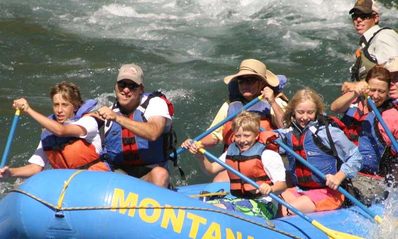
Photo courtesy of American Whitewater
Description
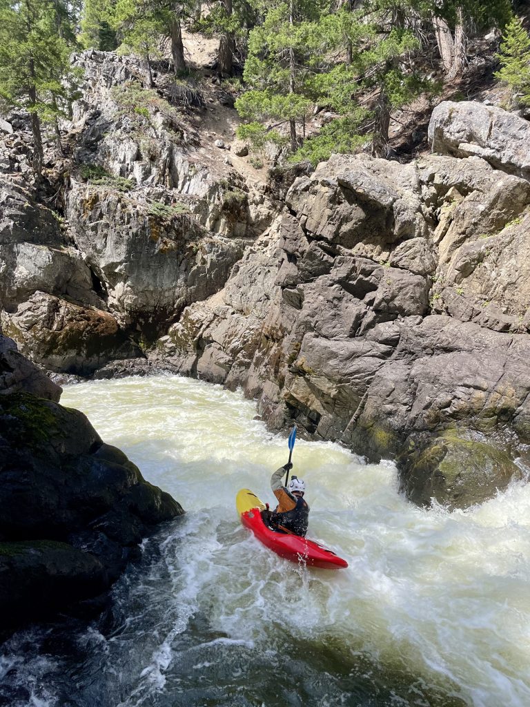
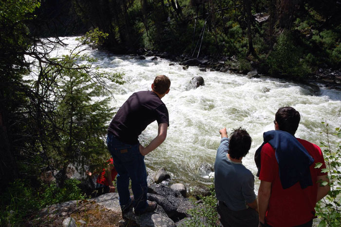
Diffin Road rapid presents a challenging stretch with potential obstacles and technical maneuvering through a narrow channel. Paddlers should be prepared for potential submerged rocks and shifting water dynamics that require precise navigation and quick decision-making. Local knowledge and scouting are recommended due to limited available information about the specific characteristics of this section.
Location
Interactive river map
Loads as you approach this section.
Other Rapids on This Run (17)
 Rapid
N/A
Rapid
N/A
Put In
Rapid
II
Small ledge
Rapid
N/A
Johnson Road
 Rapid
II
Rapid
II
Second small ledge
Rapid
II
Third and Fourth small ledges
Rapid
I
Wave/Chute
Rapid
I
Head of better gradient
Rapid
N/A
Whitefish Falls, Upper ledge
 Playspot
II+
Playspot
II+
Whitefish Falls
Rapid
N/A
Island
Rapid
N/A
Power lines
Rapid
N/A
Saari Road
Rapid
I
Confluence, Werners Creek
Rapid
N/A
Confluence, Scott Creek
 Hazard
N/A
Hazard
N/A
Dam
 Rapid
N/A
Rapid
N/A
Take Out
Rapid
N/A
USGS sampling site
View Full Run
Unnamed road to Niemi Road/Co.Hwy.102 (8.86 miles)
Whitefish, W.Br.
I-II(III)
8.6 mi
Current Conditions
5-Day Forecast
Whitewater data from
American Whitewater
American Whitewater