Worm Lake outlet to Sturgeon River (9.1 miles)
Gauge Conditions
Runnable: 500.0 – 2,000.0 CFS
Likely too low. (~0-125 cfs)
Data from American Whitewater & USGS
Run Map
Run Time Estimate
Select put-in and take-out to estimate time.
Plan This Trip
See wind-adjusted speed maps, forecast planning, and detailed time estimates.
Sign in to generate an AI timing estimate for this run.
Whitewater timing varies with scouting, portages, and group pace. Use as a planning baseline.
Description
Put-in: Old Michigan Hwy.28.: 46.55199 -88.47518
Alt.Put-in: US141/M28: 46.57329 -88.49423
Take-out: Plains Road: 46.58407 -88.57554
Drainage (at Alt.put-in): 40.3 Sq.Mi.
Overall Gradient: ~60 FPM
Full-Mile Maximum Gradient: ~71 FPM
Note: Run includes 3.4 mile paddle out (with no rapids and little gradient) on Sturgeon.
Warning: Early season runs may find the Rock completely ice-free, but find portions of the Sturgeon iced shore-to-shore! Be prepared to 'knuckle-walk' or portage 1/4-1/2 mile stretches.
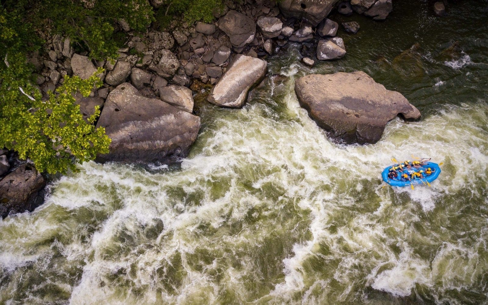
The Rock River has far more continuous rapids than is typical in the Midwest! Do not take lightly the II-III rating! At low-to-moderate flows, the difficulty will generally be on par with any class II-III run in the Midwest. However, paddlers should be _strong, confident, intermediate_ paddlers, with an experienced group (solid rolling skills, practiced in river safety and rescue techniques) before attempting this run at _moderate to high_ levels. At such levels, most paddlers will be left with the impression of the bulk of this run being _essentially one long rapid_, quite different from the usual pool/drop runs of the Midwest!
===================================================
From the recommended put-in, a brief flatwater paddle brings you to some light rapids. Shortly you'll encounter a very low footbridge which will be a limbo at low-to-moderate levels, and will require portage at moderate-to-high levels. Soon thereafter the river assumes the character it will hold for much of it's length: essentially one, non-stop rapid. Trees in the current are not uncommon though usually can be paddled around. Be alert! As of April 2001 there was one beaver dam that could be 'snuck' by a paddle through the trees on the left.
While the 2.3 mile section above Hwy.28/141 generally does not exceed class II, it is recommended for it's warm-up value. If you are not completely comfortable with the style of boating you encounter on the upper reach, it may be advisable to abbreviate your trip at the Hwy.28/141 bridge. The pace decidedly picks up a notch downstream.
The river slows down a bit either side of the Hwy.28/141 bridge but soon resumes it's downhill race through the forest. The river is still generally class II, but you start encountering borderline III water the further downstream you proceed. There is a brief respite in a swampy stretch that will warn you that you are soon approaching the most challenging section of the run. The river makes a turn to the left, tripping through waves and holes before turning sharply to the right at a rocky bend, where the action accelerates. This right-hand-bend often holds wood, though we've always been able to remove it to run the drop cleanly.
This drop signals the beginning of the steepest mile of the river. There is a wonderful rollercoaster ride of waves with a few lurking holes. Be on your toes and stay in your boat, as a swim here could take on epic proportions. This is a mile long class III rapid at medium to high flows. When the pace slackens off and the forest opens up, you will come to another low footbridge that signals the confluence with the Sturgeon.
There is a 3.4 mile flatwater egress paddle from here to the Plains Rd bridge on the Sturgeon. (This has been reflected in the length stated on the run name, but is _not_ included in the 'Length' or gradient figures in the description.)
_Given the continuity of the whitewater and the ever-present danger of strainers on this small stream, the subjective difficulty is somewhat higher than the objective. Please exercise caution and discretion when paddling this reach, especially at higher flows._
Boaters looking for an additional challenge may consider finishing this trip by continuing downstream of the listed take-out to run Tibbets Fallson the Sturgeon (assuming the 'short take-out' is accessible).
Click here for Part 1 of an article from the AW Journal, way back in 1981!
Click here for Part 2 of the article.
The article describes the following: Michigan's, Upper Presque Isle, Lower Presque Isle, Middle Black, Lower Black, Upper Silver, Lower Silver, Falls, and Rock; and Wisconsin's Lower Brunsweiler, Montreal Canyon, and West Branch Montreal.
Rapids in this Run (3)
Hazards & Portages (1)
Caution: The following locations may require scouting or portaging. Always check current conditions.
Difficulty
Class II-III+
Length
8.3 mi
Gradient
69 ft/mi
max 145
Rapids
3
1 Hazard
Access Points
Difficulty Classes
I Easy
II Novice
III Intermediate
IV Advanced
V Expert/Extreme
VI Unrunnable
Current Conditions
5-Day Forecast
Whitewater data from
American Whitewater
American Whitewater