Main (largest) drop
Save this feature with the run it belongs to.
Gauge Conditions
Runnable: 500.0 – 2,000.0 CFS
Likely too low. (~0-125 cfs)
Data from American Whitewater & USGS
Description
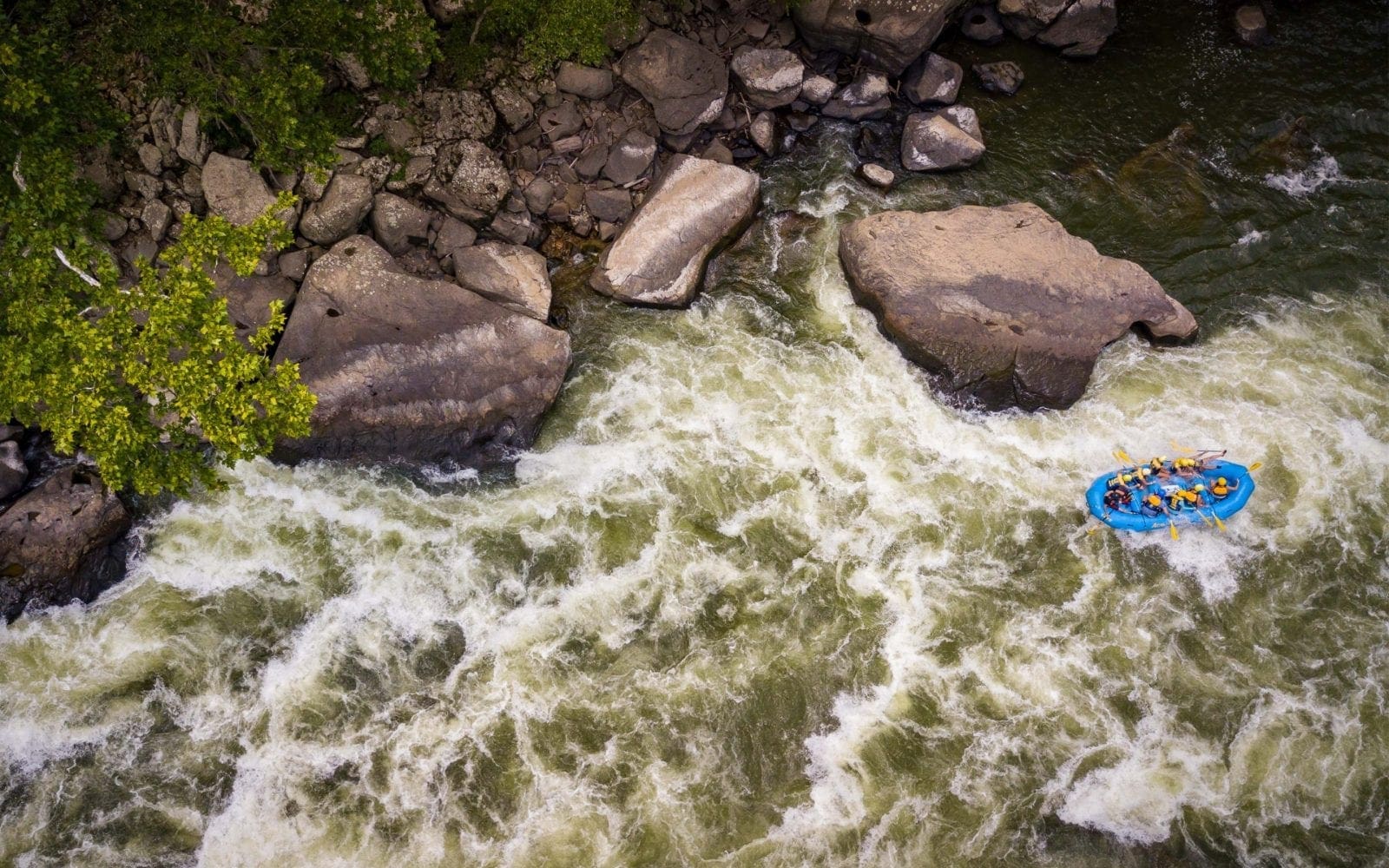
As the river sweeps to the left, it approaches the most significant rapids/sequence. At low-to-moderate flows, this may be boat-scoutable. At higher flows, (and even moderate flows, particularly for less experienced paddlers, or those not well-familiar with this run) scouting is highly recommended. A tight bend partway down is prone to containing wood. Action is very continuous for a good ways downstream. Anyone having problems anywhere on this stretch will be in for a long chase if they end up out of their boat.
Location

View Full Run
Worm Lake outlet to Sturgeon River (9.1 miles)
Rock
II-III+
8.3 mi
Current Conditions
5-Day Forecast
Whitewater data from
American Whitewater
American Whitewater