Zander Road to Hwy.147 (3.5 miles)
Gauge Conditions
Runnable: 200.0 – 2,000.0 CFS
Likely too low for enjoyable whitewater. Lower reach OK as a float trip.
Runnable: 800.0 – 4,000.0 CFS
Likely too low for enjoyable whitewater (Possibly 0-150 cfs in W.Twin). Lower reach OK as a float trip.
Data from American Whitewater & USGS
Run Map
Interactive run map
Loads as you approach this section.
Run Time Estimate
Select put-in and take-out to estimate time.
Plan This Trip
See wind-adjusted speed maps, forecast planning, and detailed time estimates.
Sign in to generate an AI timing estimate for this run.
Whitewater timing varies with scouting, portages, and group pace. Use as a planning baseline.
Description
NOTE regarding gauges: On the gauge page, we reference a pair of gauges, which may often disagree on runnability of this reach!
Ideally, you will want BOTH gauges 'showing green' and rising (or at least holding relatively steady) to 'confirm' runnability.
One gauge 'green' and the other 'yellow/orange' should tell you it's a crapshoot -- it could be too low, or it could be sweet -- you have to decide if you're willing to risk the drive.
Quick Facts:
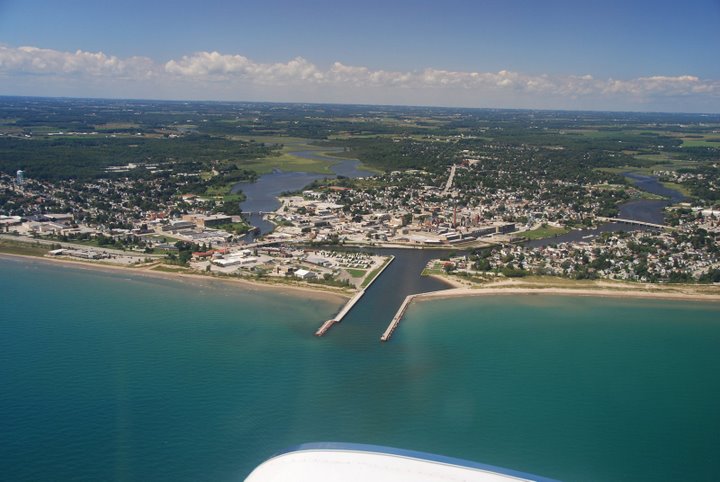
Location: About midway between Manitowoc and Green Bay (~20 miles to each).
Shuttle Length: 4.3 mile
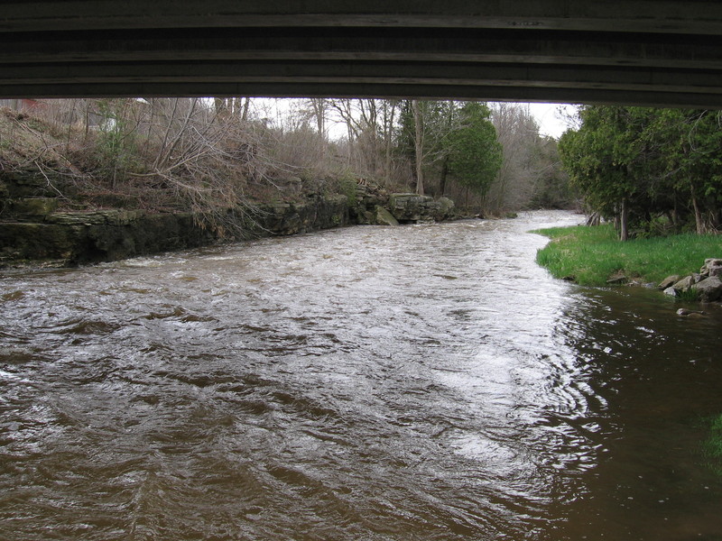
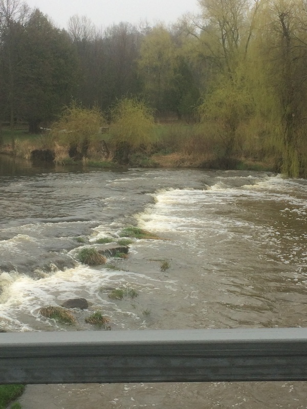
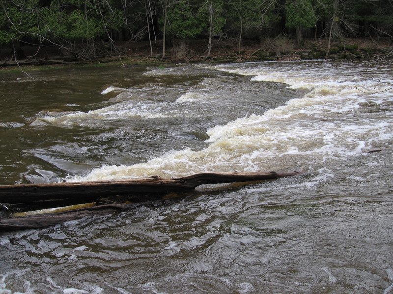
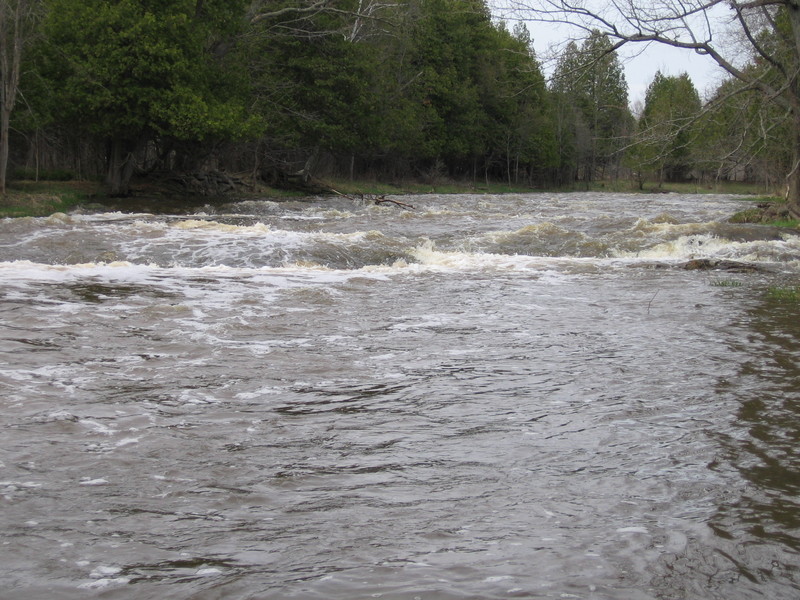
Character: Fine rural trip has a mini-dells early on, and a couple short (6'-1') ledges, and a sweet series of waves/holes where the river slides down sloping bedrock just before the confluence with the Devils River.
Put-in is approximately 674' elevation.
Take-out is approximately 619' elevation.
Thus total elevation change is approximately 55'.
General Overview
A cute, small dells, and short bedrock ledges make a pleasant beginners paddle. This makes a great 'intro to whitewater' run, and is generally well suited for canoes and recreational kayaks. Be aware, however, that if you catch this at high water, the approach to the confluence with the Devil's River will push into class III (or III+) difficulty, and is VERY likely to swamp (capsize) your canoe or kayak. In fact, a couple of the holes will become very 'keepy'! Skirt them and it's a fun run, fail to skirt them and it's an almost certain 'yard sale' for all but the most experienced whitewater boaters!
Note: At the confluence with the Devil's River, the Nashota becomes the *West Twin*, one of the two rivers which give the town of Two Rivers its name. The 'falls' marked on the topo maps on this reach are either non-existant, or so inconsequential as to be of no concern to all but the most inexperienced of boaters.
Also, while there is a 'falls' marked near a road on the *East Twin* (nearby), it appears to be on private property. There is little else apparent on that river in terms of gradient, so I strongly suspect it is a single minor ledge (on the order of a foot or so in height, probably much like the ledge at Nachtwey Road) with little else of whitewater merit on that branch, so I have not floated it.
Alternate take-out is at Maribel Caves County Park. This eliminates about 1.1 miles of mostly flatwater and class I riffles, but requires a strenuous hike out, and is not readily identified from the river. I would highly recommend a visit to the park to hike the trails and find the caves, and drive past the ruins of the Maribel Hotel (a bit north of the park entrance on CTH.R).
Rapids in this Run (4)
Difficulty
Class I-II(III)
Length
3.5 mi
Gradient
15 ft/mi
max 29
Rapids
4
Access Points
Difficulty Classes
I Easy
II Novice
III Intermediate
IV Advanced
V Expert/Extreme
VI Unrunnable
Current Conditions
5-Day Forecast
Whitewater data from
American Whitewater
American Whitewater