Nachtwey Road 'falls'
Save this feature with the run it belongs to.
Gauge Conditions
Runnable: 200.0 – 2,000.0 CFS
Likely too low for enjoyable whitewater. Lower reach OK as a float trip.
Runnable: 800.0 – 4,000.0 CFS
Likely too low for enjoyable whitewater (Possibly 0-150 cfs in W.Twin). Lower reach OK as a float trip.
Data from American Whitewater & USGS
Photo
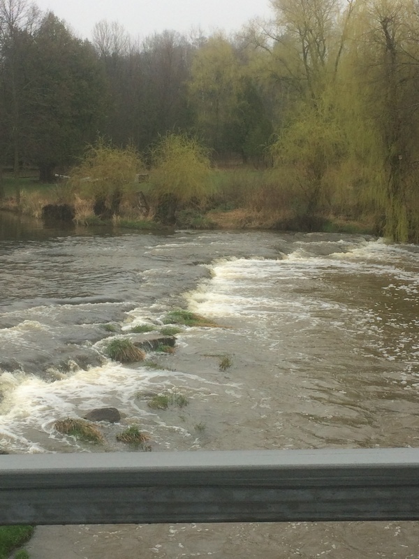
Photo courtesy of American Whitewater
Description
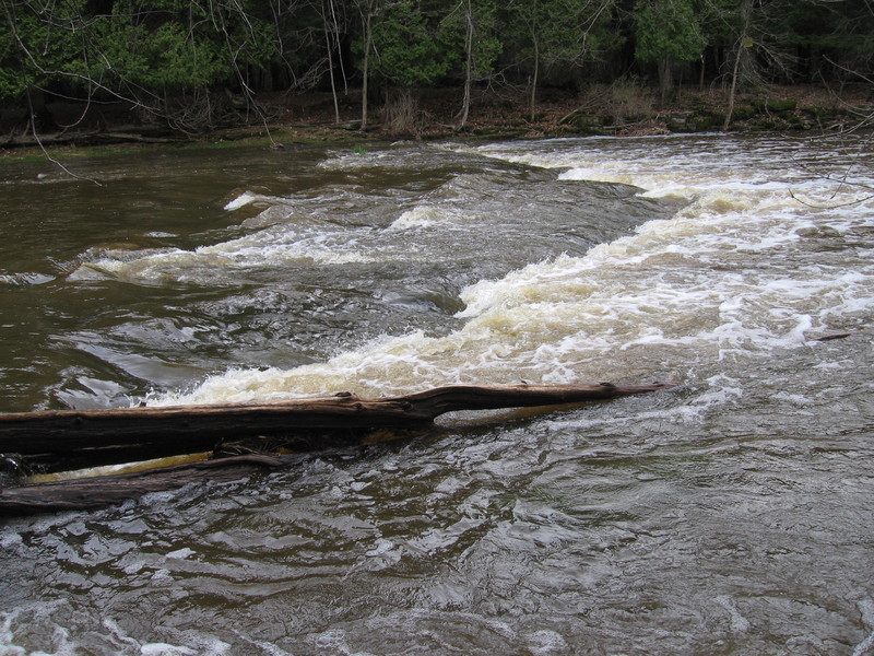
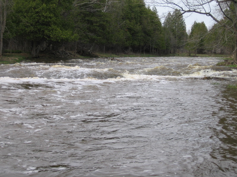
In Southeastern Wisconsin, it does not take much to be labeled a 'falls'. At this location, you will find a 1-2' ledge. At some flows, there may be some minor play possible here, but more likely, it will be little more than a short drop (or minor wave) to excite only those not much experienced in whitewater.
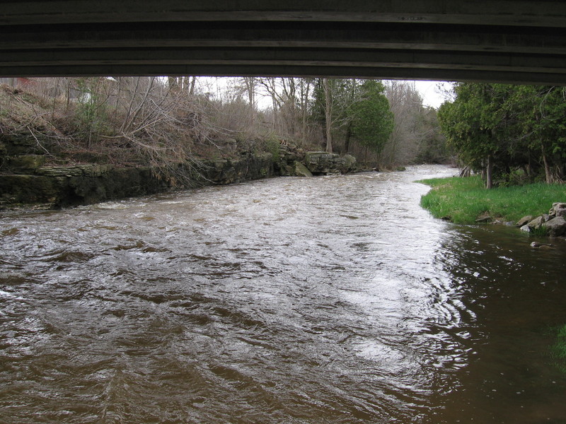
Just downstream of the bridge, a small dells will be encountered. At some flows, minor compression waves may form through here.
Location
Interactive river map
Loads as you approach this section.
View Full Run
Zander Road to Hwy.147 (3.5 miles)
Neshota/West Twin
I-II(III)
3.5 mi
Current Conditions
5-Day Forecast
Whitewater data from
American Whitewater
American Whitewater