Take-out
WI
Take Out
Save this feature with the run it belongs to.
Gauge Conditions
Runnable: 200.0 – 2,000.0 CFS
Likely too low for enjoyable whitewater. Lower reach OK as a float trip.
Runnable: 800.0 – 4,000.0 CFS
Likely too low for enjoyable whitewater (Possibly 0-150 cfs in W.Twin). Lower reach OK as a float trip.
Data from American Whitewater & USGS
Photo
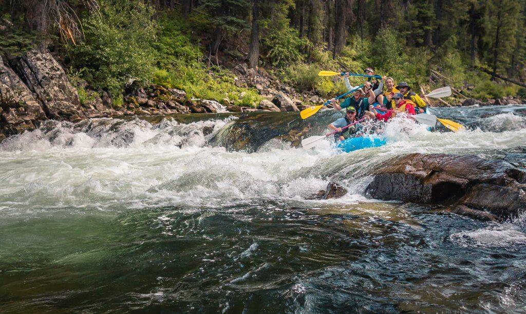
Photo courtesy of American Whitewater
Description
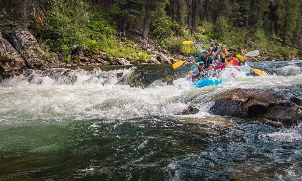
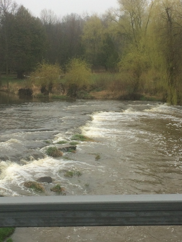
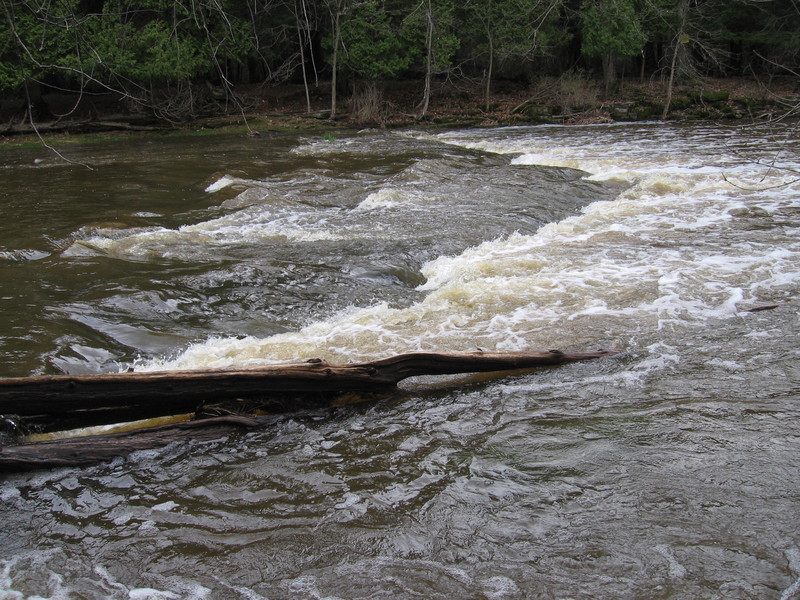
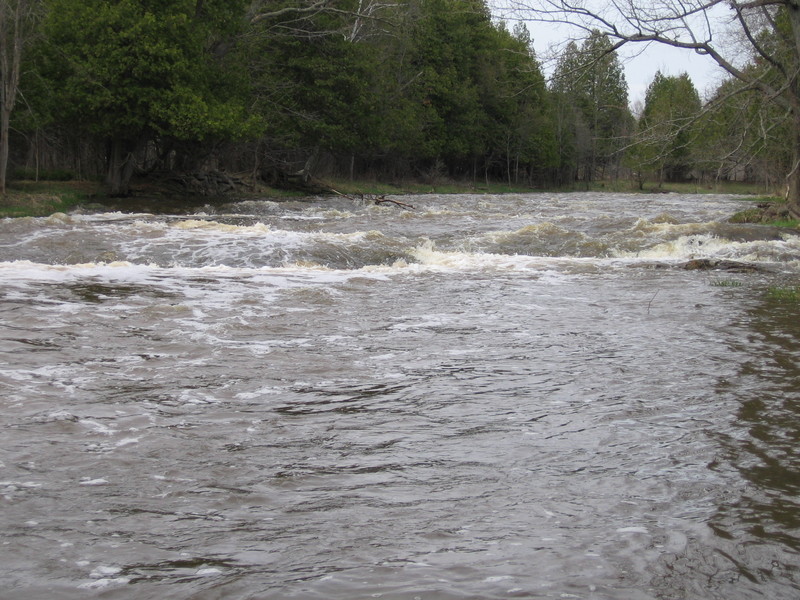
The Take Out rapid marks the end of this Neshota River run, featuring a tight channel with potential for strainers and debris near the takeout point. Paddlers should carefully scout the exit and be prepared for potential shallow sections or unexpected obstacles as they approach the Hwy.147 bridge.
Location
Interactive river map
Loads as you approach this section.
View Full Run
Zander Road to Hwy.147 (3.5 miles)
Neshota/West Twin
I-II(III)
3.5 mi
Current Conditions
5-Day Forecast
Whitewater data from
American Whitewater
American Whitewater