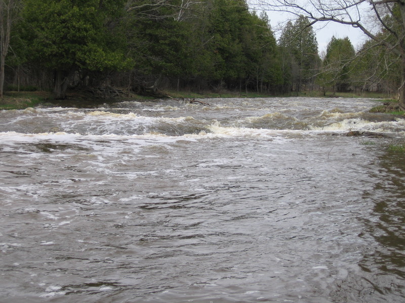
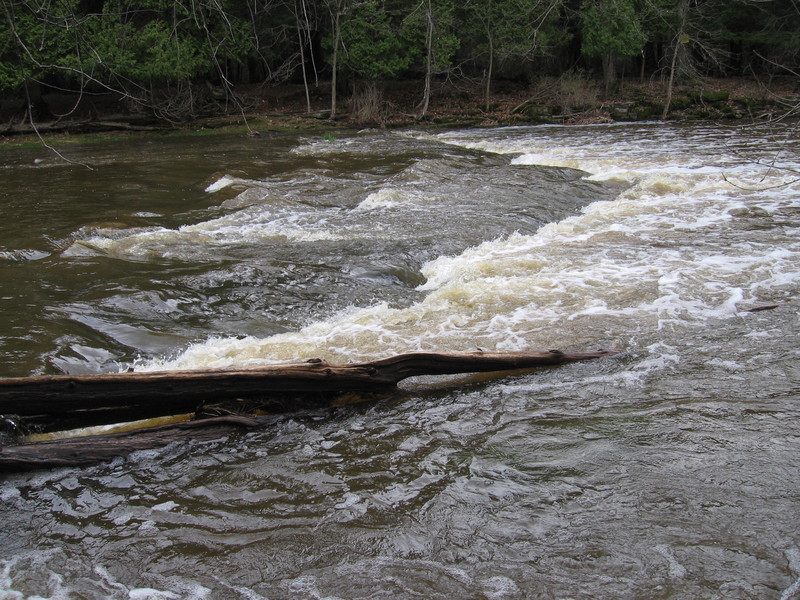
Devils Meet Ledges
Save this feature with the run it belongs to.
Gauge Conditions
Likely too low for enjoyable whitewater. Lower reach OK as a float trip.
Likely too low for enjoyable whitewater (Possibly 0-150 cfs in W.Twin). Lower reach OK as a float trip.
Photo
Description
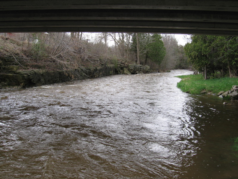
As you round a bend, you head toward the confluence with the Devils River, where the Neshota River ceases to exist, and the combined flow becomes the West Twin. Before the confluence, the Neshota drops over a series of bedrock ledges and waves. At low flows, they are unlikely to cause much problem, and may offer tame possibilities for play. At moderate or higher flows there will be two holes that become rather 'keepy'. They can be skirted by staying far right. Scouting is advised (from river-left shore)! Be very aware as you walk, however, as there are random strands of barbed wire waiting to trip you or rip at your ankles.
Location

Current Conditions
5-Day Forecast
American Whitewater