Playspot
MN
1250' contour; beginning of marked 'rapds' on USGS quads
Save this feature with the run it belongs to.
Gauge Conditions
Runnable: ? – ? CFS
Approximate - nearest available gauge. Use as general reference only.
Data from American Whitewater & USGS
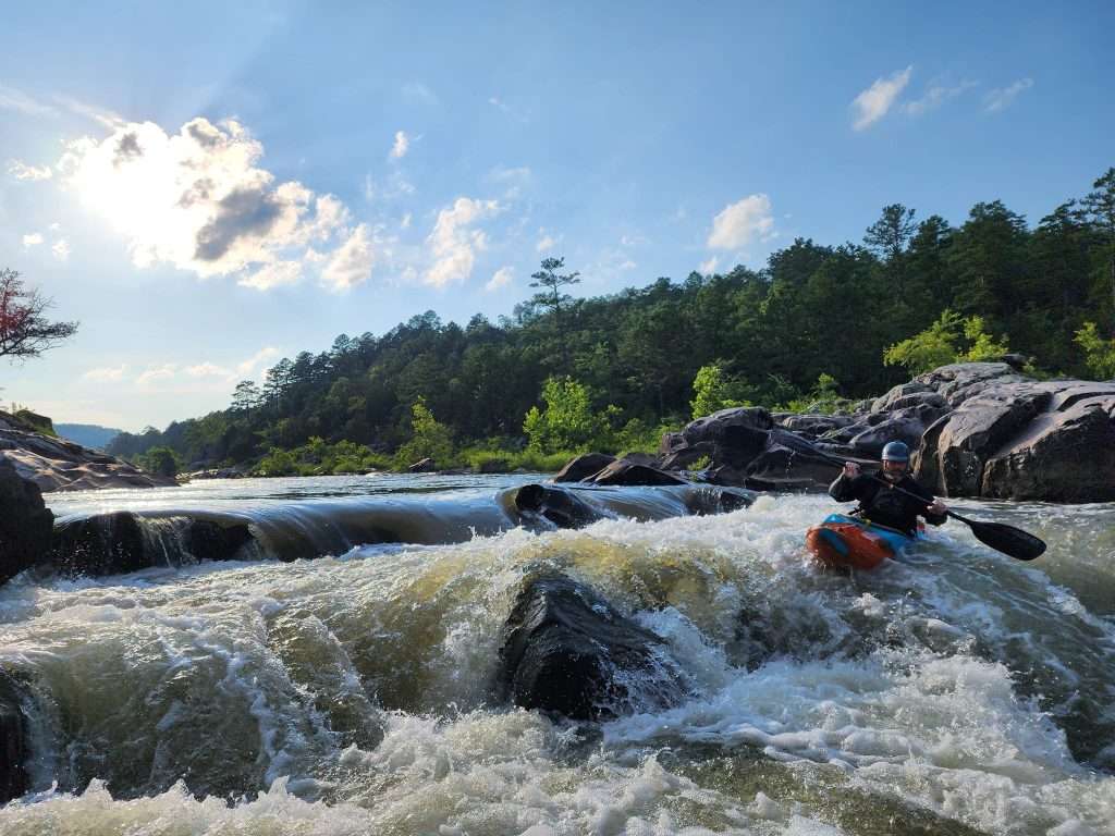
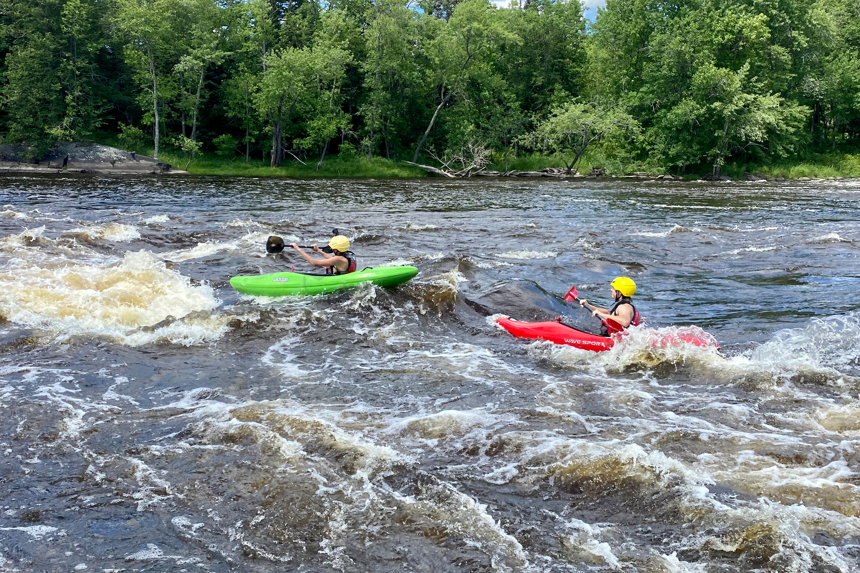
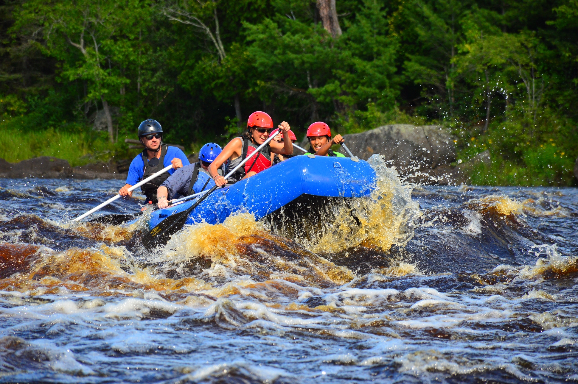
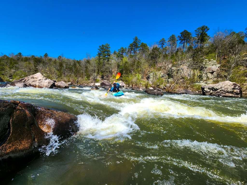
Photo
Photo courtesy of American Whitewater
Description
Scanning the topo maps for this entire reach, the only 'marked' rapids occurs at this location. Certainly there may be other rapids (unmarked) on this reach, but lack of gradient or marked rapids would suggest no reason to paddle this whole (85 mile) reach looking for whitewater. This location appears to be road accessible (with a carry in/out).
Location
Other Rapids on This Run (12)
 Rapid
N/A
Rapid
N/A
1350'
Rapid
II
Rapids (marked on MNDNR map)
Rapid
I
Rapids (marked on MNDNR map)
Rapid
N/A
Drainage: ~691 sq.mi.
 Rapid
N/A
Rapid
N/A
Put In
Rapid
N/A
apparent dam?
 Rapid
N/A
Rapid
N/A
1300'
Portage
N/A
0.1 mile portage or 3.6 mile paddle!
 Rapid
N/A
Rapid
N/A
end of marked 'rapids' on USGS quads
 Rapid
N/A
Rapid
N/A
1200'
 Rapid
N/A
Rapid
N/A
1180'
 Rapid
N/A
Rapid
N/A
Take Out
View Full Run
C) Hwy.53 to Hwy.33 (Cloquet) (95 miles)
St. Louis
I-II
94.5 mi
Current Conditions
5-Day Forecast
Whitewater data from
American Whitewater
American Whitewater