Take-out
MN
Take Out
Save this feature with the run it belongs to.
Gauge Conditions
Runnable: ? – ? CFS
Approximate - nearest available gauge. Use as general reference only.
Data from American Whitewater & USGS
Photo
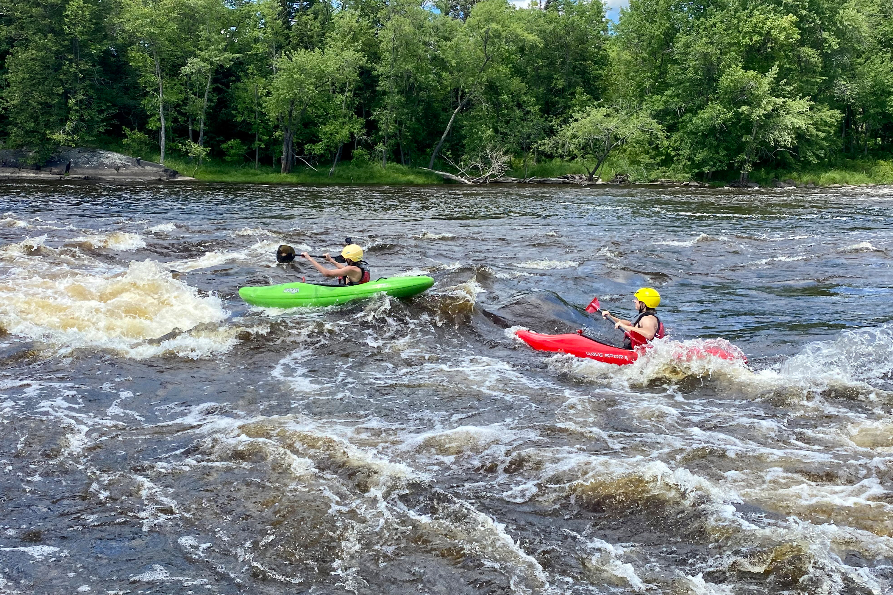
Photo courtesy of American Whitewater
Description
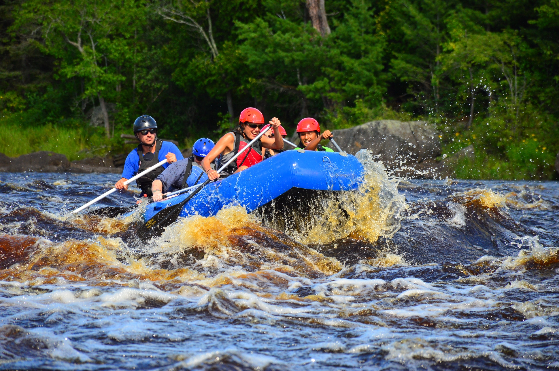
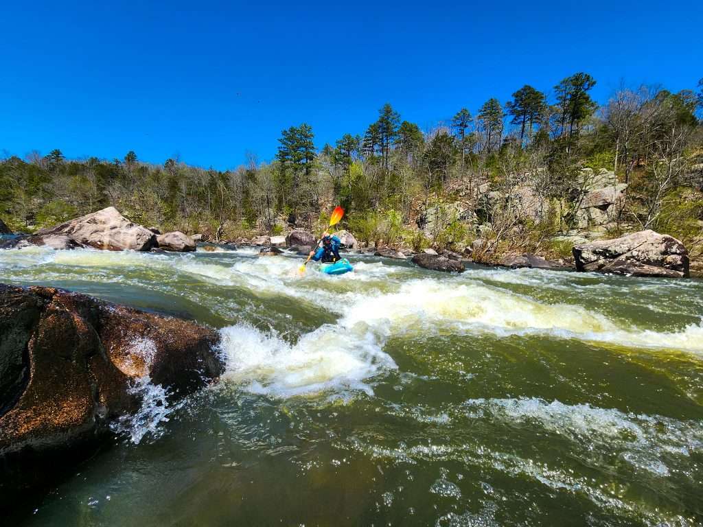
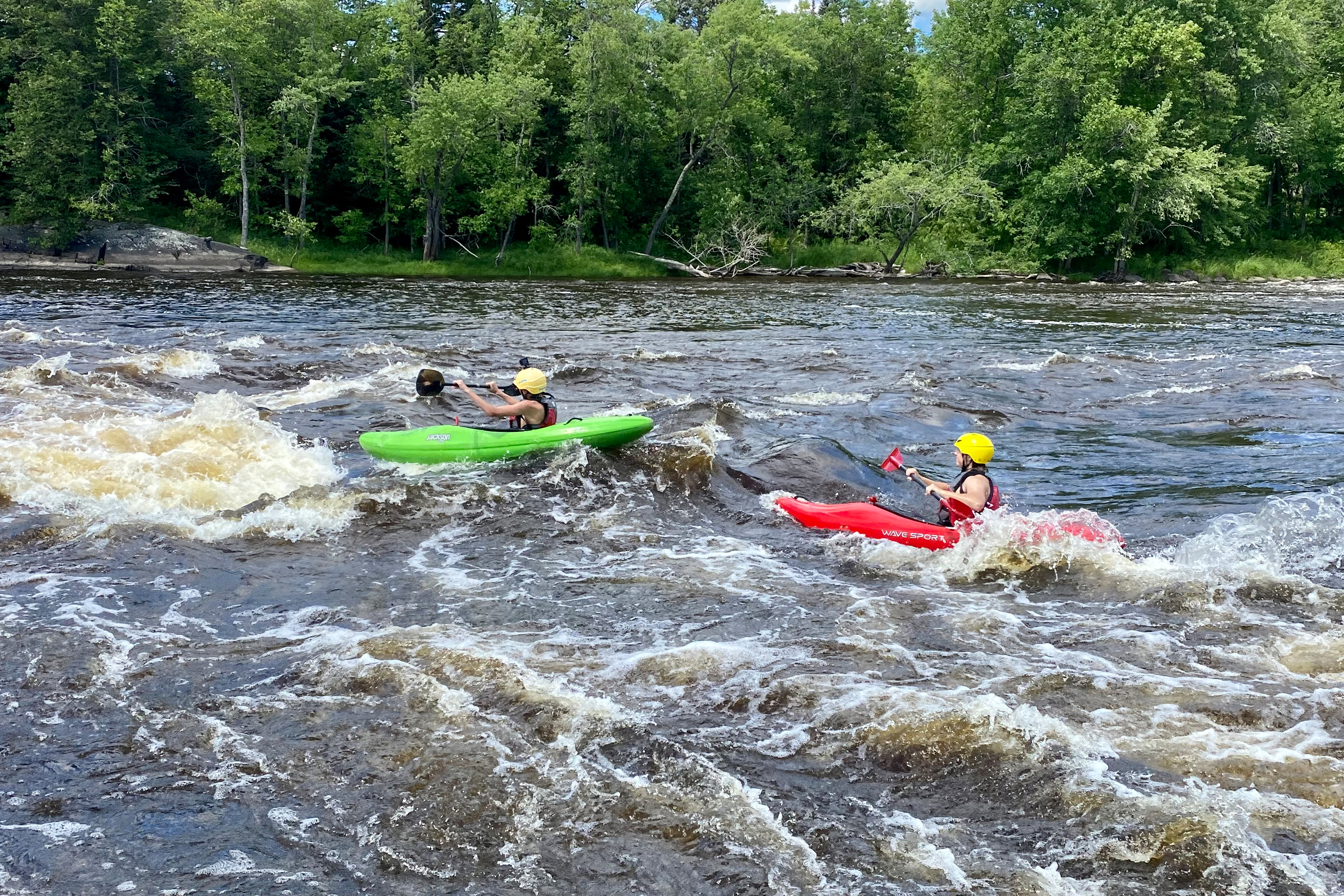
Take Out is a straightforward exit point on the St. Louis River, marking the end of a significant river segment between Highway 53 and Highway 33. While the rapid itself is not characterized by technical challenges, paddlers should be aware of potential river conditions and ensure a safe extraction from the water, paying attention to shoreline terrain and potential obstacles during the takeout process.
Location
Interactive river map
Loads as you approach this section.
Other Rapids on This Run (12)
 Rapid
N/A
Rapid
N/A
1350'
 Rapid
N/A
Rapid
N/A
Put In
Rapid
II
Rapids (marked on MNDNR map)
Rapid
N/A
Drainage: ~691 sq.mi.
Rapid
I
Rapids (marked on MNDNR map)
Rapid
N/A
apparent dam?
 Rapid
N/A
Rapid
N/A
1300'
Portage
N/A
0.1 mile portage or 3.6 mile paddle!
 Playspot
N/A
Playspot
N/A
1250' contour; beginning of marked 'rapds' on USGS quads
 Rapid
N/A
Rapid
N/A
end of marked 'rapids' on USGS quads
 Rapid
N/A
Rapid
N/A
1200'
 Rapid
N/A
Rapid
N/A
1180'
View Full Run
C) Hwy.53 to Hwy.33 (Cloquet) (95 miles)
St. Louis
I-II
94.5 mi
Current Conditions
5-Day Forecast
Whitewater data from
American Whitewater
American Whitewater