Put-in
MN
Put In
Save this feature with the run it belongs to.
Gauge Conditions
Runnable: ? – ? CFS
Approximate - nearest available gauge. Use as general reference only.
Data from American Whitewater & USGS
Photo
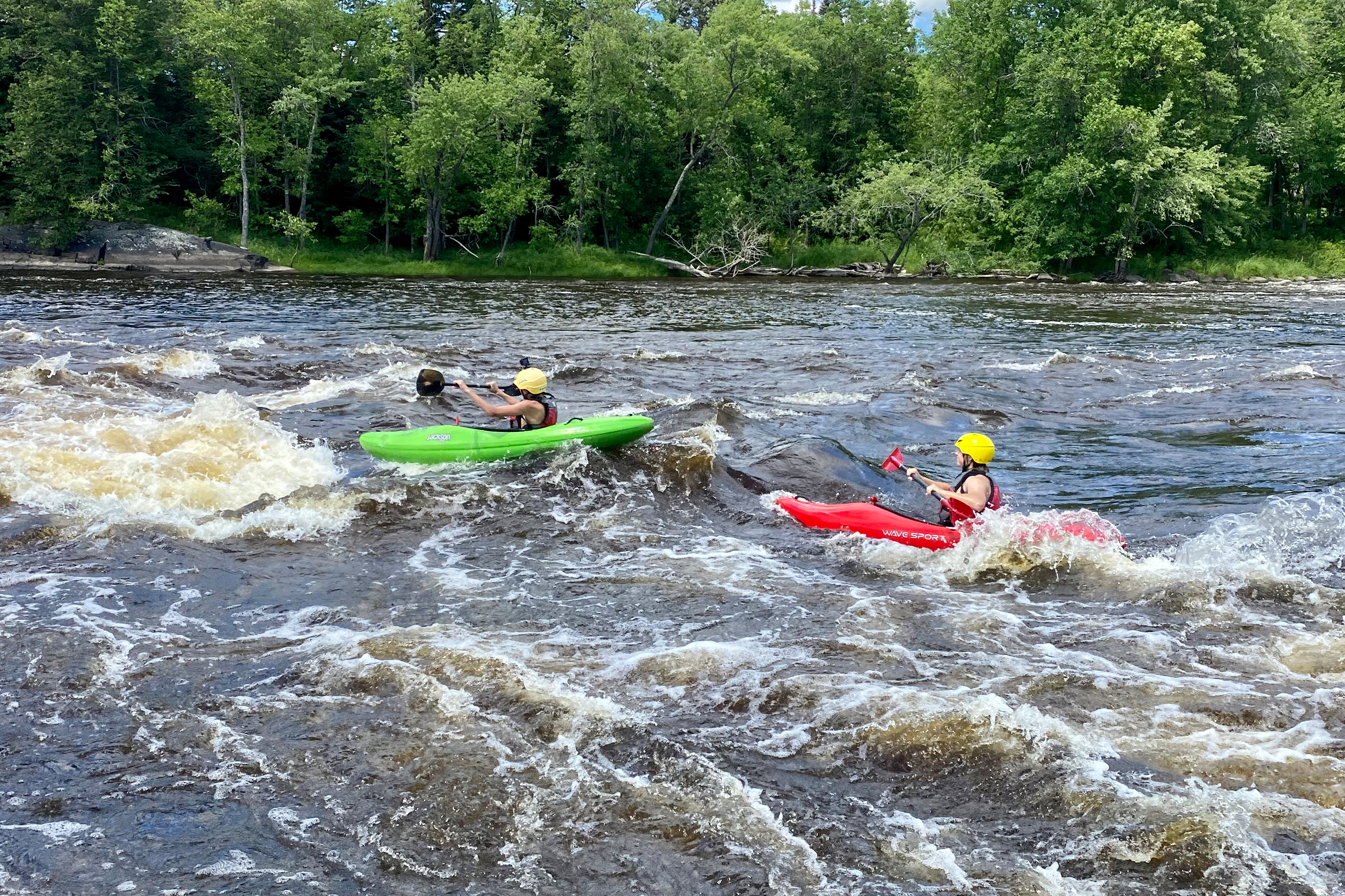
Photo courtesy of American Whitewater
Description
Put In is a straightforward river access point with minimal technical challenges, primarily serving as an entry point for boaters launching onto the St. Louis River section between Highways 53 and 33. While not a significant rapid itself, paddlers should be aware of potential put-in conditions, potential debris, and the surrounding river environment when preparing to launch their watercraft.
Location
Interactive river map
Loads as you approach this section.
Other Rapids on This Run (12)
 Rapid
N/A
Rapid
N/A
1350'
Rapid
II
Rapids (marked on MNDNR map)
Rapid
N/A
Drainage: ~691 sq.mi.
Rapid
I
Rapids (marked on MNDNR map)
Rapid
N/A
apparent dam?
 Rapid
N/A
Rapid
N/A
1300'
Portage
N/A
0.1 mile portage or 3.6 mile paddle!
 Playspot
N/A
Playspot
N/A
1250' contour; beginning of marked 'rapds' on USGS quads
 Rapid
N/A
Rapid
N/A
end of marked 'rapids' on USGS quads
 Rapid
N/A
Rapid
N/A
1200'
 Rapid
N/A
Rapid
N/A
1180'
 Rapid
N/A
Rapid
N/A
Take Out
View Full Run
C) Hwy.53 to Hwy.33 (Cloquet) (95 miles)
St. Louis
I-II
94.5 mi
Current Conditions
5-Day Forecast
Whitewater data from
American Whitewater
American Whitewater