Bull Falls
Save this feature with the run it belongs to.
Gauge Conditions
Likely good boatable flows.
Photo

Description
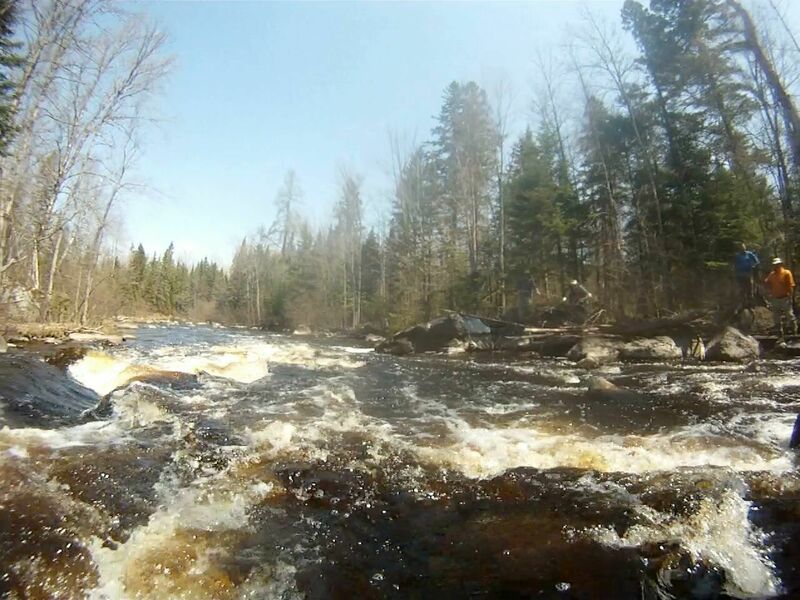
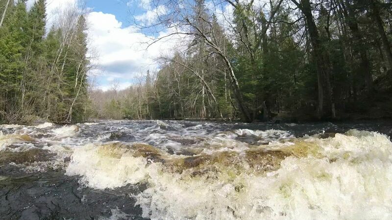
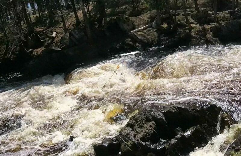
Bull Falls is a 200-foot, class-2 rapids (class-3 potential with bigger waves at high water). The main, right channel presents as a small initial drop then a building run to a final drop through a narrows with bigger waves. There is also a lesser-rapids optional left-channel route around the backside of an island. With higher water levels, the left channel, when not obstructed by logs, can be reached by working tightly along the left bank or carrying around on river-left and putting into the start of the left channel at the top of the island. The left channel goes behind the island and exits below the main-channel rapids. Upriver signs mark both a high-water and a low-water takeout, on river-right, for the well-established portage or scouting trail. Immediately downriver from Bull Falls the river proceeds as 7 continuous miles of fast swifts and class 1 rapids. A boat-exit spill on Bull Falls can be hard to recover from without support in place beforehand.
Location
Other Rapids on This Run (8)
Current Conditions
5-Day Forecast
American Whitewater