Takeout at Bull Falls and Other Takeout Options
Save this feature with the run it belongs to.
Gauge Conditions
Likely good boatable flows.
Description
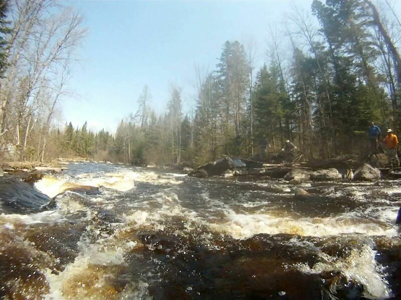
Bull Falls: The river-right (southside) parking lot (45.897870, -88.412243) is up a 200-foot, moderate slope path from the start of the portage trail. The river-left (northside) parking lot (45.898448, -88.408999) from the end of Bull Falls is not easy to get to. From the end of the rapids there is no easy landing spot, the hike is 500 feet, and the initial climb is very steep. and takeout on the northside before the falls is a longer hike to the parking lot with uphill terrain. Takeout before the falls can be less steep but is longer.
Rochon’s Landing: (45.880036, -88.343207): This takeout is a public landing on a slim piece of DNR land. It is 5.3 miles downriver from the end of Bull Falls and is an easy takeout on river-right but in a wide section of the river so be on right side of the river to avoid missing it. In the early spring, the last 500 feet of Thompsons Rd, after the right turn parallel to the river, heading towards Rochon’s landing remains difficult to impossible to drive on until the frost and moisture comes out of the roadbed. Getting stuck is most common on the way out from the landing as it is uphill. Don’t get stuck.
Hwy 101: (45.853510, -88.350581) This is an excellent, any season landing, with parking lot, on river-left before the Hwy 101 Bridge. It is 8.6 miles downriver from the end of Bull Falls.
Location

Current Conditions
5-Day Forecast
American Whitewater