Bump rock
Save this feature with the run it belongs to.
Gauge Conditions
Runnable: 400.0 – 3,000.0 CFS
Upper limit for best boatability uncertain. Please help your fellow boaters with a comment or report.
Data from American Whitewater & USGS
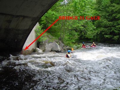
Photo
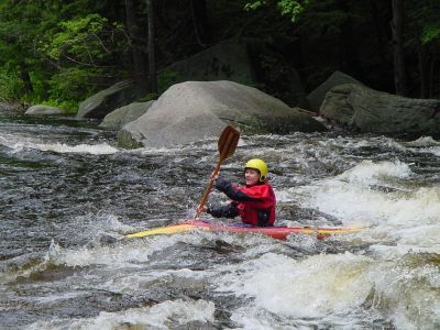
Photo courtesy of American Whitewater
Description
Once the river diverts away from the road on your left for the second time, the river takes a sharp right. In the distance a rock is visible at the end of the river. The river runs into this rock then takes a sharp left. The easiest way to run this in high water is to start from river right then cut to your left just before the rock. In low water you can eddy out on river right just above the rock then easily ferry across the river into the pool below.
Location
Interactive river map
Loads as you approach this section.
View Full Run
1) Greenville to NH Rt. 101 Bridge
Souhegan
II-III
5.6 mi
Current Conditions
5-Day Forecast
Whitewater data from
American Whitewater
American Whitewater