Powerline
Save this feature with the run it belongs to.
Gauge Conditions
Runnable: 400.0 – 3,000.0 CFS
Upper limit for best boatability uncertain. Please help your fellow boaters with a comment or report.
Data from American Whitewater & USGS
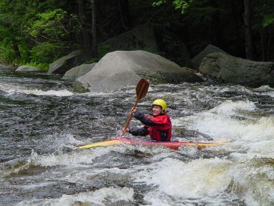
Photo
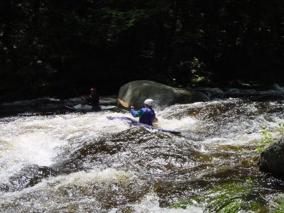
Photo courtesy of American Whitewater
Description
A short ledge drop. It can be identified by powerlines high over head just above. At the rapid lege and boulders protrude from right and left banks. The drop can have a good size hole on the right side at higher levels. Towards the left side there is a large boulder blocking the outrun.
Location
Interactive river map
Loads as you approach this section.
View Full Run
1) Greenville to NH Rt. 101 Bridge
Souhegan
II-III
5.6 mi
Current Conditions
5-Day Forecast
Whitewater data from
American Whitewater
American Whitewater