Townline
Save this feature with the run it belongs to.
Gauge Conditions
Runnable: 400.0 – 3,000.0 CFS
Upper limit for best boatability uncertain. Please help your fellow boaters with a comment or report.
Data from American Whitewater & USGS
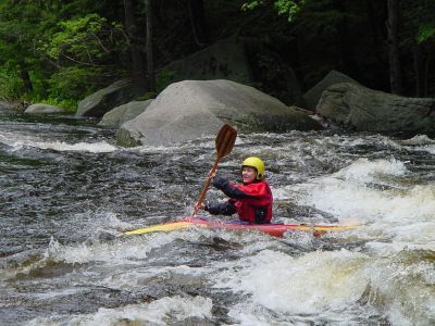
Photo
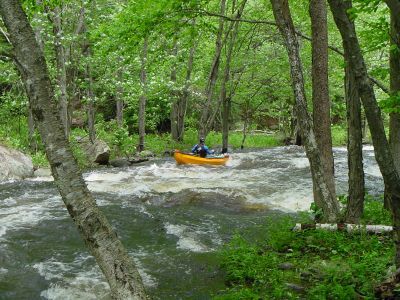
Photo courtesy of American Whitewater
Description
Probably the second most difficult rapid. Not far below Powerline the river widens then constricts into the rapid. Far river left at the wide section there is a boulder jumble with a few interesting chutes in between. The river then narrows down and splits around an island in high water, although the left channel is not too obvious. The main channel is narrow with two boulder / pourovers that upset many paddlers. The first is right of center forcing the paddler to go left, the next is left of center forcing the paddler to move right once more. Be carefull if you swim here since the Ledges section is only a little ways downstream.
Location
Interactive river map
Loads as you approach this section.
View Full Run
1) Greenville to NH Rt. 101 Bridge
Souhegan
II-III
5.6 mi
Current Conditions
5-Day Forecast
Whitewater data from
American Whitewater
American Whitewater