Rapid
WI
Cedar Rapids
Save this feature with the run it belongs to.
Gauge Conditions
Runnable: ? – ? CFS
Approximate - nearest available gauge. Use as general reference only.
Data from American Whitewater & USGS
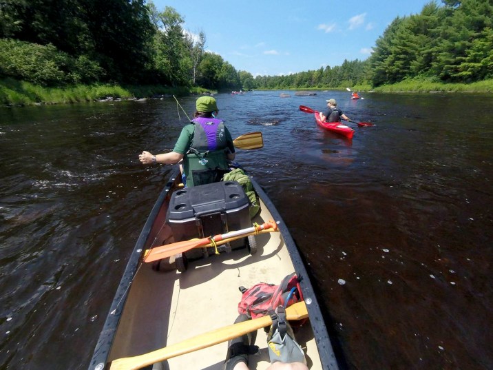
Photo
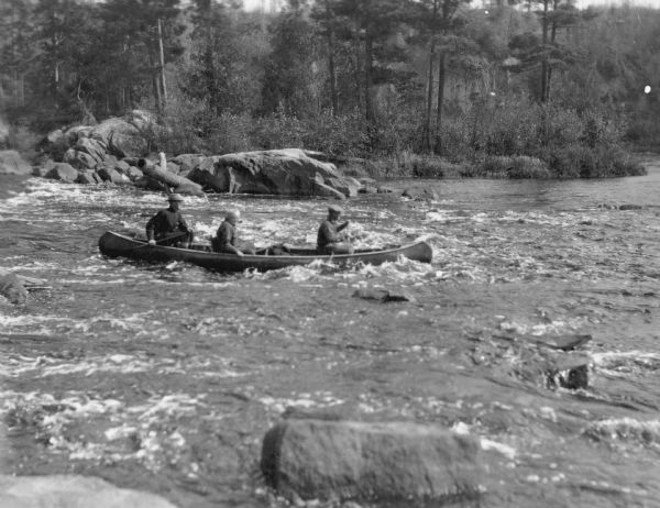
Photo courtesy of American Whitewater
Description
This lies just upstream of the listed put-in (Forest Road 149), and is the final (of only two) listed rapids on the prior reach. It may be possible to put-in above the listed put-in for this reach to start your run out with this rapids, but there is barely anything discernable via Satellite view to suggest it is any big deal.
Location
Interactive river map
Loads as you approach this section.

View Full Run
B) FR149/Ten Mile Rd/Cedar Rapids Rd to Fifield/Hwy.70 (19.4 miles)
Flambeau, S.Fk.
I-II
19.4 mi
Current Conditions
5-Day Forecast
Whitewater data from
American Whitewater
American Whitewater