Put-in
WI
Put In
Save this feature with the run it belongs to.
Gauge Conditions
Runnable: ? – ? CFS
Approximate - nearest available gauge. Use as general reference only.
Data from American Whitewater & USGS
Photo
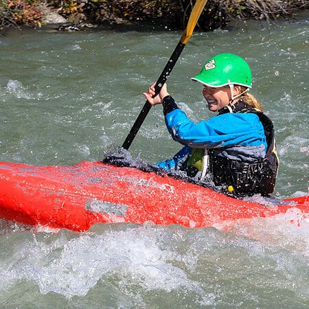
Photo courtesy of American Whitewater
Description
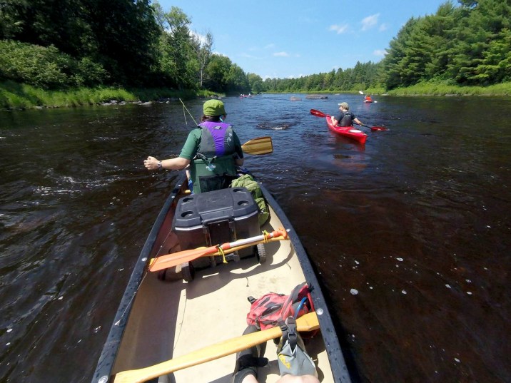
The Put In rapid marks the beginning of the Flambeau's South Fork run, providing paddlers an initial introduction to the river's character. While specifics of this particular rapid are not detailed, the surrounding section suggests a moderate wilderness waterway that requires standard river navigation skills and awareness of potential hydraulic features.
Location
Interactive river map
Loads as you approach this section.

View Full Run
B) FR149/Ten Mile Rd/Cedar Rapids Rd to Fifield/Hwy.70 (19.4 miles)
Flambeau, S.Fk.
I-II
19.4 mi
Current Conditions
5-Day Forecast
Whitewater data from
American Whitewater
American Whitewater