Rapid
WI
Divine Rapids
Save this feature with the run it belongs to.
Gauge Conditions
Runnable: ? – ? CFS
Approximate - nearest available gauge. Use as general reference only.
Data from American Whitewater & USGS
Photo
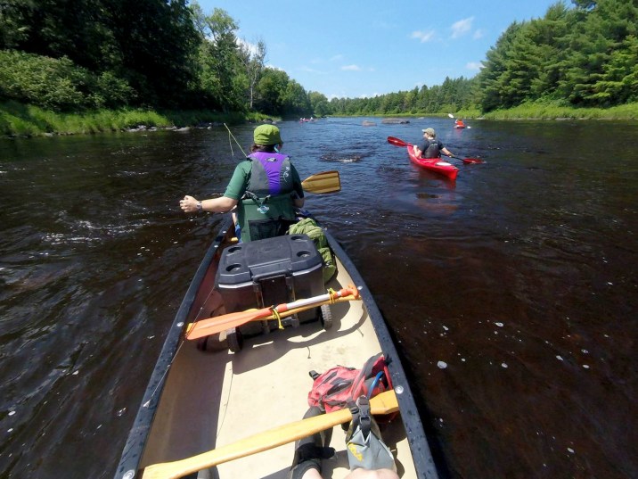
Photo courtesy of American Whitewater
Description
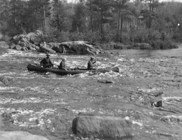
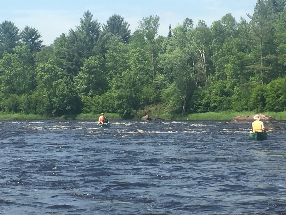
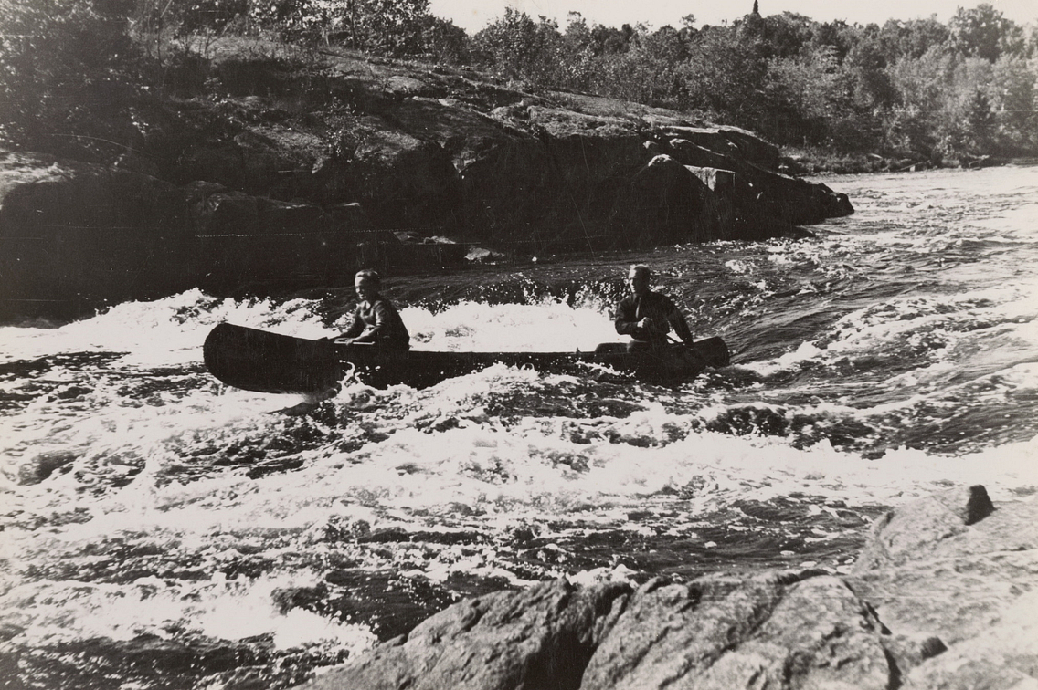
Topo maps show a 'Divine Rapids' at this location. If you can 'divine' any rapids here (while looking at the satellite view), you are doing better than I am. I would conclude it is probably a low-grade (class I-II) set of riffles or boulder-bed rapids.
Location
Interactive river map
Loads as you approach this section.



View Full Run
B) FR149/Ten Mile Rd/Cedar Rapids Rd to Fifield/Hwy.70 (19.4 miles)
Flambeau, S.Fk.
I-II
19.4 mi
Current Conditions
5-Day Forecast
Whitewater data from
American Whitewater
American Whitewater