Rapid
NH
Class V Section
Save this feature with the run it belongs to.
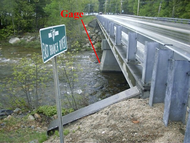
Gauge Conditions
Data from American Whitewater & USGS
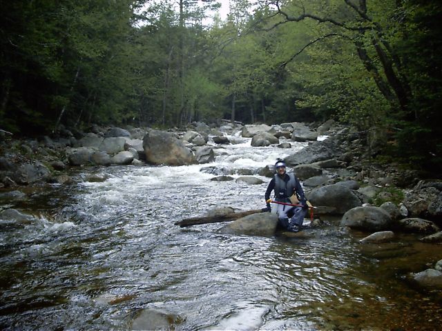
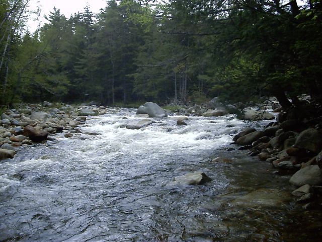
Photo
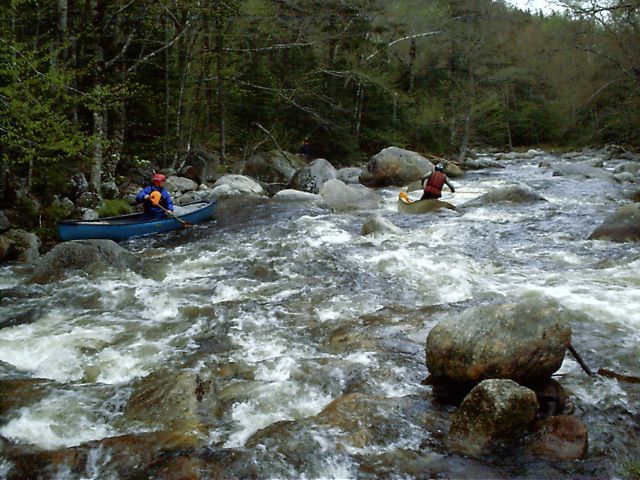
Photo courtesy of American Whitewater
Description
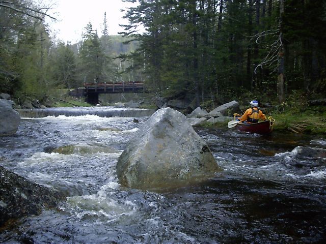
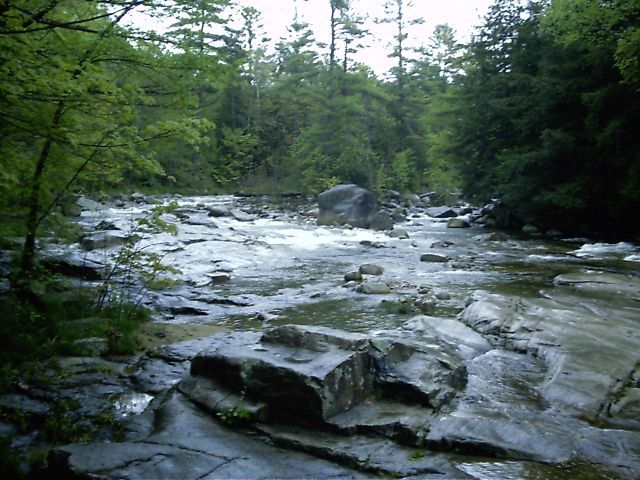
The Class V section is two miles of continuous class IV rapids joined by numerous class V drops. The national forest East Branch Trail follows along river left for the first mile-and-a-half.
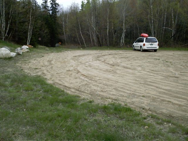
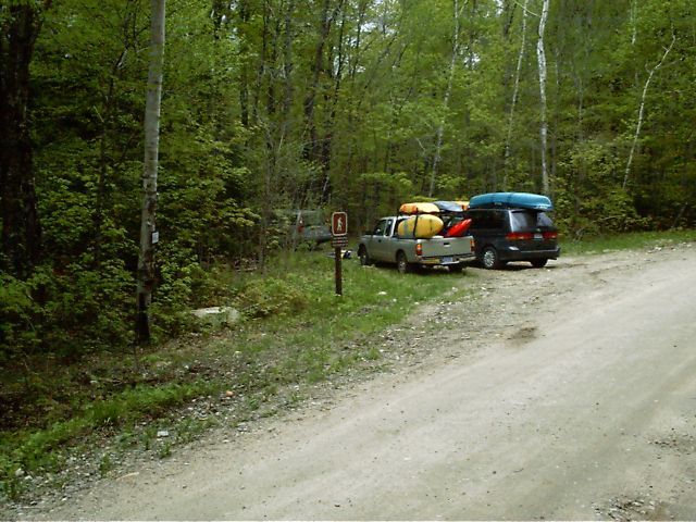
Location
Other Rapids on This Run (10)
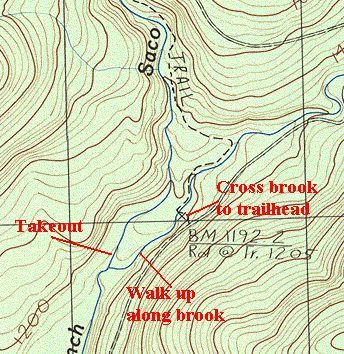
View Full Run
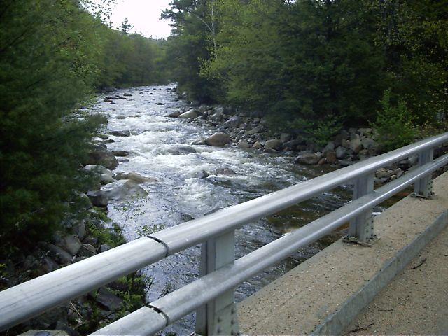
Route 302 at Lower Bartlett
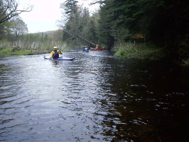
Saco - East Branch
IV-V
2.1 mi
Current Conditions
5-Day Forecast
Whitewater data from
American Whitewater
American Whitewater