Take-out
NH
Class V Takeout
Save this feature with the run it belongs to.
Gauge Conditions
Data from American Whitewater & USGS
Photo
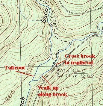
Photo courtesy of American Whitewater
Description
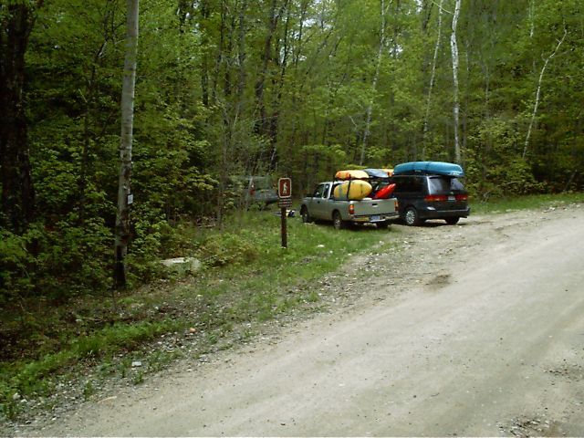
Take out on river left at the confluence just upstream where Slippery Brook joins the main channel (coord 44 09.176, -71 06.661) , walk upstream between the two channels 0.2 miles to the East Branch Trail, cross the brook to the trailhead and road.
Location
Interactive river map
Loads as you approach this section.
Other Rapids on This Run (10)








View Full Run
Route 302 at Lower Bartlett
Saco - East Branch
IV-V
2.1 mi
Current Conditions
5-Day Forecast
Whitewater data from
American Whitewater
American Whitewater