Conemaugh Viaduct Rapids (Loop Takeout)
Save this feature with the run it belongs to.
Gauge Conditions
Runnable: 8.7 – 12.5 FT
Low runnable to a decent flow. Echo may be approaching the highest it can be run safely.
Data from American Whitewater & USGS
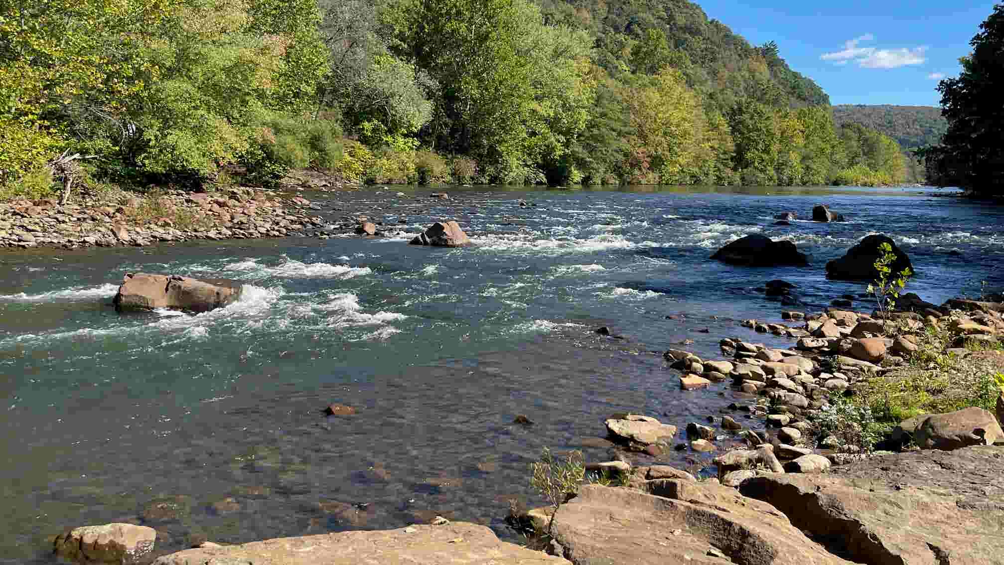
Photo
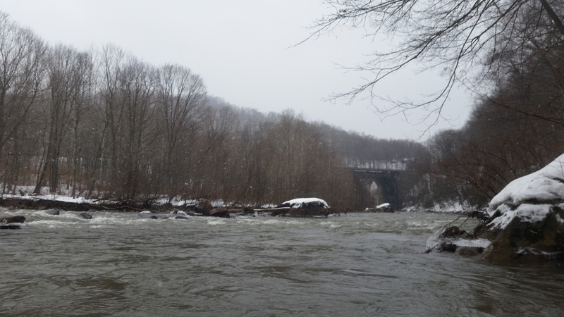
Photo courtesy of American Whitewater
Description
After doldrums around 2.8 miles in the river splits 3 ways, normal run to mineral point and beyond is center or right, but if you go right you can exit river on river right for a loop. There is a sloping path to the right you can walk up to near the top of the big bridge and put back in, just eddy out on the right. You will miss the next bigger II (conemaugh viaduct rapids) before Mineral Point take out, or attain back to it, as you would have to cross railroad.
Location
Interactive river map
Loads as you approach this section.
Other Rapids on This Run (12)




View Full Run
South Fork to Johnstown
Little Conemaugh
II-III(V)
9.1 mi
Current Conditions
5-Day Forecast
Whitewater data from
American Whitewater
American Whitewater