Put In - North Confluence
Save this feature with the run it belongs to.
Gauge Conditions
Runnable: 8.7 – 12.5 FT
Low runnable to a decent flow. Echo may be approaching the highest it can be run safely.
Data from American Whitewater & USGS
Description
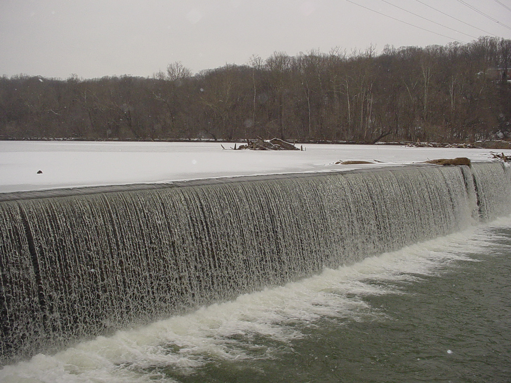
This is the standard put in location where the South and the North fork of the Little Conemaugh confluence in the town of South Fork. There is a trailhead here for the path of the flood and parking on either side of the bridge down past the post office. Put in here, you will see the north branch coming in shortly after on river right. This begins some class I all the way until the dam that you must portage around.
Location
Interactive river map
Loads as you approach this section.
Other Rapids on This Run (12)
 Hazard
N/A
Hazard
N/A
Low Head Dam
 Rapid
II
Rapid
II
Loop Section
 Playspot
III
Playspot
III
Cockscomb
 Rapid
II+
Rapid
II+
Around The Bend
 Rapid
II
Rapid
II
Bear Run
 Rapid
III
Rapid
III
Whale Rock
 Rapid
II
Rapid
II
Left Channel
 Rapid
II
Rapid
II
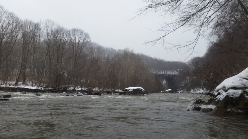
Conemaugh Viaduct Rapids (Loop Takeout)
 Rapid
N/A
Rapid
N/A
Mineral Point Take Out
 Rapid
II
Rapid
II
Class II
 Waterfall
V
Waterfall
V
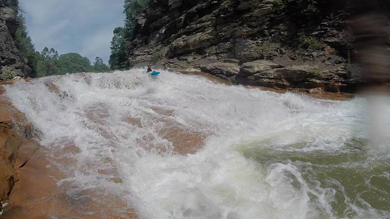
Echo
 Rapid
N/A
Rapid
N/A
Clapboard Run Takeout
View Full Run
South Fork to Johnstown
Little Conemaugh
II-III(V)
9.1 mi
Current Conditions
5-Day Forecast
Whitewater data from
American Whitewater
American Whitewater