Confluence Deer Creek/Underwood Creek: Drainage area: 16 sq.mi.
Save this feature with the run it belongs to.
Gauge Conditions
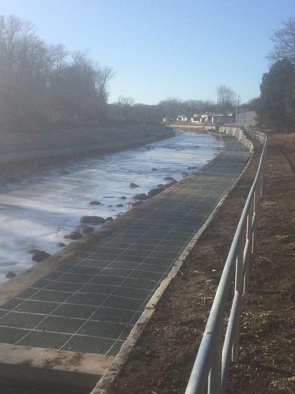
Too low. Boat and paddle abuse (scraping down a cement ditch and rocky rapids).
Photo
Description
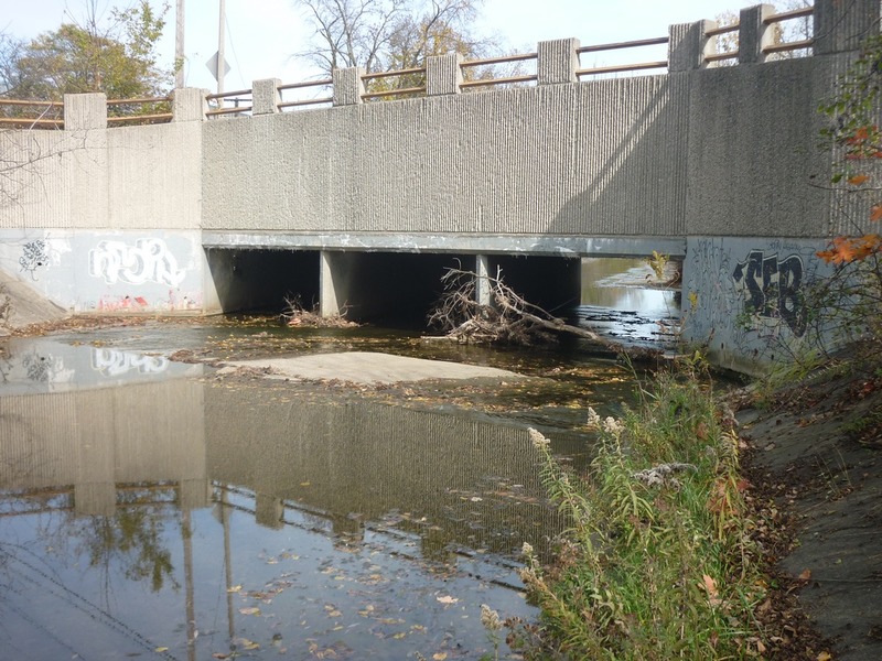
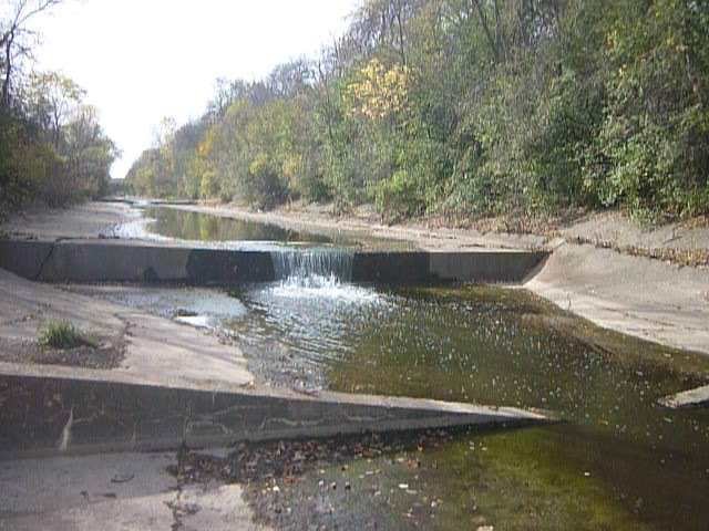
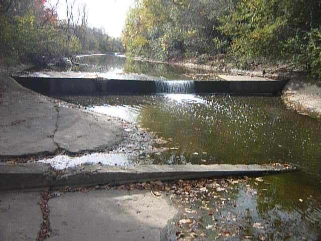
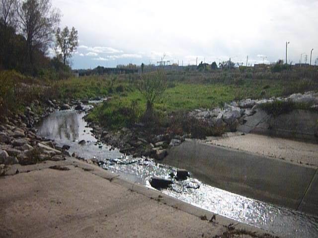
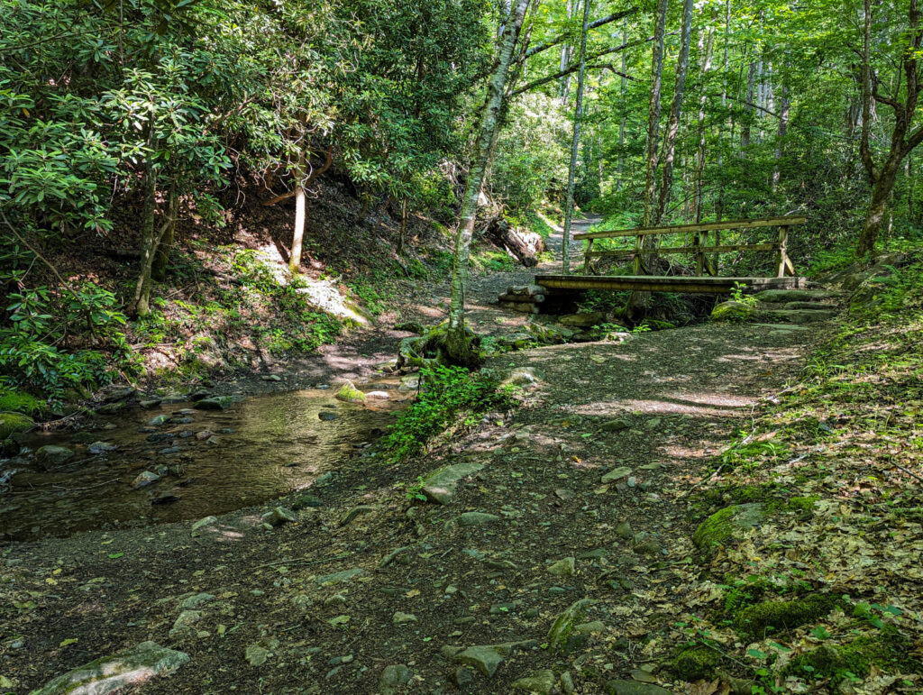
Immediately after you pass under Bluemound Road (or, using the alternate put-in, immediately after the brief rocky rapids) you reach a confluence.
Some references call one tributary Deer Creek and the other Underwood Creek. Other references label them Underwood and S.Br.Underwood. Still other evidence regarding the non-cement-ditch suggests it may be Indian Creek based upon a street named Indian Creek Parkway (well-upstream near Wirth Park).
If the relative flows (of the two entities at the confluence) happen to be just right, a bit of minor surfs or odd-current play may be possible here (though don't expect too much).
The combined drainage area at this point is about 16 square miles.
Location
Other Rapids on This Run (20)
 Rapid
I
Rapid
I
 Waterfall
II
Waterfall
II
 Waterfall
II
Waterfall
II
 Waterfall
II
Waterfall
II
 Hazard
II+
Hazard
II+
 Rapid
N/A
Rapid
N/A
 Waterfall
II
Waterfall
II
 Waterfall
II
Waterfall
II
 Waterfall
N/A
Waterfall
N/A
 Waterfall
N/A
Waterfall
N/A
 Hazard
II
Hazard
II
 Waterfall
N/A
Waterfall
N/A
Current Conditions
5-Day Forecast
American Whitewater