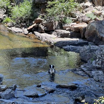
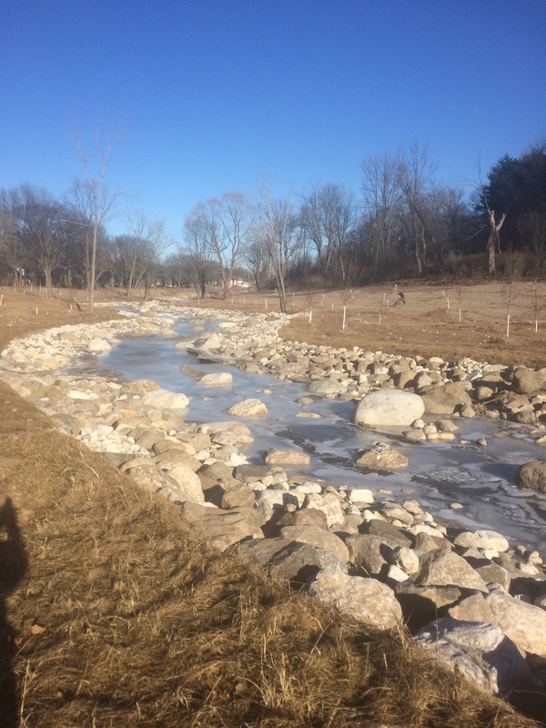
Hoyt Park; Drainage area: ~110 sq.mi.
Save this feature with the run it belongs to.
Gauge Conditions
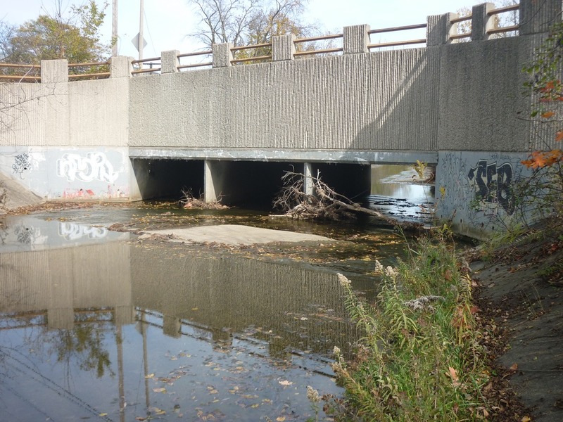
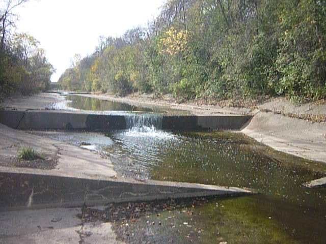
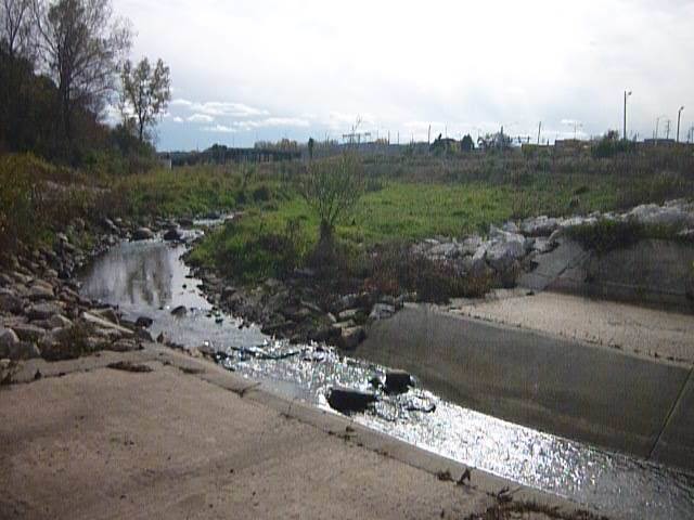
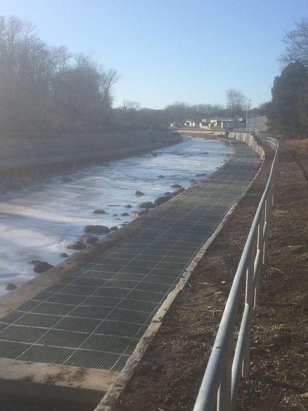
Too low. Boat and paddle abuse (scraping down a cement ditch and rocky rapids).
Photo
Description
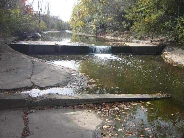
This is the first convenient access point (take-out) after Underwood confluences with the Menomonee, thus is our listed take-out for a run on Underwood Creek.
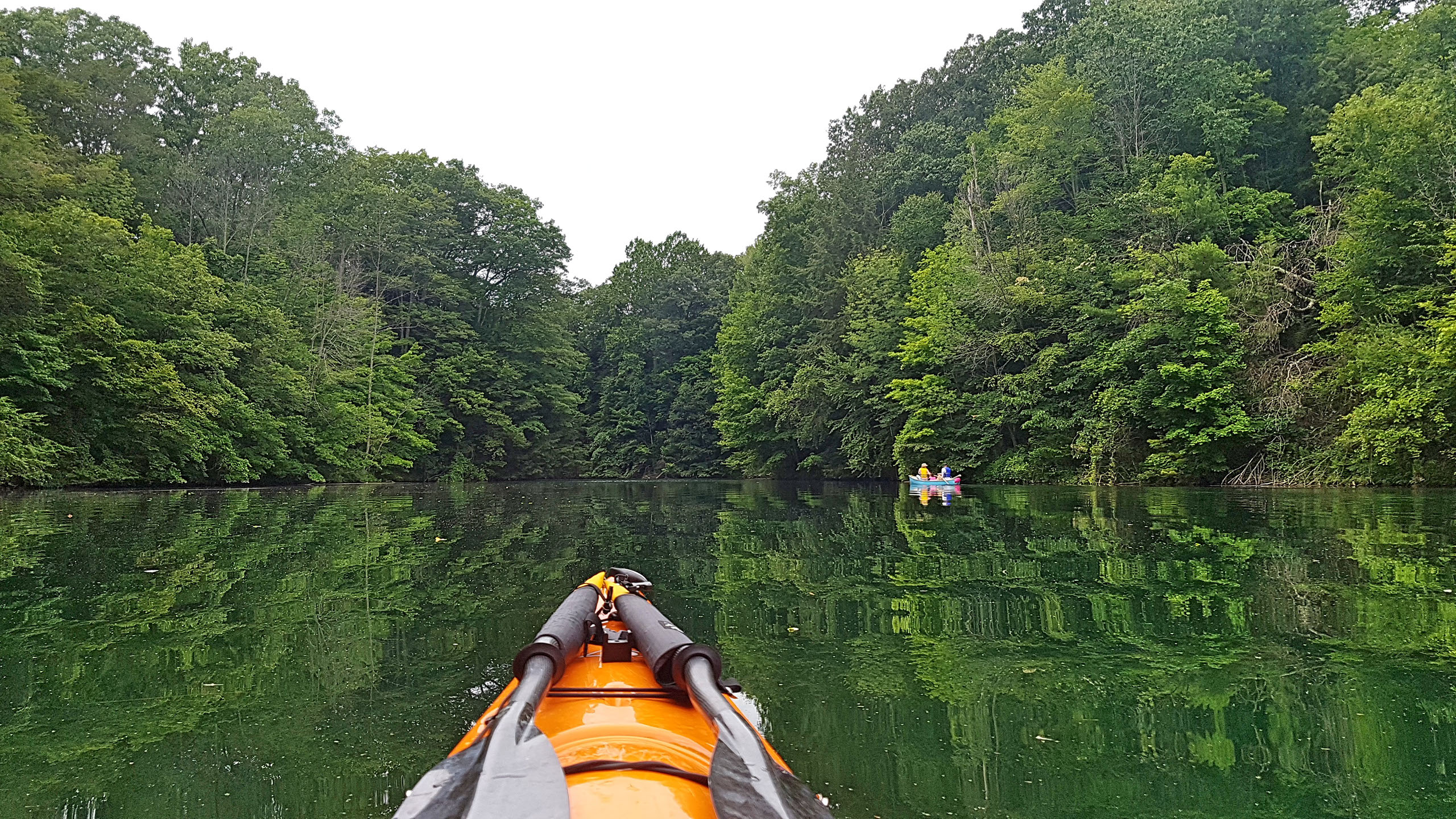
However, any paddlers who run Underwood Creek may opt to continue down the Menomonee to enjoy two very different experiences: a relatively lower-volume cement ditch run (on Underwood), and a relatively high volume run (with the Menomonee having about 8-times the drainage area thus likely something near 8-times the flow). Please be VERY aware of flows and how they may be changing even while you are paddling, especially if raining while you are on the run.
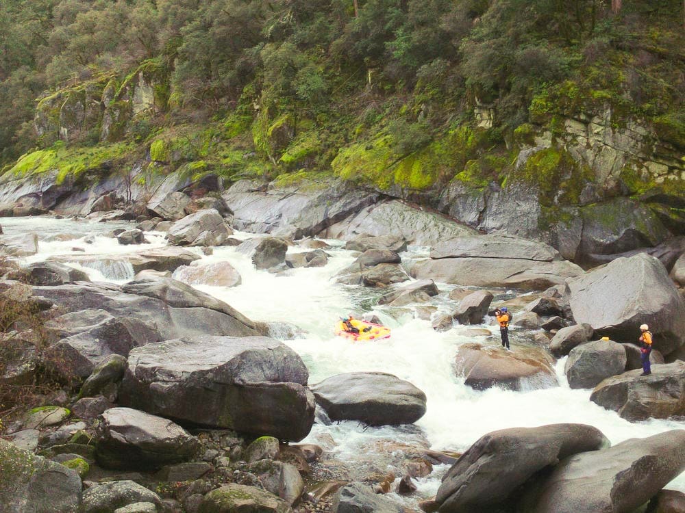
You may opt to just finish the upper section (MenWesTosa), or continue to the lower section (MenTosa) for the best whitewater on the run. (Refer to each of those descriptions for complete info on what you will encounter, and recommended access points.)
Location
Other Rapids on This Run (20)
 Playspot
I
Playspot
I
 Rapid
I
Rapid
I
 Waterfall
II
Waterfall
II
 Waterfall
II
Waterfall
II
 Waterfall
II
Waterfall
II
 Hazard
II+
Hazard
II+
 Rapid
N/A
Rapid
N/A
 Waterfall
II
Waterfall
II
 Waterfall
II
Waterfall
II
 Waterfall
N/A
Waterfall
N/A
 Waterfall
N/A
Waterfall
N/A
 Hazard
II
Hazard
II
Current Conditions
5-Day Forecast
American Whitewater